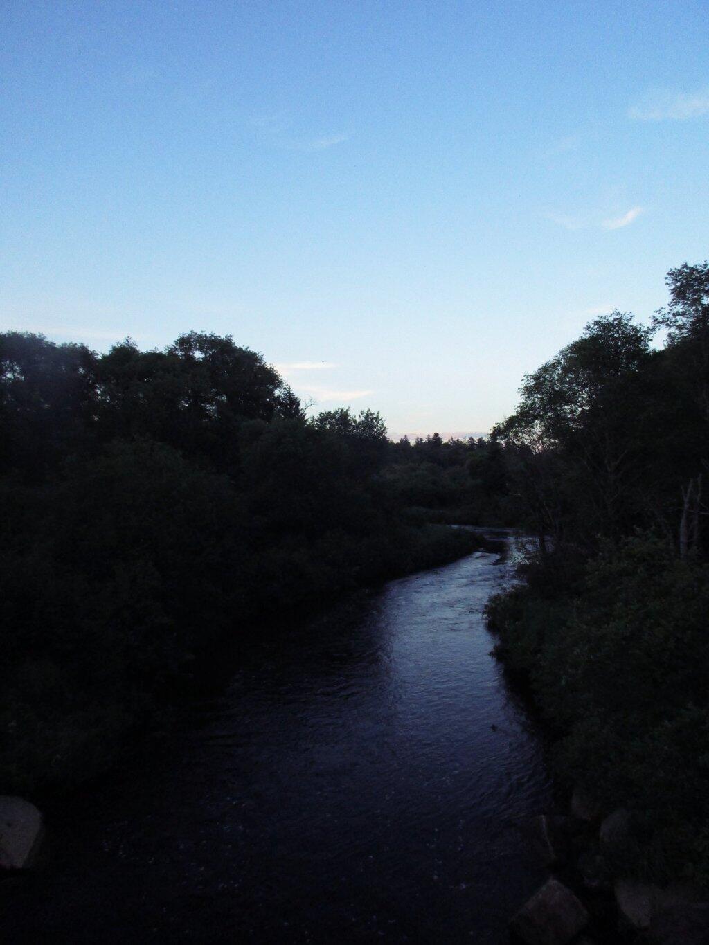
Moose River


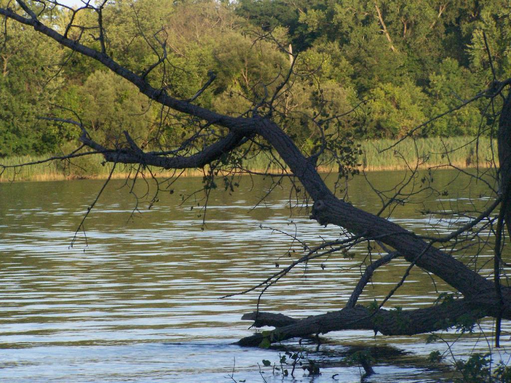


This shows what the lake was at when it was at it's high point earlier this spring, some 10 feet higher then where it is now -- which is still pretty high.
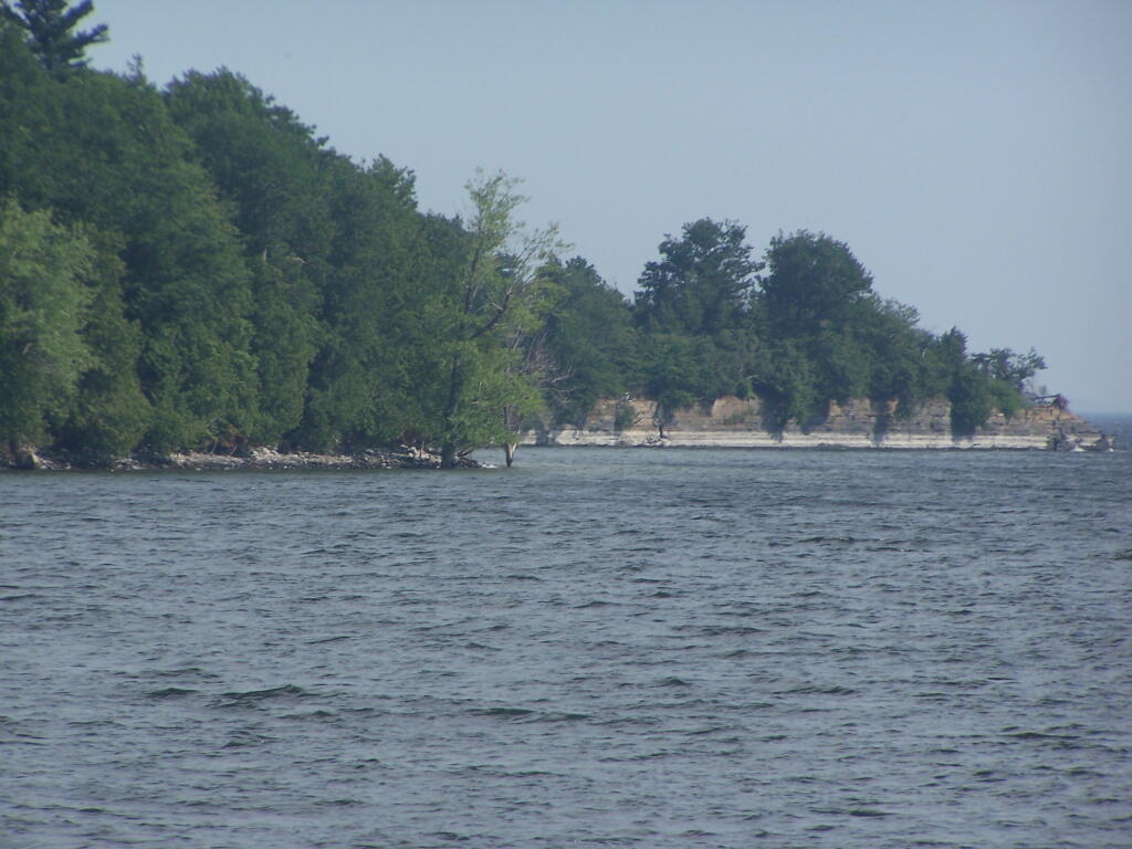
Sunday July 3, 2011 — Point Au Roche