Charles Baker State Forest
Download a High Resolution JPEG Image of the Charles Baker State Forest or an Adobe Acrobat Printable PDF of the Charles Baker State Forest.


Bookmark my free Interactive GPS Map for your phone:
https://andyarthur.org/ny
... shows your location as a blue dot in relationship to campsites, trails, state land. This online map requires cell service, won't work in remote country, so also bring a paper map.
Free Download of New & Historical USGS 1:24k Topograpic Maps
Interactive maps with backcountry and roadside camping: New York, Pennsylvania, West Virginia & Vermont. List of NYS DEC Lean-Tos and Firetowers.
Google Spreadsheet with Roadside, Primitive and Pay Campsites
More about Charles Baker State Forest...
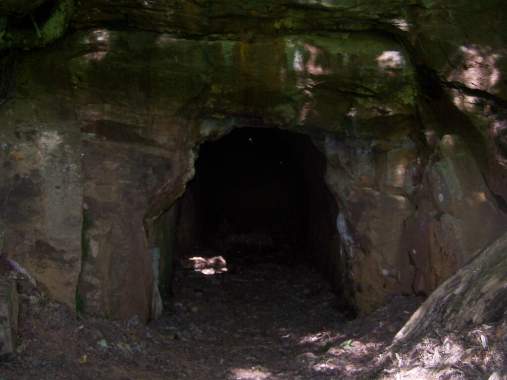
Charles Baker State Forest is named after the first District Forester who administered it. This property totals over 9,400 acres in southeast Madison County and makes up the core area for the Brookfield Trail System. This highly acclaimed horse and snowmobile trail system has over 130 miles of trails set throughout three state forests (Charles Baker State Forest, Brookfield Railroad State Forest, and Beaver Creek State Forest) that make up the Brookfield unit management area. These three forests collectively provide 13,750 acres of public reforestation lands for multiple recreation purposes.
http://www.dec.ny.gov/lands/8225.html
Download the PDF Map Pack with All Maps from Charles Baker State Forest.


