Low Head Dams Are Dangerous
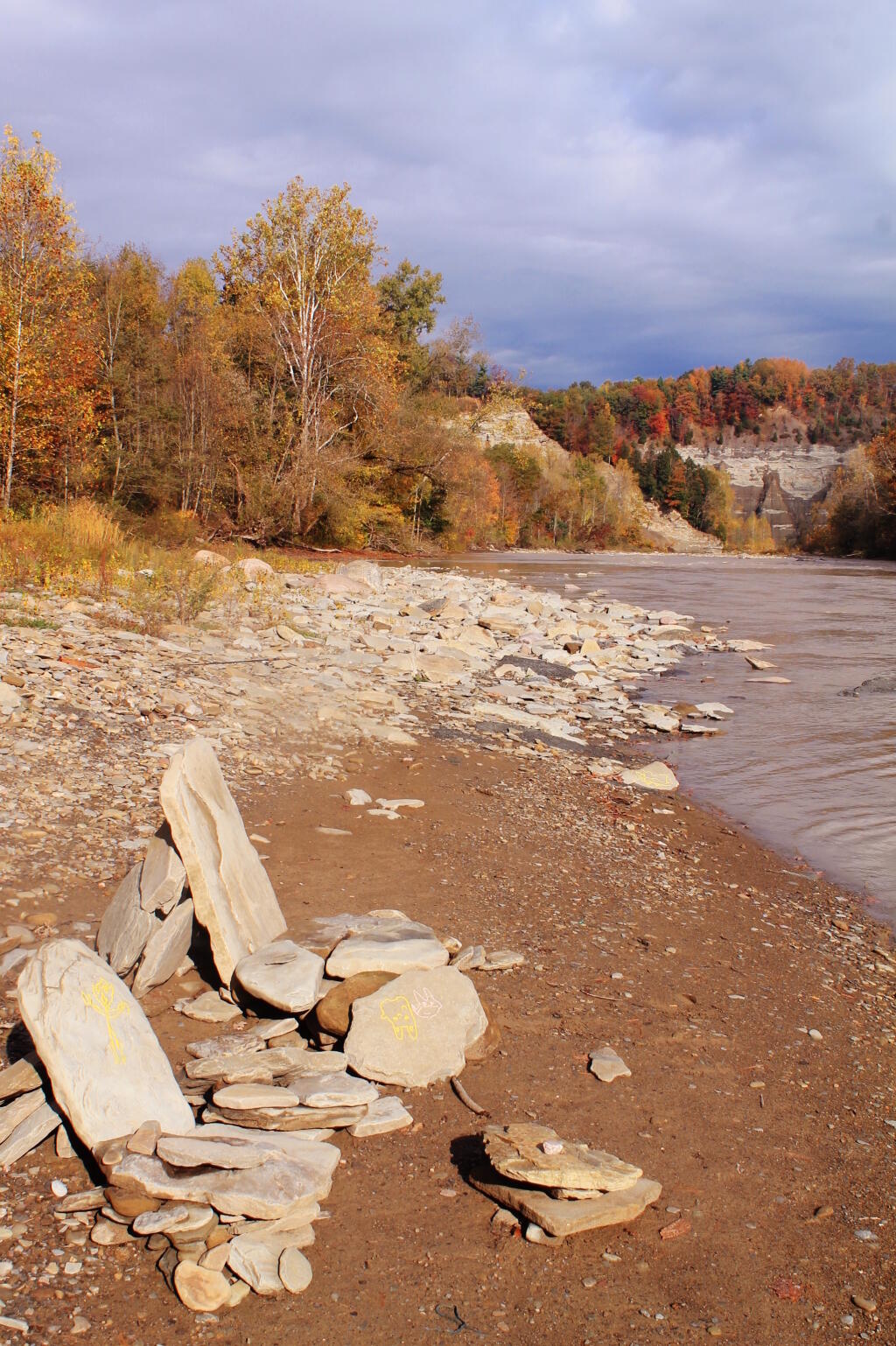
The reds of the maple highlight the danger that low head dams pose to kayakers and wildlife. This dam probably exists to provide water to canal, or maybe it's historical. I don't know, but looking from upstream, you would never realize there is a dam there except for some warning sides. That said, the Mohawk is a mix of rapids and falls around Peebles Island.
Saturday October 19, 2019 — Peebles Island State Park
")