Red Hill Firetower
Download a High Resolution JPEG Image of the Red Hill Firetower or an Adobe Acrobat Printable PDF of the Red Hill Firetower.


Bookmark my free Interactive GPS Map for your phone:
https://andyarthur.org/ny
... shows your location as a blue dot in relationship to campsites, trails, state land. This online map requires cell service, won't work in remote country, so also bring a paper map.
Free Download of New & Historical USGS 1:24k Topograpic Maps
Interactive maps with backcountry and roadside camping: New York, Pennsylvania, West Virginia & Vermont. List of NYS DEC Lean-Tos and Firetowers.
Google Spreadsheet with Roadside, Primitive and Pay Campsites
More about Red Hill Firetower...
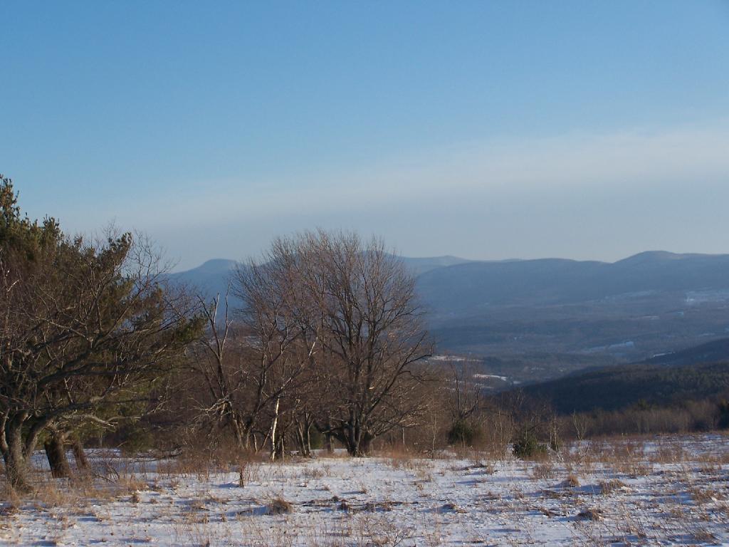
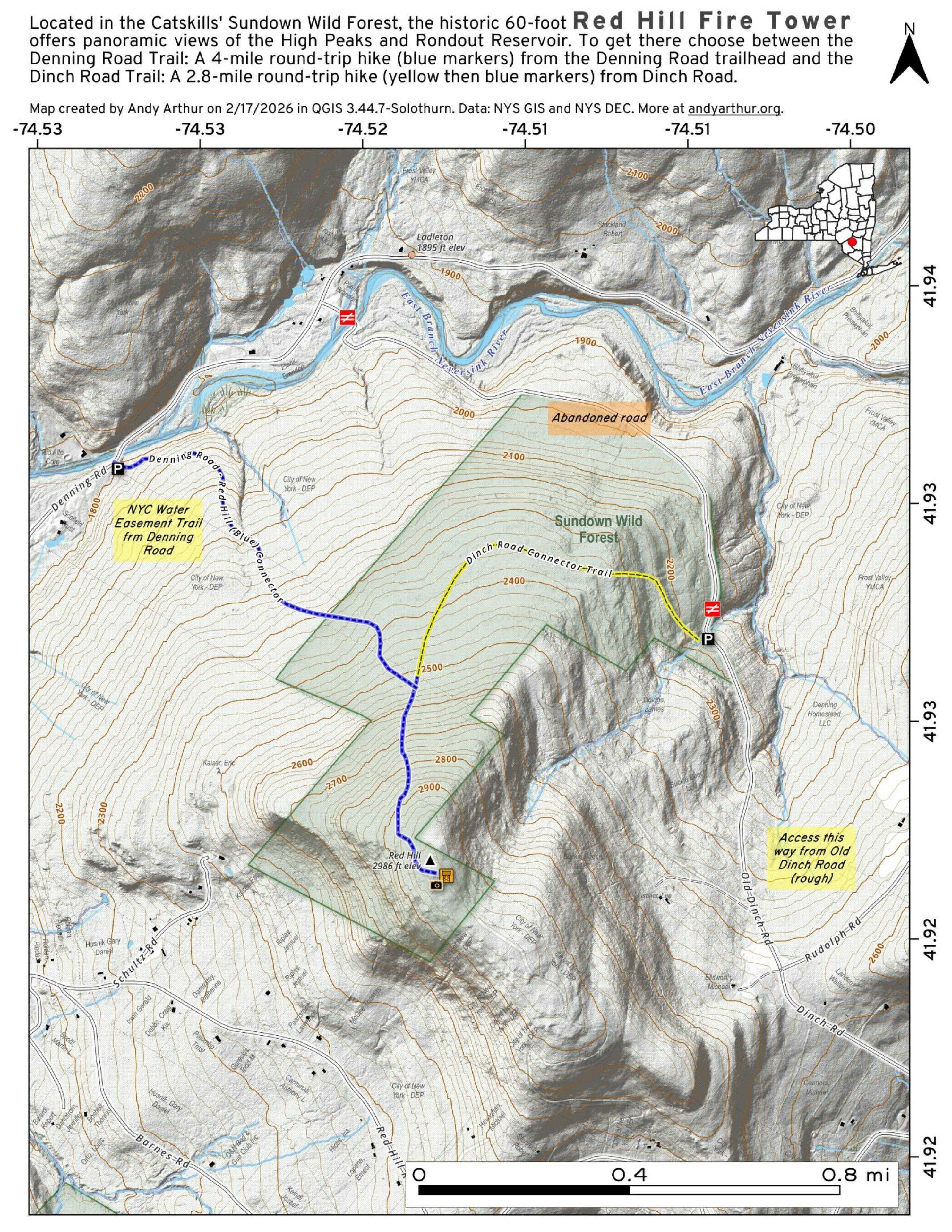
Red Hill Firetower in Denning-Elevation 2,990 feet
The Red Hill Fire Tower stands 60 feet tall, has nine flights of stairs, and was constructed in 1921. This tower affords an unsurpassed view of the Catskill high peaks to the west and north, and the Rondout Reservoir to the southeast. It was the last fire tower staffed in the Catskills, closing in 1990.
Directions: Follow the yellow-marked Red Hill Tower Trail from Coons Road (formerly Dinch Road) just outside of Claryville-a moderate, three-mile, round-trip hike.
http://www.dec.ny.gov/lands/76620.html


