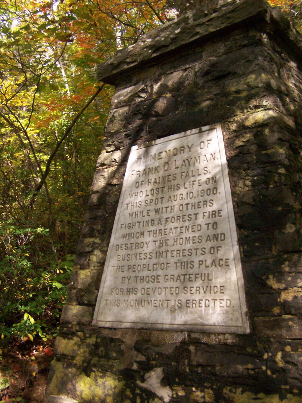
Layman’s Monument

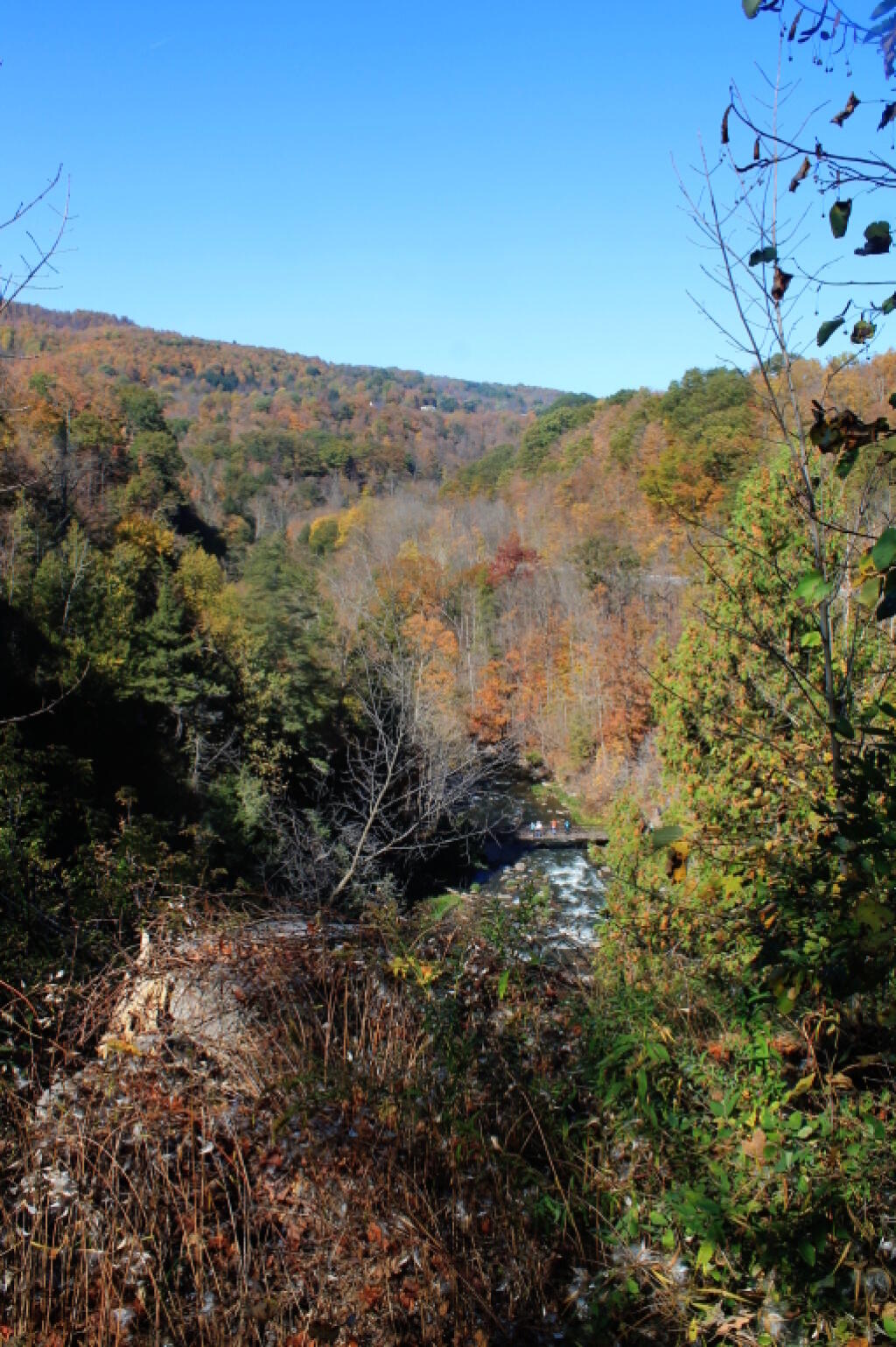

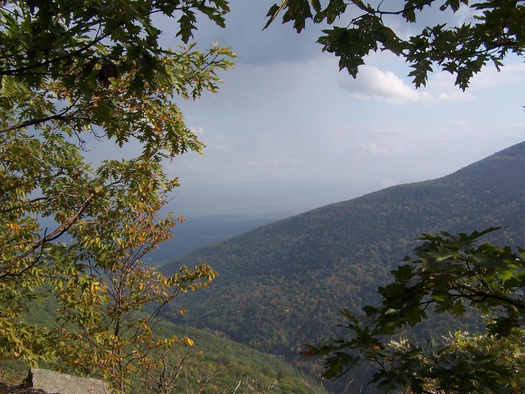
From the trail follows very close to a steep edge of the cliff. I was a bit scared to stop and take pictures, and not keep my eyes on the trail the whole time.
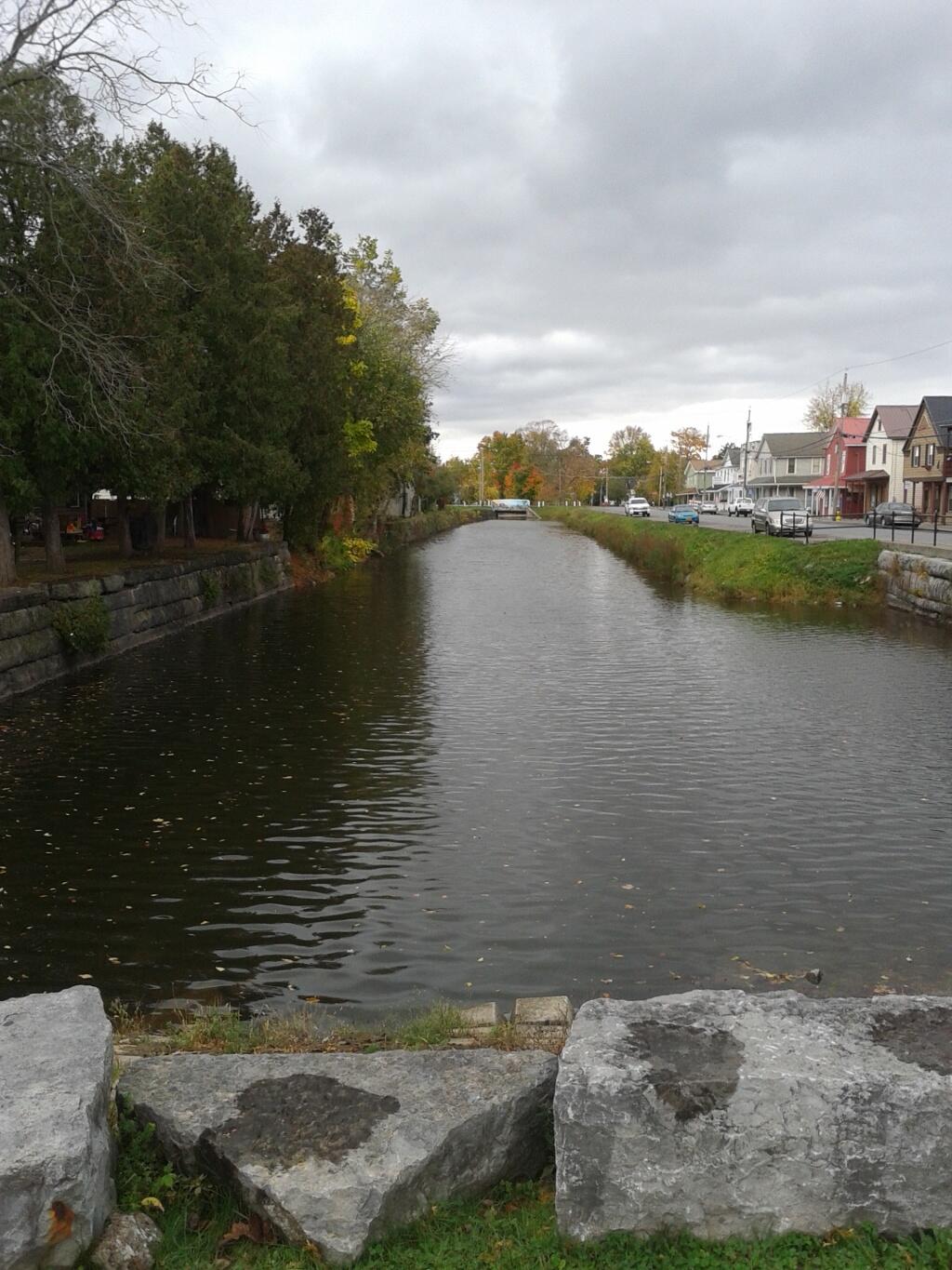
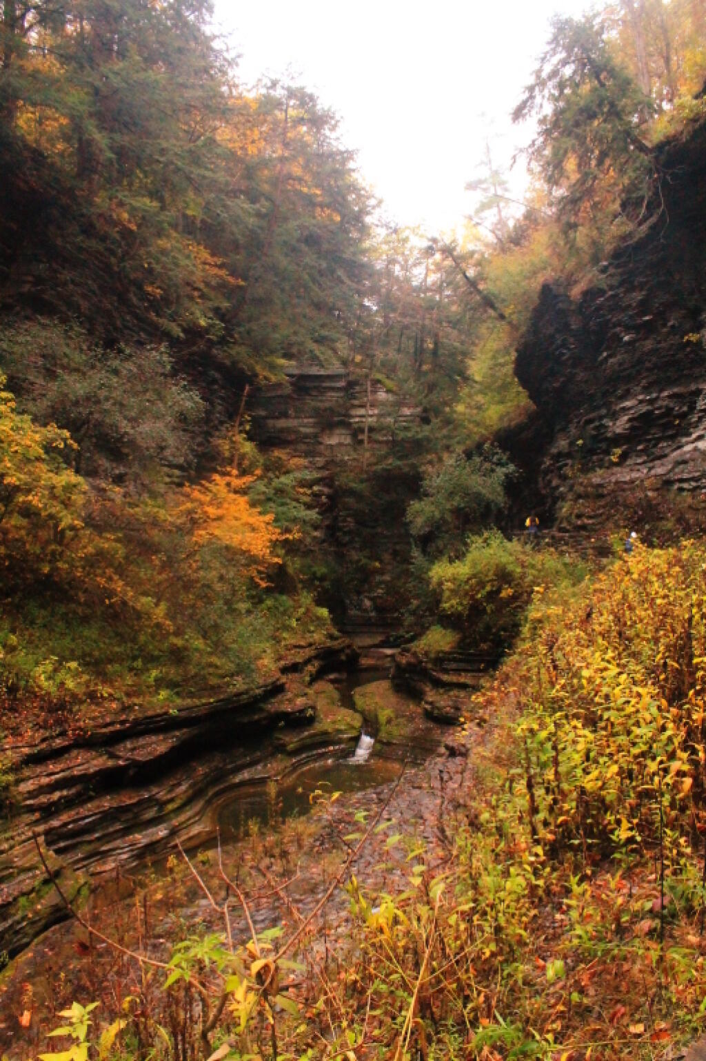
Sunday October 4, 2009 — Kaaterskill Clove — Huckleberry Point Trail 🗺 — Kaaterskill High Peak 🗺 — North-South Lake Campground and Kaaterskill Clove 🗺 — Poets Ledge and Buttermilk, Wildcat, Veola, Falls 🗺 — Poets Ledge Trail 🗺 — Poets Ledge, Buttermilk, Wildcat And Veola Falls 🗺— PDF with All Maps 📚