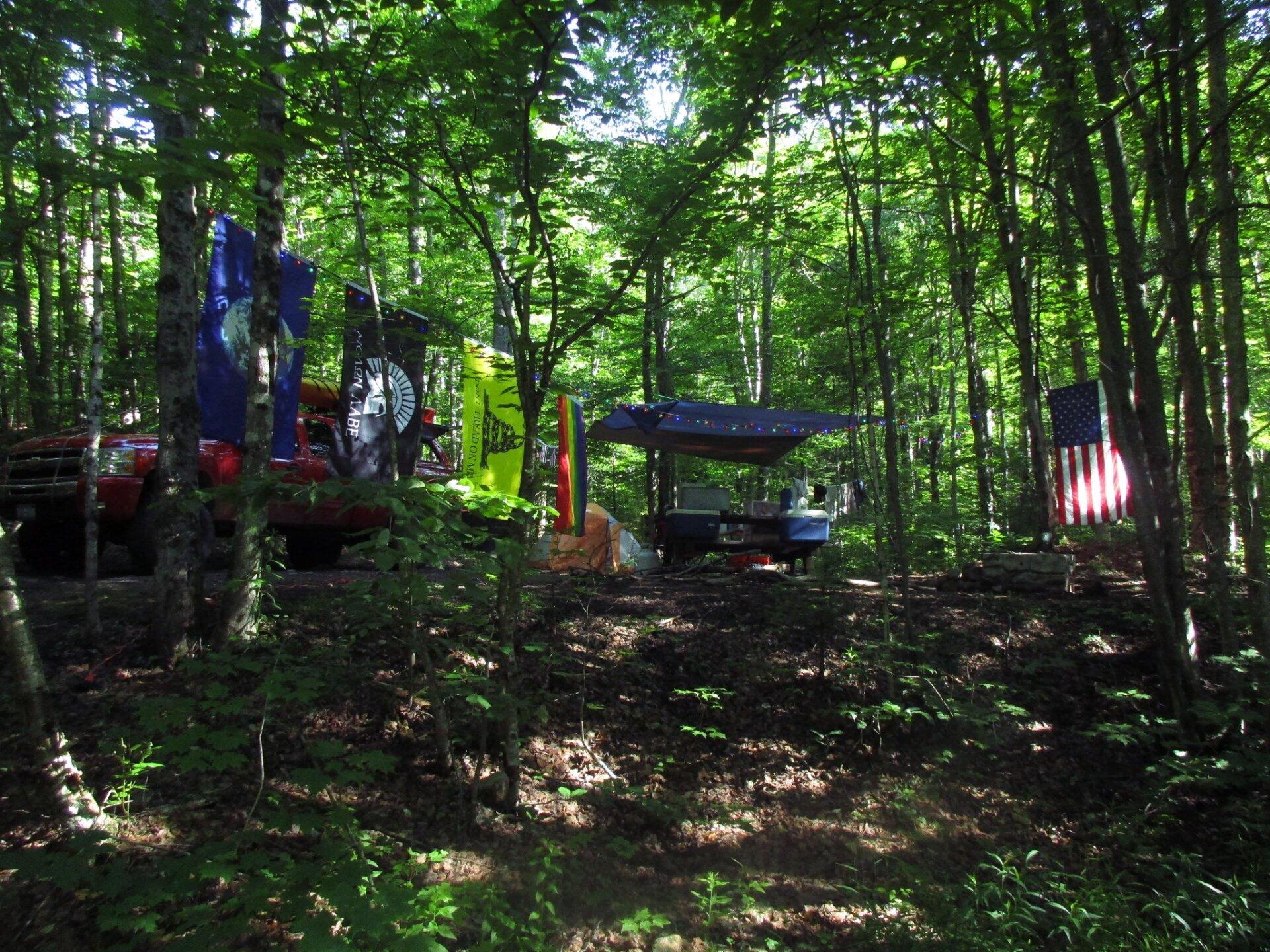
Campsite From The Road 🖼️
Download a High Resolution JPEG Image of the Campsite From The Road or an Adobe Acrobat Printable PDF of the Campsite From The Road.
Campsite From The Road ...
This is the second time I've camped at Moose River Plains Campsite 68. It's not far off the road but well elevationed and about a 1/2 mile in one direction from the nearest campsite, and maybe a mile in the other direction. Nestled between Mount Tom and Mitchell's Pond Mountain the radio reception is non-existent, but it's nice to be away from the news on NPR for a while. At mile point 7 from the Limekiln Lake Entrance, it's not too far from Inlet.
Taken on Tuesday July 4, 2017 at Moose River Plains.

More about Moose River Plains...
Spanning Herkimer and Hamilton Counties, the Moose River Plains Wild Forest offers an array of activities, including camping, hiking, mountain biking, fishing, hunting, and canoeing. Free campsites are accessible from late May to December's end. Winter highlights snowmobiling along the Limekiln Lake-Cedar River Road linking Inlet and Indian Lake. Must-visit spots encompass Cedar River Flow, Moose-spotting at Helldiver Pond, scenic Wakely Mountain with its firetower, as well as numerous smaller ponds and lesser-known trails. This diverse landscape caters to a range of outdoor pursuits, making it a year-round destination for nature enthusiasts and adventurers.
Download the PDF Map Pack with All Maps from Moose River Plains.


 compare to Moose River Plains Camping Area?")


