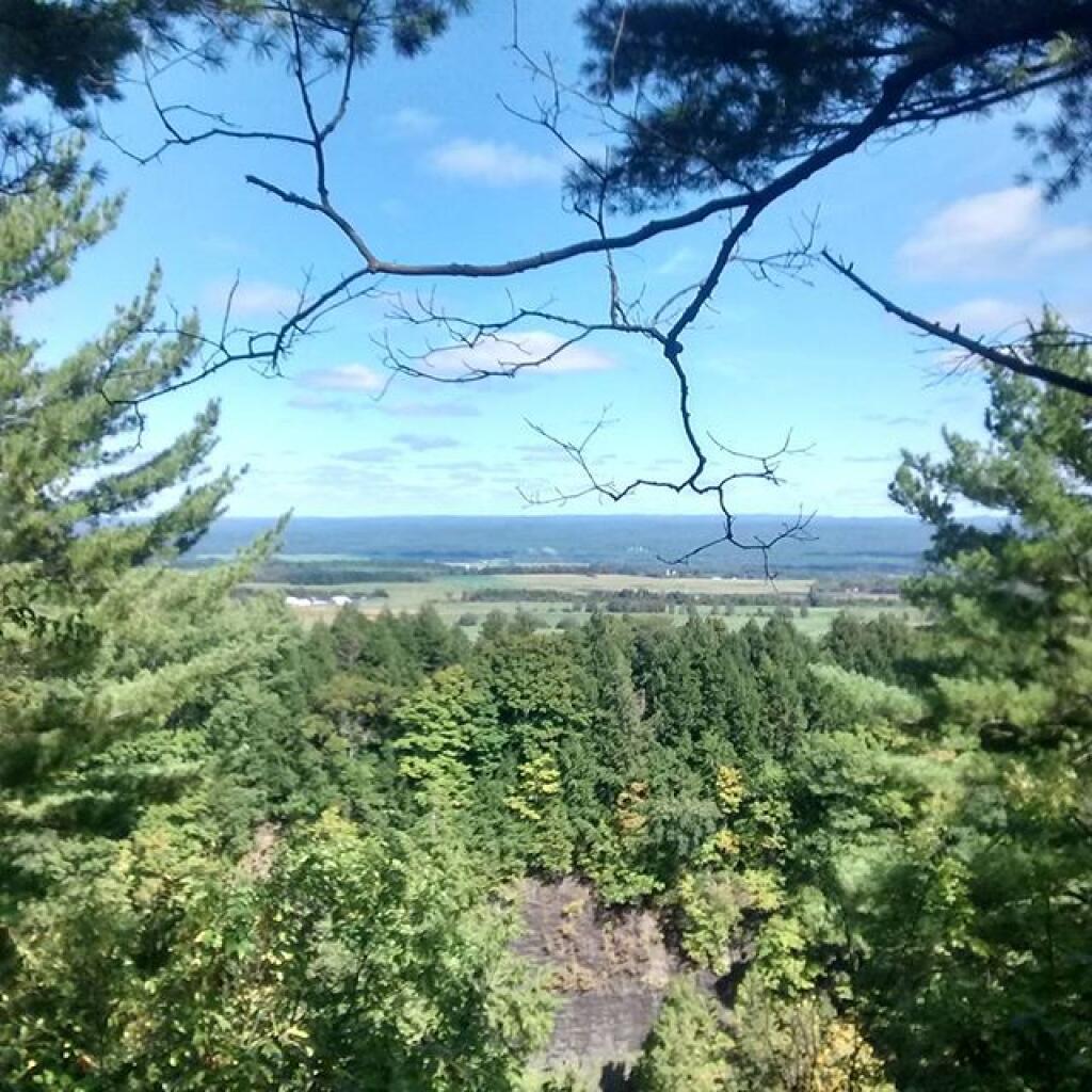
Into The Gorge From Escarpment Trail 🖼️
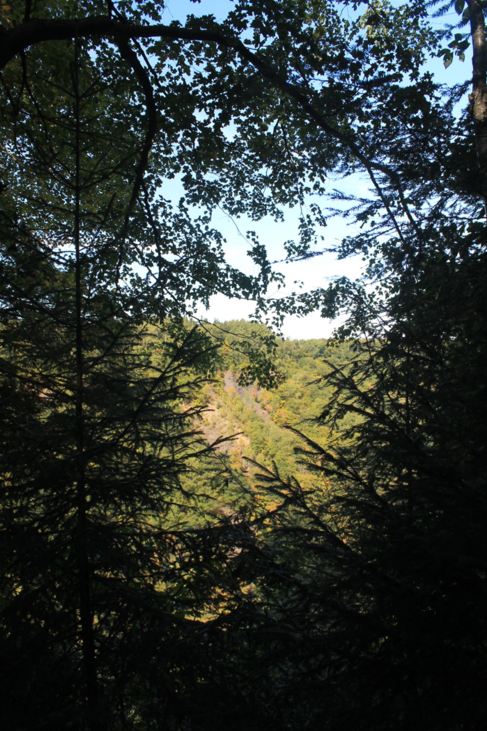
Download a High Resolution JPEG Image of the Into The Gorge From Escarpment Trail or an Adobe Acrobat Printable PDF of the Into The Gorge From Escarpment Trail.
Into The Gorge From Escarpment Trail ...
Taken on Sunday September 20, 2015 at Whetstone Gulf State Park.

More about Whetstone Gulf State Park...
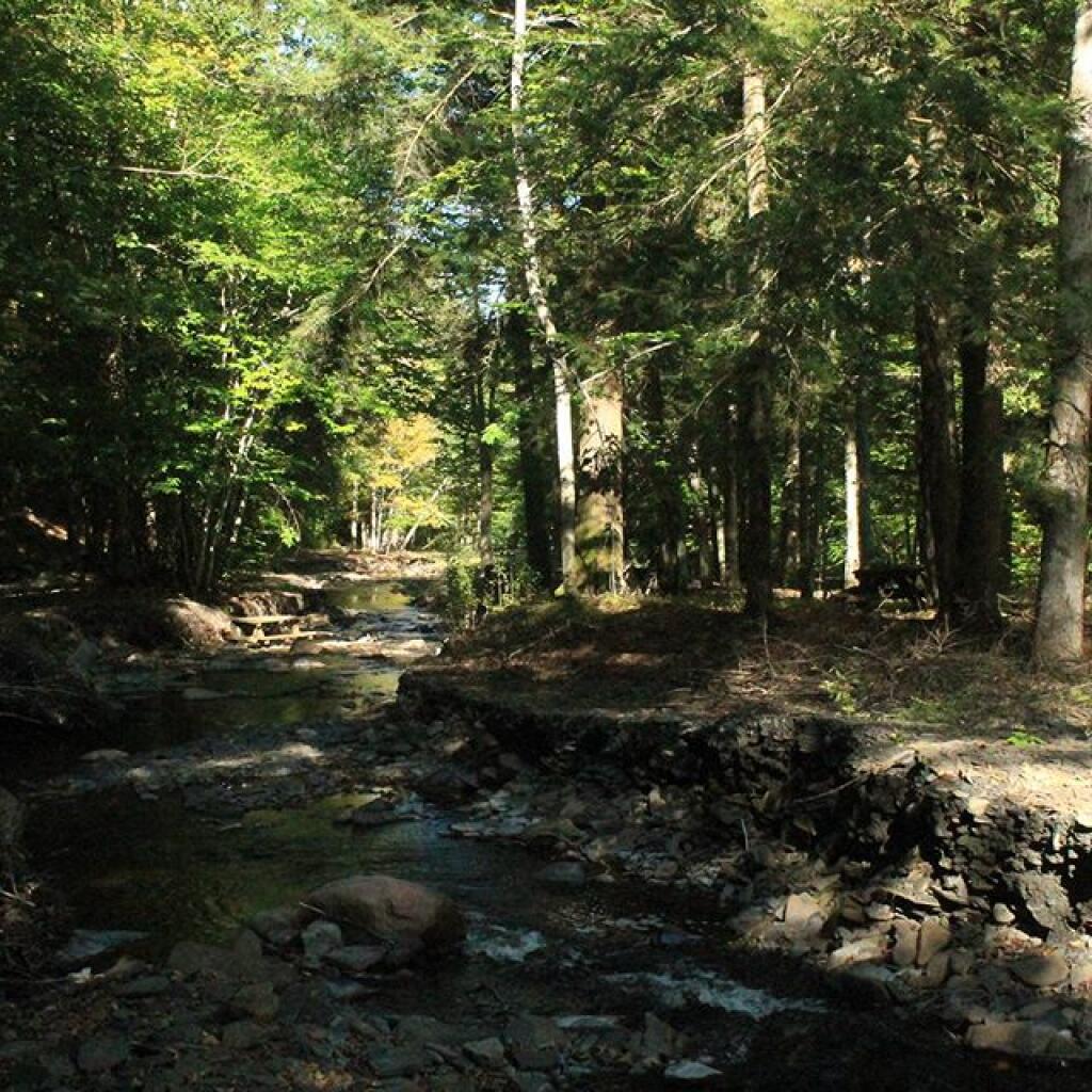
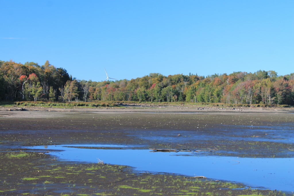
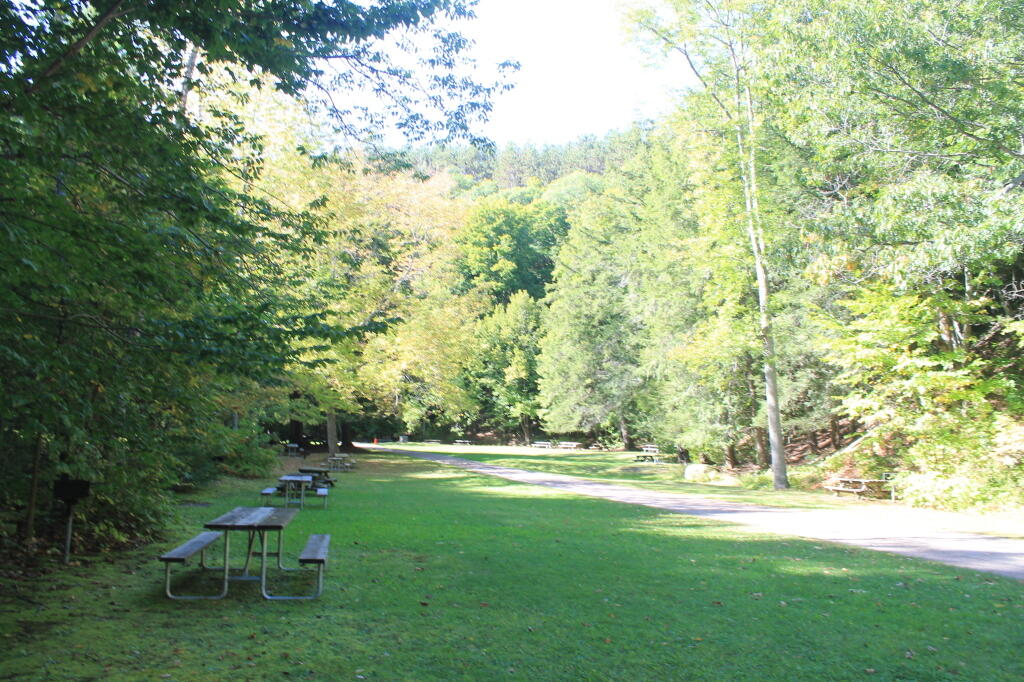
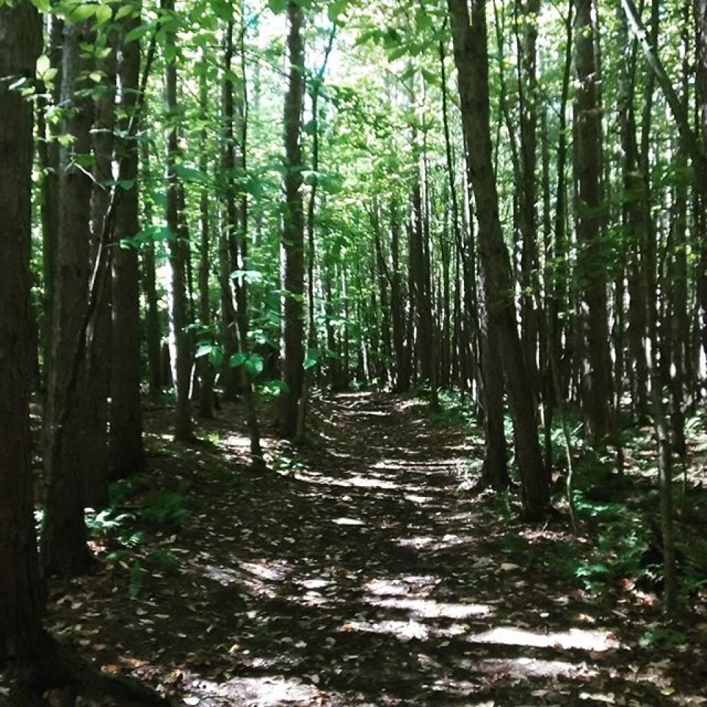
Whetstone Gulf State Park is built in and around a three-mile-long gorge cut into the eastern edge of the Tug Hill Plateau. The gorge is one of the most spectacular scenic vistas east of the Rocky Mountains. The park has 56 wooded campsites- some of which are electric, a scenic picnic area along Whetstone Creek, a man-made swimming area and trails for hiking and cross-country skiing, one of which circles the gorge. Above the gorge is Whetstone Reservoir, stocked with tiger muskie and large-mouth bass for fishermen, and popular for canoeing.
http://nysparks.com/parks/92/details.aspx
Download the PDF Map Pack with All Maps from Whetstone Gulf State Park.