Map: Battery Diagram

More about Moose River Plains...

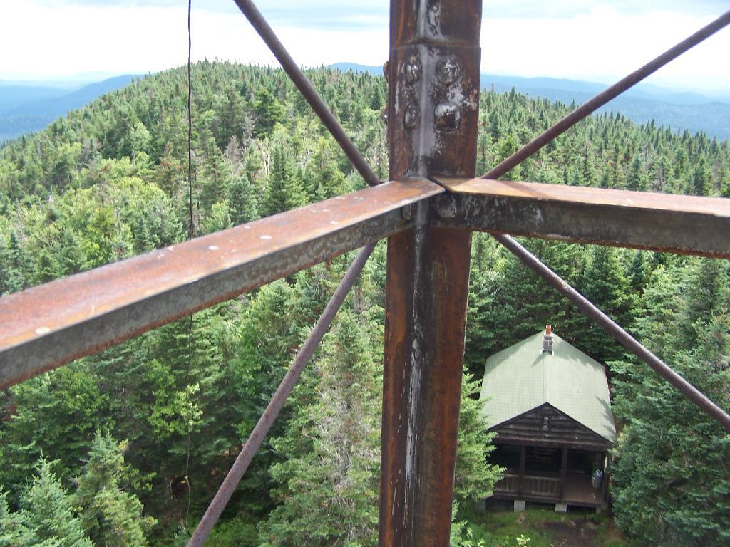
Spanning Herkimer and Hamilton Counties, the Moose River Plains Wild Forest offers an array of activities, including camping, hiking, mountain biking, fishing, hunting, and canoeing. Free campsites are accessible from late May to December's end. Winter highlights snowmobiling along the Limekiln Lake-Cedar River Road linking Inlet and Indian Lake. Must-visit spots encompass Cedar River Flow, Moose-spotting at Helldiver Pond, scenic Wakely Mountain with its firetower, as well as numerous smaller ponds and lesser-known trails. This diverse landscape caters to a range of outdoor pursuits, making it a year-round destination for nature enthusiasts and adventurers.

Download the PDF Map Pack with All Maps from Moose River Plains.

3D Map: The Big
Map: Bear Pond Trail
Map: Beaver Lake
Map: Ice House Pond
Map: Moose River Plains Camping Area 1-30
Map: Moose River Plains Camping Area 123-131
Map: Moose River Plains Camping Area 30-40
Map: Moose River Plains Camping Area 41-61
Map: Moose River Plains Camping Area 64-74
Map: Moose River Plains Camping Area 71-123
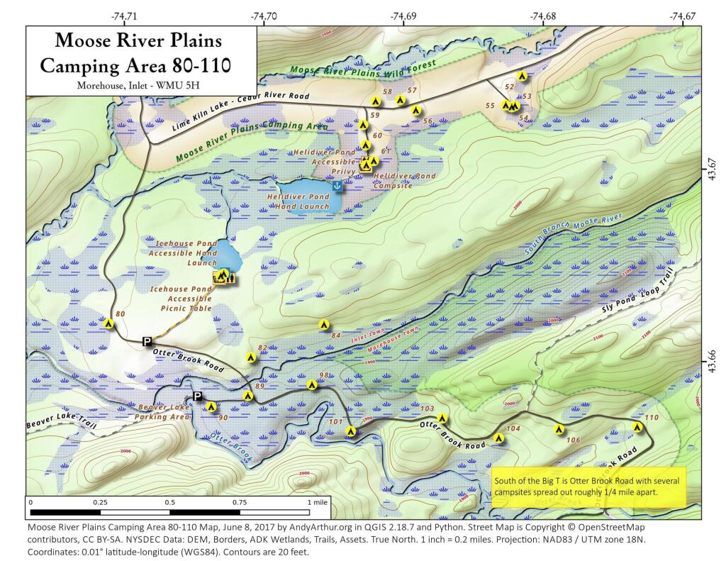
Map: Moose River Plains Camping Area 80-110
Map: Moose River Plains Camping Area 80-111
Map: Moose River Plains Recreation Area
Map: Natural Rock Dam Trail
Terrain Map: How does the area of Manhattan (rotated) compare to Moose River Plains Camping Area?
Terrain Map: Moose River Plains
Terrain Map: Topography Of Moose River Plains
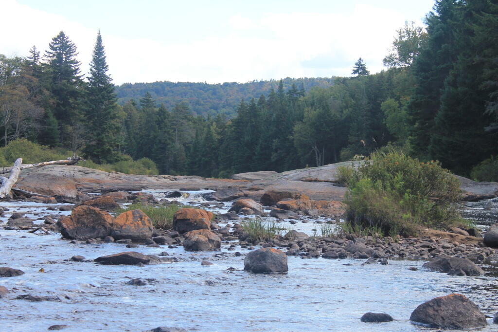
Photo: Otter Creek [Expires July 24 2026]
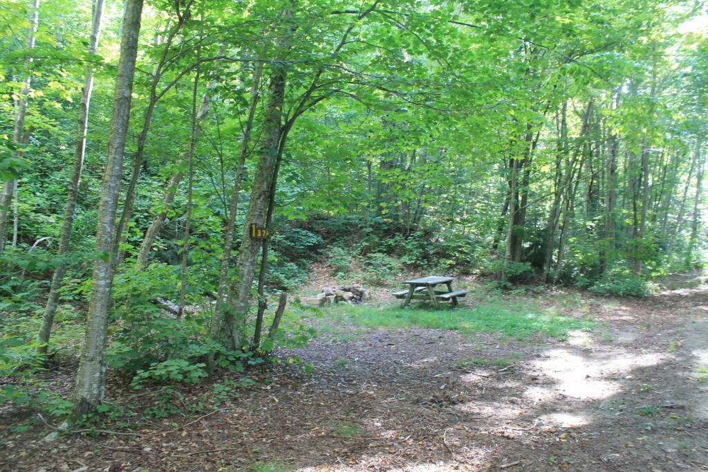
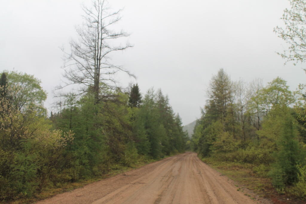
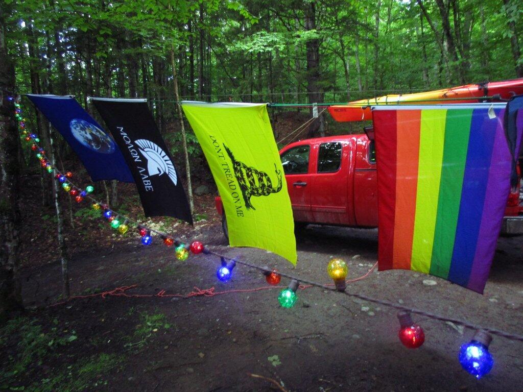
Photo: Camp from the Road
Photo: Back at Camp After Dark
Photo: Sun Rising
Photo: Tracks Along Upper Mitchells Pond Trail
Photo: Upper Campsite on Mitchells Pond [Expires July 27 2026]
Photo: At the Red River [Expires July 27 2026]
Photo: South on Red River
Photo: Finally A Great Day [Expires July 24 2026]
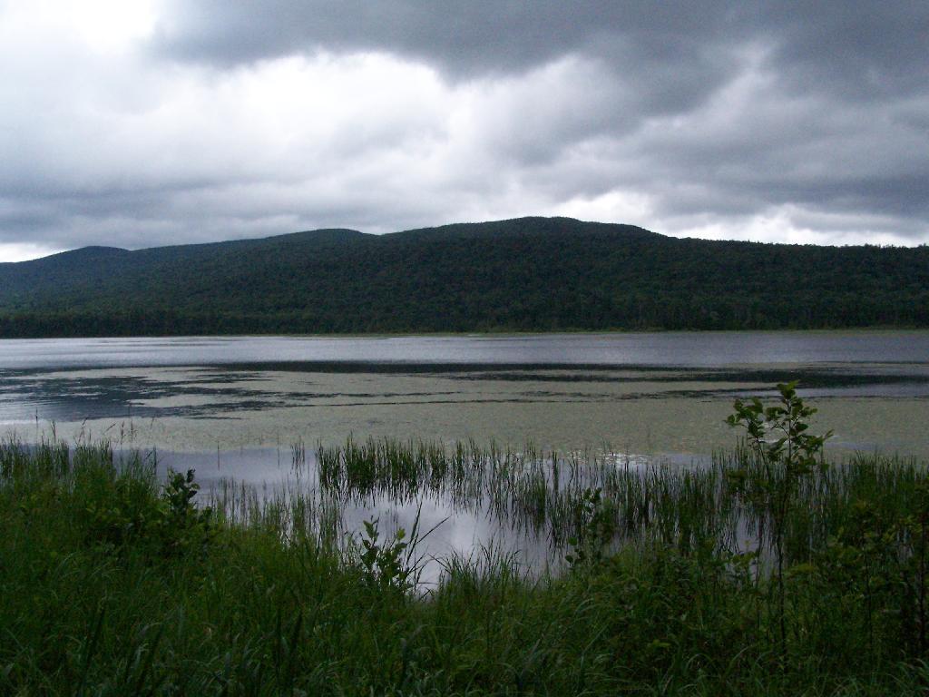
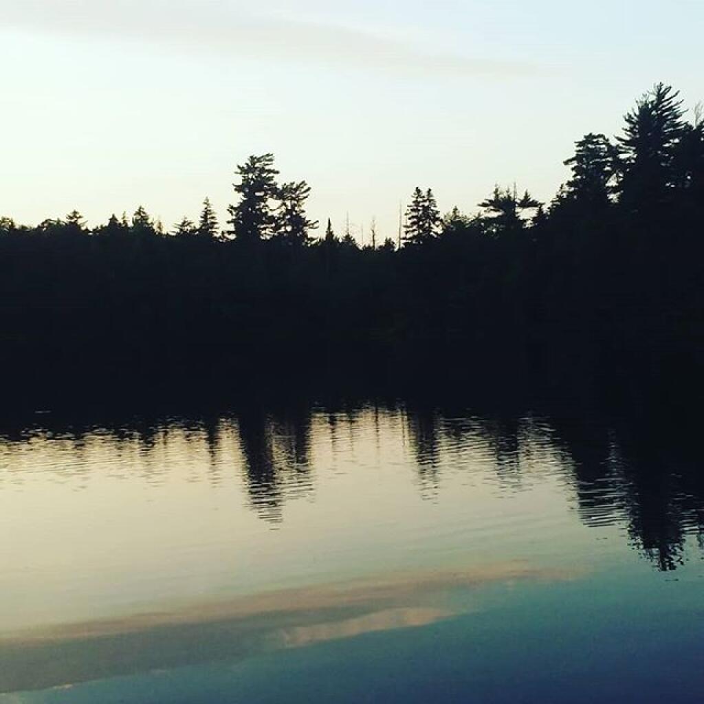
Photo: Shadow Over the Hills

Leave a Reply

Your email address will not be published. Required fields are marked *