Along the Long Path 🖼️

Download a JPEG Image of the Along the Long Path.
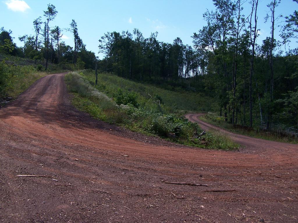
Along the Long Path ...
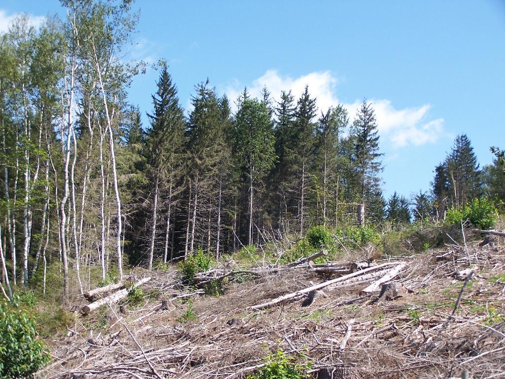
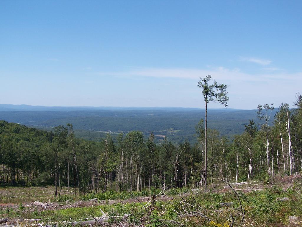
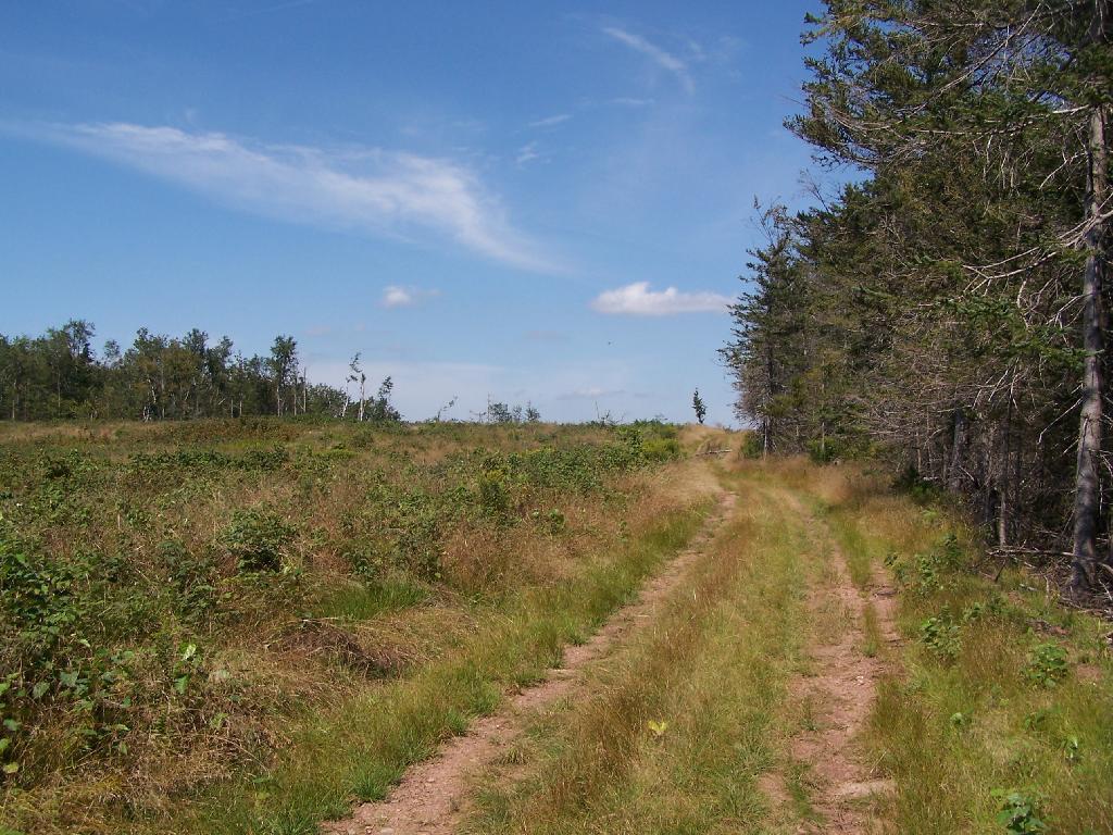
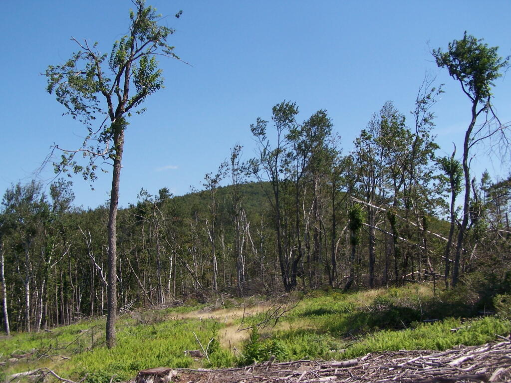
This is up on the ridge of South Mountain, below Ashland Pinnacle. The trail was hard to follow through this section, as a lot of trees that had blazes on them where long fallen, although for a while the trail followed the log haul road.
Taken on Saturday August 28, 2010 at Ashland Pinnacle State Forest.

More about Ashland Pinnacle State Forest...
Ashland Pinnacle is the mountain next to Huntersfield Mountain in the northern most range of the Catskill Mountains. It is outside of Catskill Forest Preserve blue line, and as such much of it has been recently logged, offering good views of the Northern Catskill Mountains, accessible mostly by vehicle. It is 3,038 feet on its summit, with a truck trail crossing it col. Also, the Long Path crosses along most of the mountain ridge.