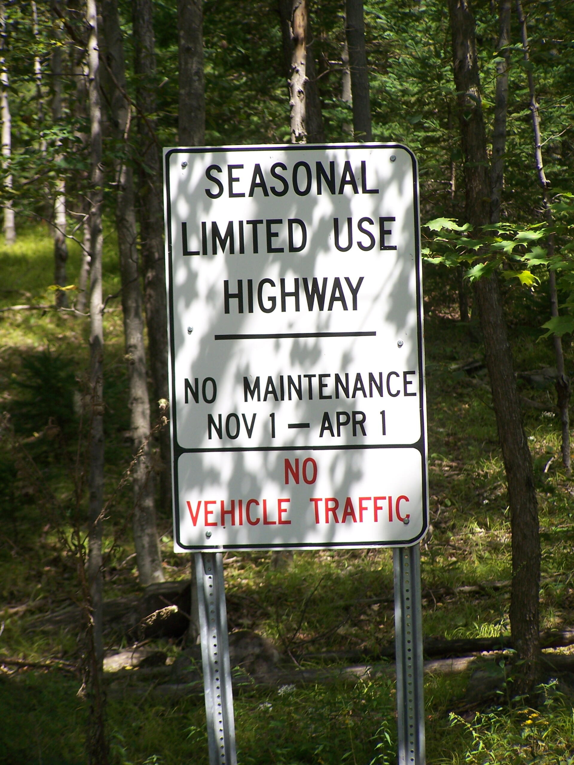
Limited Use Highway 🖼️
Download a High Resolution JPEG Image of the Limited Use Highway or an Adobe Acrobat Printable PDF of the Limited Use Highway.
Limited Use Highway ...
This sign is seen driving up County Route 23A when it becomes the DEC Truck Trail over South Mountain. It's only recent that the state has allowed seasonal use highways to be closed on November 1st, but I'm sure from the sign they want to make it clear that people should not be driving up this steep road when its covered with ice or snow.
Taken on Saturday August 28, 2010 at Ashland Pinnacle State Forest.

More about Ashland Pinnacle State Forest...
Ashland Pinnacle is the mountain next to Huntersfield Mountain in the northern most range of the Catskill Mountains. It is outside of Catskill Forest Preserve blue line, and as such much of it has been recently logged, offering good views of the Northern Catskill Mountains, accessible mostly by vehicle. It is 3,038 feet on its summit, with a truck trail crossing it col. Also, the Long Path crosses along most of the mountain ridge.


