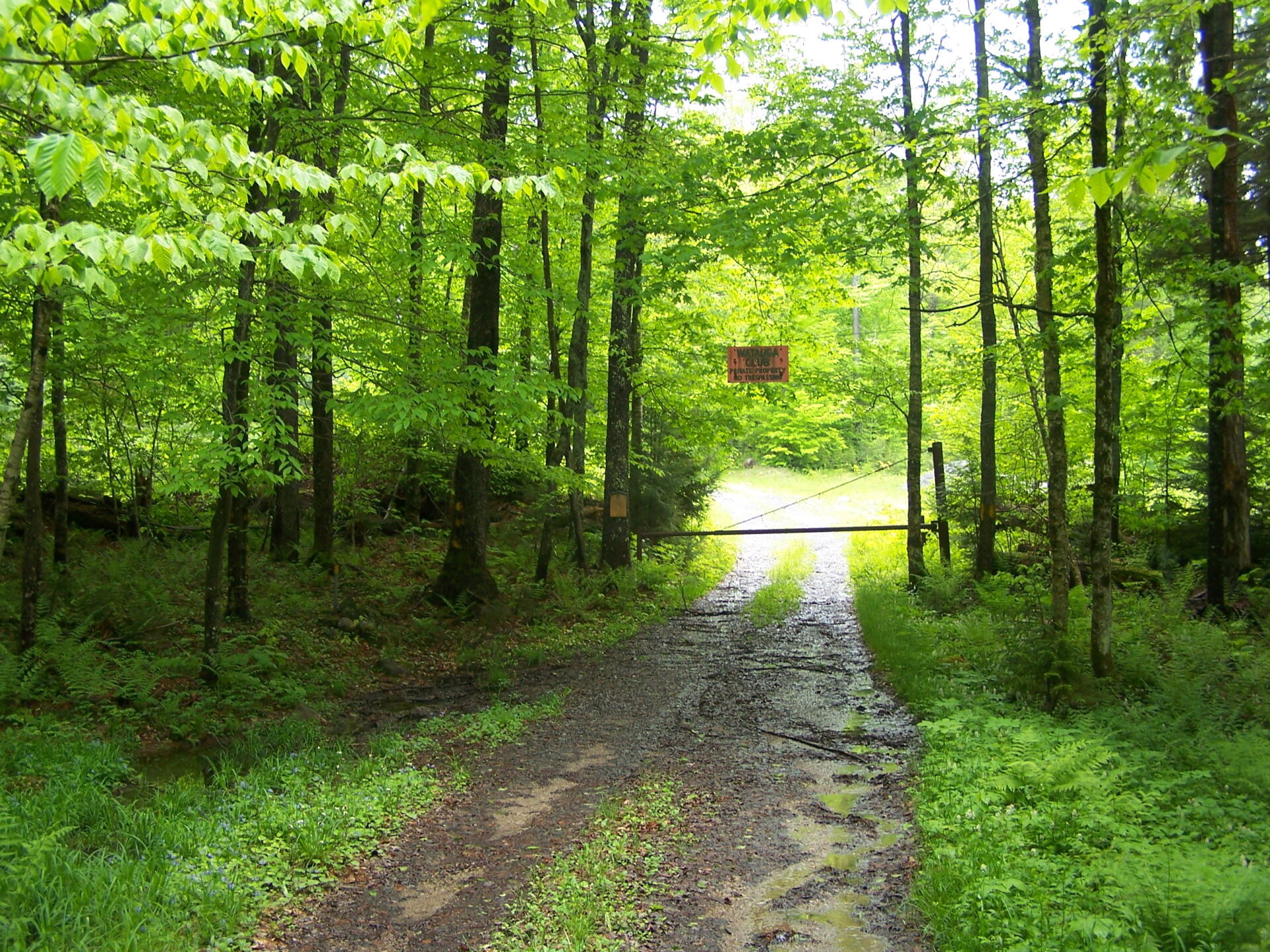
Watagh Club Sign 🖼️
Download a High Resolution JPEG Image of the Watagh Club Sign or an Adobe Acrobat Printable PDF of the Watagh Club Sign.
Watagh Club Sign ...
This where Ferris Lake Road ends, at least the public portion. Theoretically one can bushwhack around the edge of the property, and eventually get to Ferris Lake, but this time of year it would be a challenge, as there is no formal trail that goes to Ferris Lake.
Taken on Saturday May 28, 2011 at Piseco-Powley Road.

More about Piseco-Powley Road...
The 17-mile Piseco-Powley Road is a remote dirt route cutting through the Adirondack's Ferris Lake Wild Forest. It features 22 primitive roadside campsites, including four spots at Powley Place where the road crosses the West Branch of the East Canada Creek.
Download the PDF Map Pack with All Maps from Piseco-Powley Road.


")


![Photo: Powley Place [Expires July 22 2026]](/data/photo_24893_small.jpg "Photo: Powley Place [Expires July 22 2026]")


