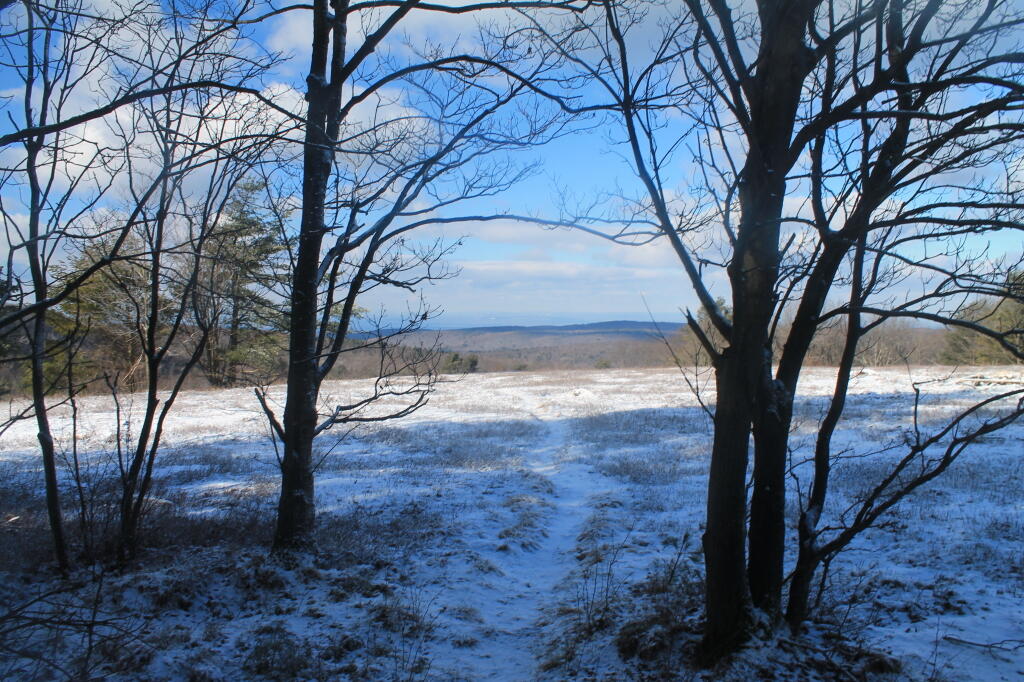
Rocks Peaking Out of Snow 🖼️
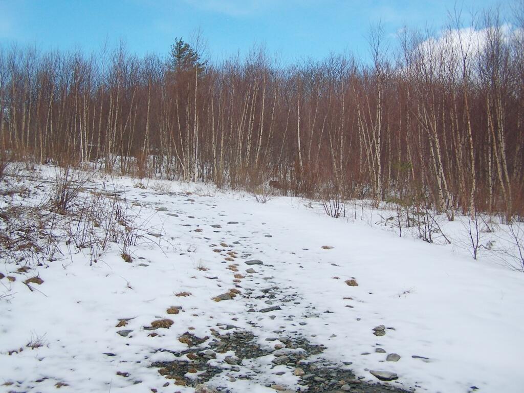
Download a JPEG Image of the Rocks Peaking Out of Snow.
Rocks Peaking Out of Snow ...
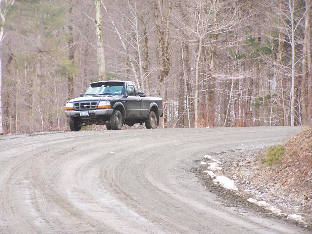
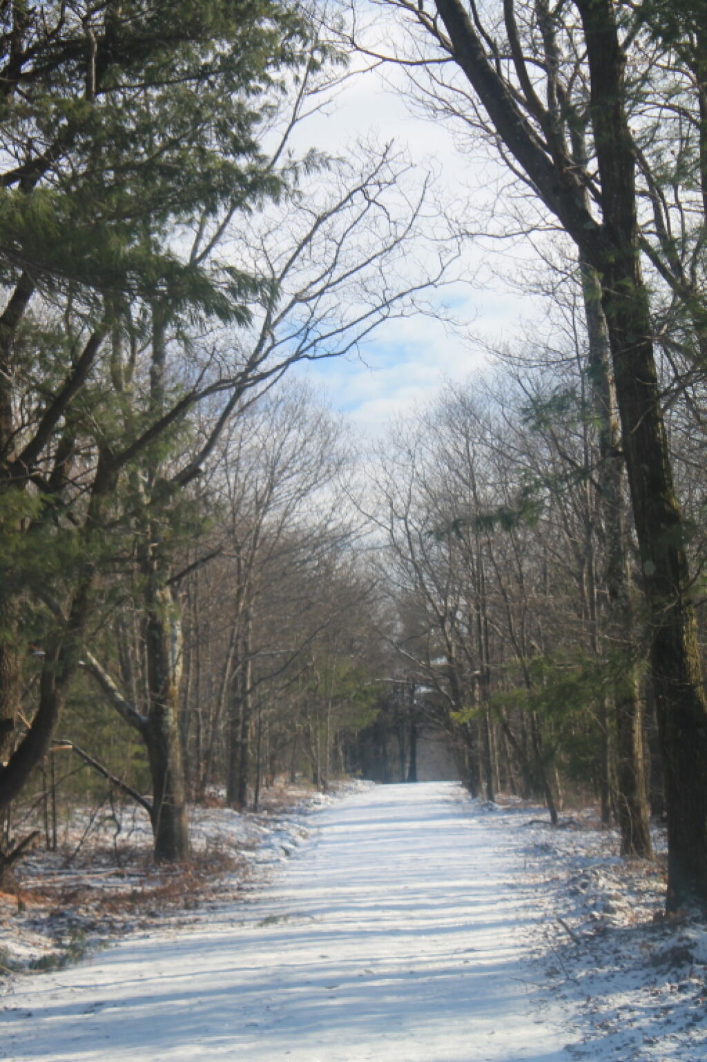
The truck trail had some of the snow melting off it. The rocks up are pretty sharp to say the least.
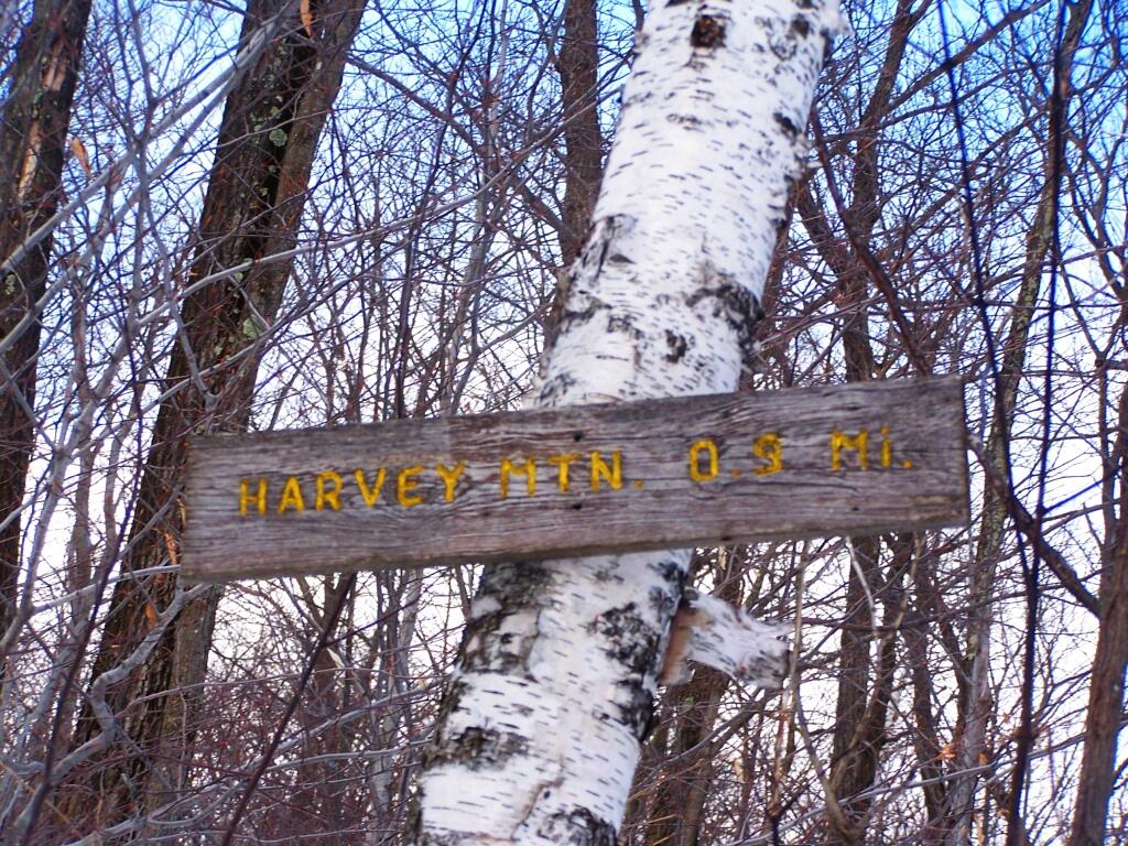
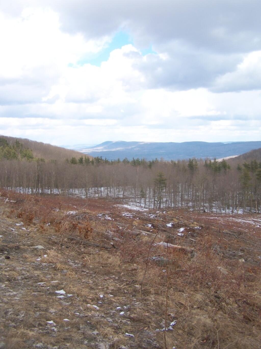
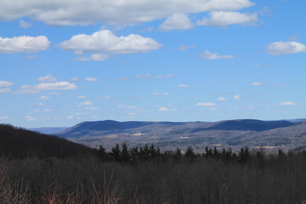
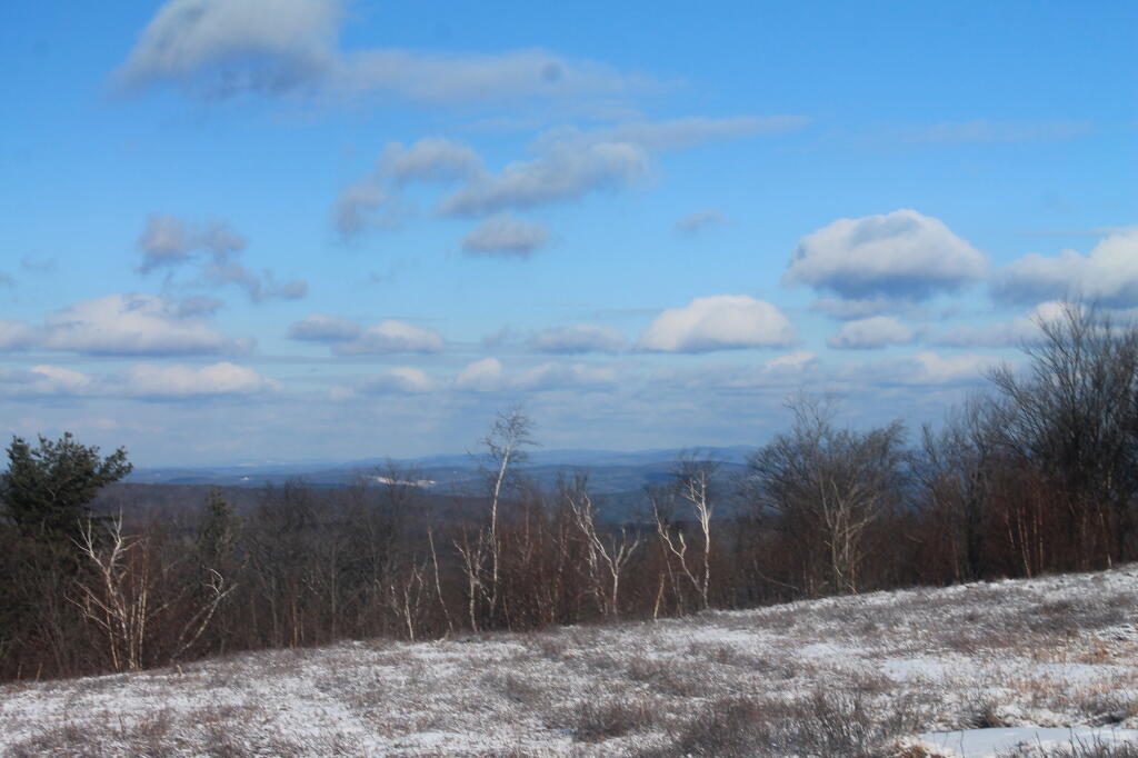
Taken on Saturday April 2, 2011 at Harvey Mountain State Forest.

More about Harvey Mountain State Forest...
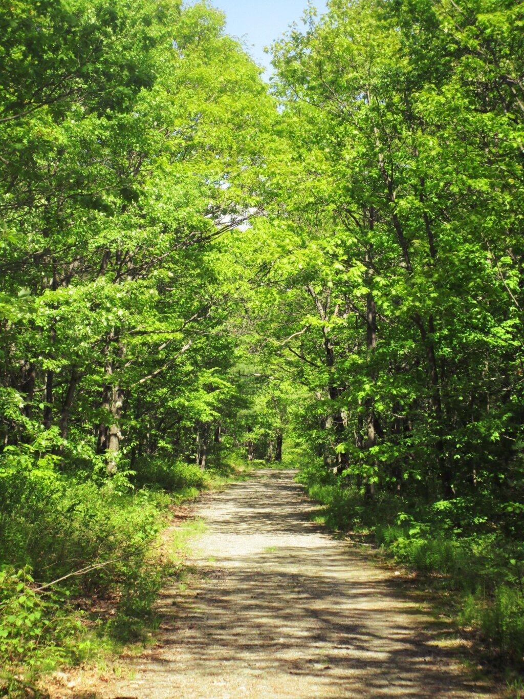
Harvey Mountain State Forest are managed for multiple uses, including timber production, watershed protection, wildlife habitat and recreation. Recreational opportunities include hiking, biking, picnicking, horseback riding (except on foot trails and snowmobile/ski trails when snow covered), camping, snowmobiling, cross-country skiing, hunting, fishing, trapping, wildlife observation and photography.
Harvey Mountain State Forest also has a lean-to along the trail, as well as a large, unique blueberry patch at the summit of the mountain.
http://www.dec.ny.gov/lands/66460.html