Cedar River Flow, July 21
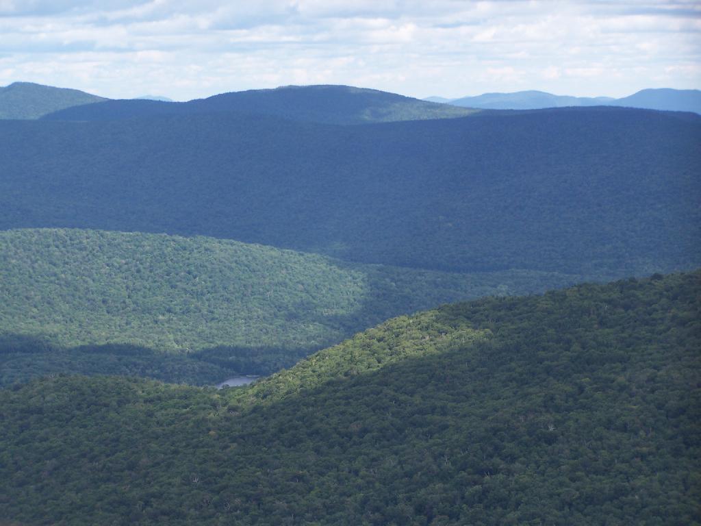
The Cedar River Flow at Moose River Plains has 10 roadside campsites along with an Assembly-area. It is popular for kayaking, camping, and exploring nearby mountains and trails such as Wakely Mountain. There are also about 20 campsites that you can paddle in along the lake, and over 150 campsites located up in Moose River Plains, a 30-60 minute drive up a rough dirt road from here.
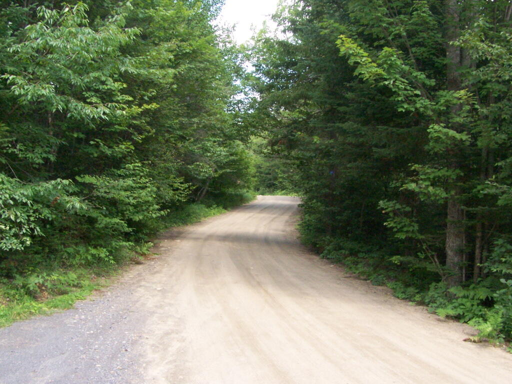
You enter via Cedar River Road.
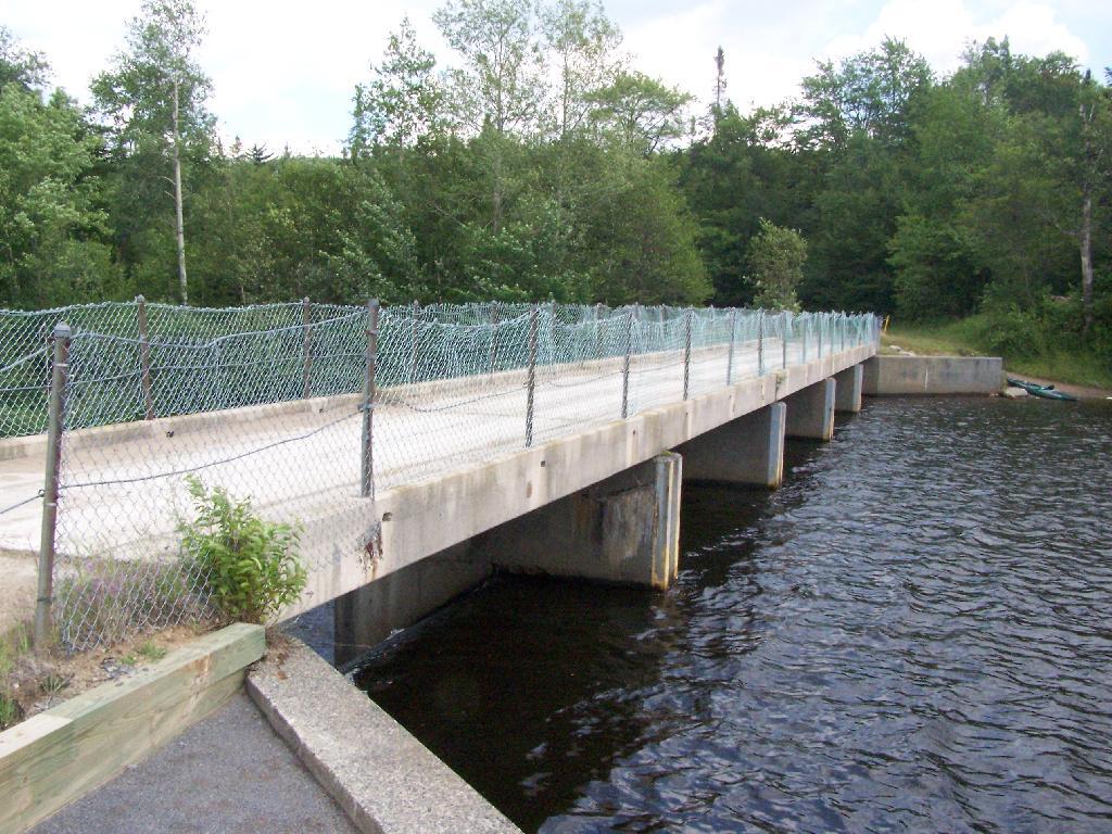
Half of the campsites at Cedar River Flow are located across the Wakley Dam.
Wakley Dam Bridge. It looks fairly secure. Heck, people drag their big fifth-wheel RVs across this bridge all the time, so it has to be pretty sturdy.
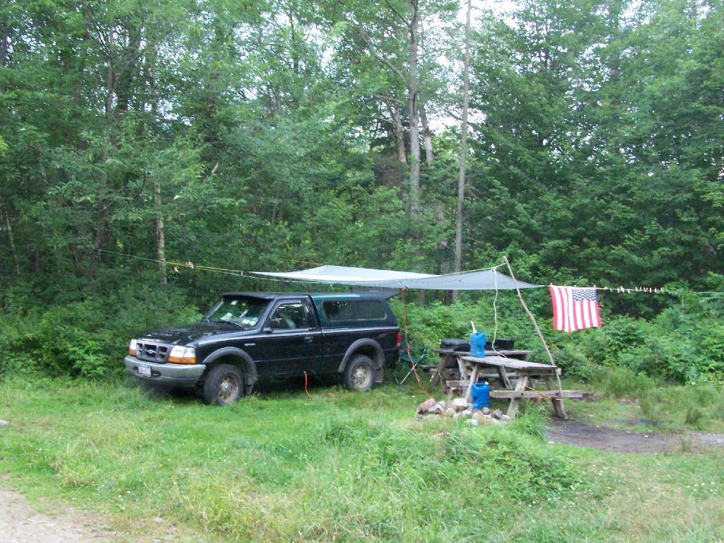
I camped out at Campsite No 9.
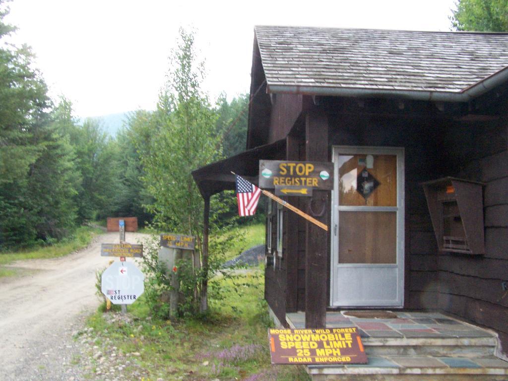
At Cedar River Flow is the Entrance to Moose River Plains, where you have to register your vehicle in case you get lost or your car or truck is otherwise found abandoned.
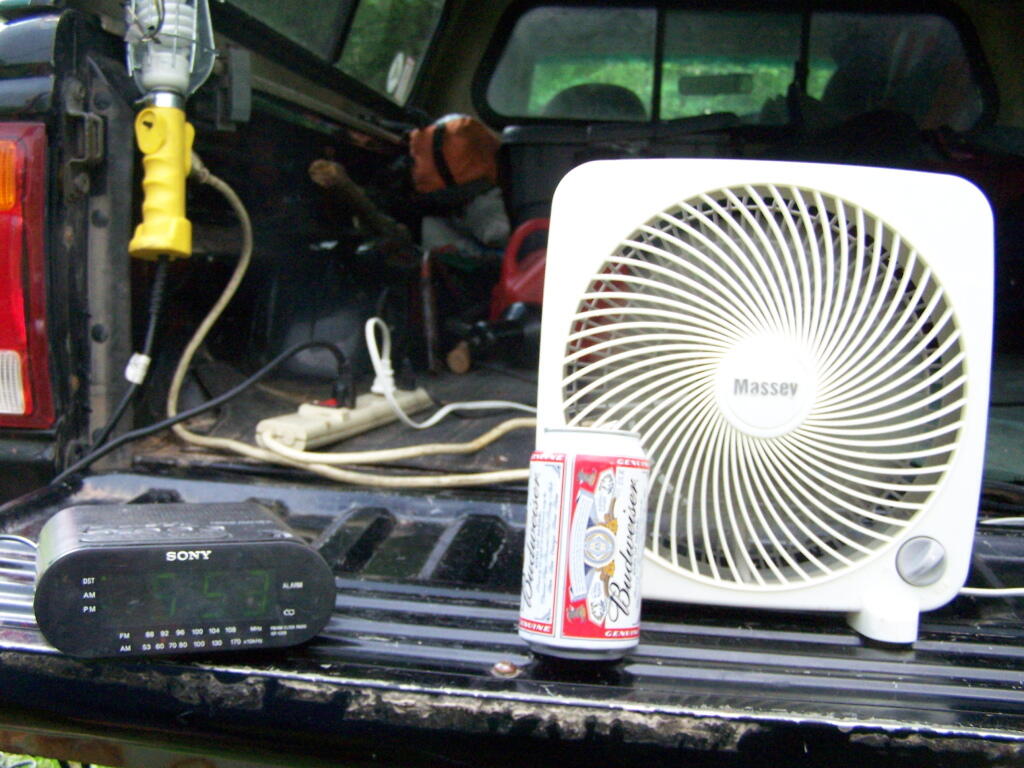
Sitting back and having a beer at Moose River Plains in the afternoon.
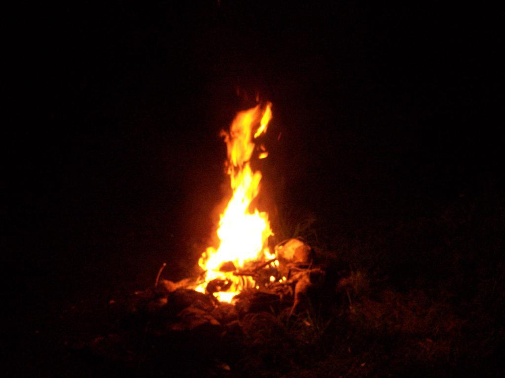
A big ass Campfire. Sigh!
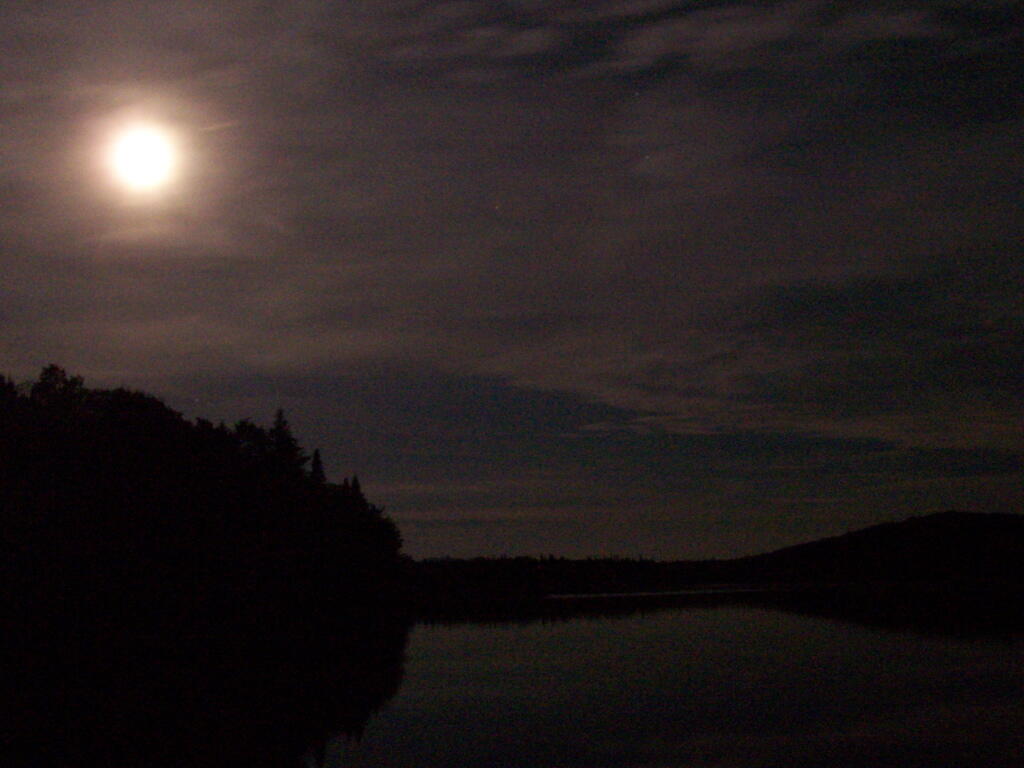
One of the neat things is walking out on Wakely dam at night and looking up at the stars. Here is moonlight on Cedar River Flow.
Here is a map of the Cedar River Flow. The camping area is located on the Northern End by the dam.


 compare to Moose River Plains Camping Area?")


