Wadhams – Boquet River 🗺️
About Wadhams - Boquet River ....
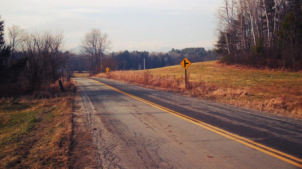
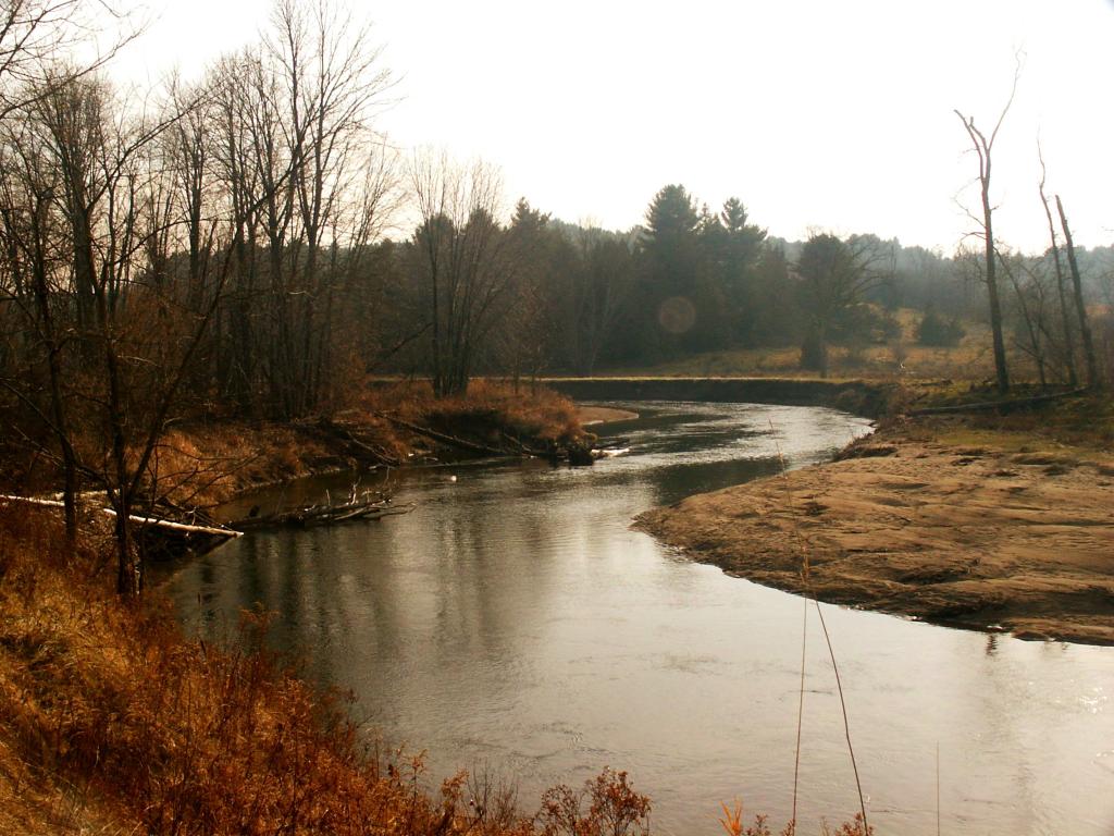
Wadhams and the Boquet River in the Adirondacks showcase a unique blend of natural beauty and agricultural heritage. The area's fertile soil and gentle slopes have made it an ideal spot for farming, with many family-owned farms still operating today. The landscape is distinct from other parts of the Adirondacks, with rolling hills, pastures, and fields dominating the scenery. The Boquet River winds its way through the valley, providing a serene backdrop for scenic drives and walks. Unlike the High Peaks' rugged terrain or the vast forests of the western Adirondacks, the Wadhams area's charm lies in its picturesque farmland and tranquil river valley. This region's rich agricultural history and natural beauty make it a charming destination for those looking to experience the Adirondacks' softer side. Its scenic vistas and historic farms evoke a sense of rural tranquility.

Helpful Hint: While I suggest you look on blog for a downloadable PDF Map, you should be able to print or save this map by clicking the print button on the map above.
Data Sources
Road Trip to Coal Country by Nate Matthews - You can download the KMZ File used in creation of this map.
NY Aerial (2020) - High-resolution aerial photography from NYSGIS, photos taken with leaves off in spring time between the years 2016-2020. NYSGIS. WMS Service: https://orthos.its.ny.gov/ArcGIS/services/wms/Latest/MapServer/WMSServer, Layer: 0,1,2,3
3DEP Elevation Hillshade. LIDAR and legacy USGS DRG Topo Derived hillshades used as a background. DEM - WMS Service: https://elevation.nationalmap.gov/arcgis/services/3DEPElevation/ImageServer/WMSServer, Layer: 3DEPElevation:Hillshade Gray
Full List of WMS and ArcMap Services - CSV Spreadsheet with all web map services currently used on the blog.
More about Essex County...
Essex County is a county located in the U.S. state of New York. As of the 2010 census, the population was 39,370. Its county seat is Elizabethtown. Along with Hamilton County, Essex is entirely within the Adirondack Park.
Essex County is in the northeastern part of New York State, just west of Vermont along the eastern boundary of the State. The eastern boundary of Essex County is Lake Champlain, which serves as the New York – Vermont border at an elevation of just under 100 feet (30.5 m). The highest natural point in New York, Mount Marcy at 5,344 feet (1,629 m), is in the Town of Keene. The Ausable River forms a partial northern boundary for the county.
http://en.wikipedia.org/wiki/Essex_County,_NY