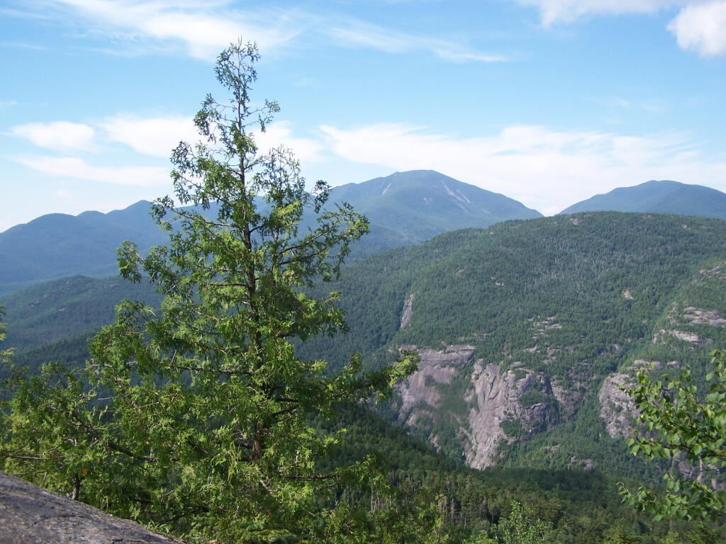
Towards Algonquin Peak

The trail runs along here.
Sunday July 11, 2010 — Giant Mountain — Giant Mountain 🗺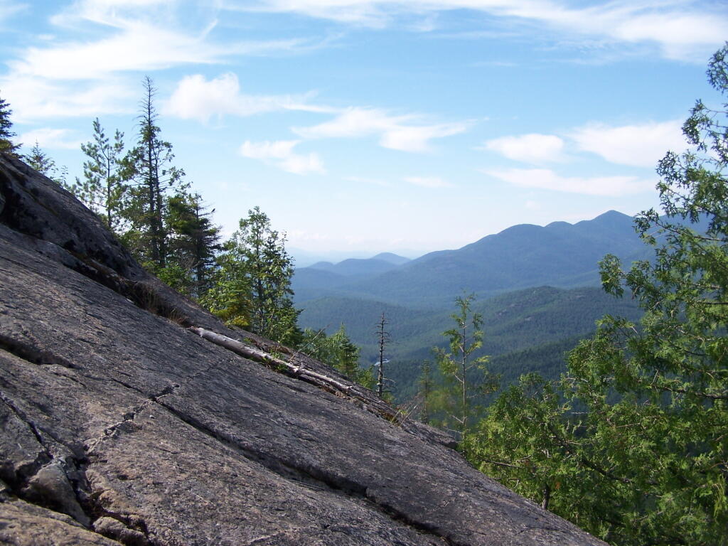

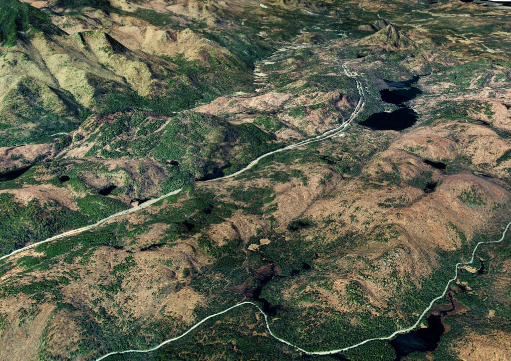
The Adirondack Northway, and how it runs through Four Mile Meadow outside of Lincoln Pond in the Northeastern Adirondacks outside of Elizabethtown.