Snow Has Stopped

I am experimenting with a new map type that allows you to display each year aerial photography is available for a site. Usually New York photographs all of state every 3-4 years, so some years will have no photography.

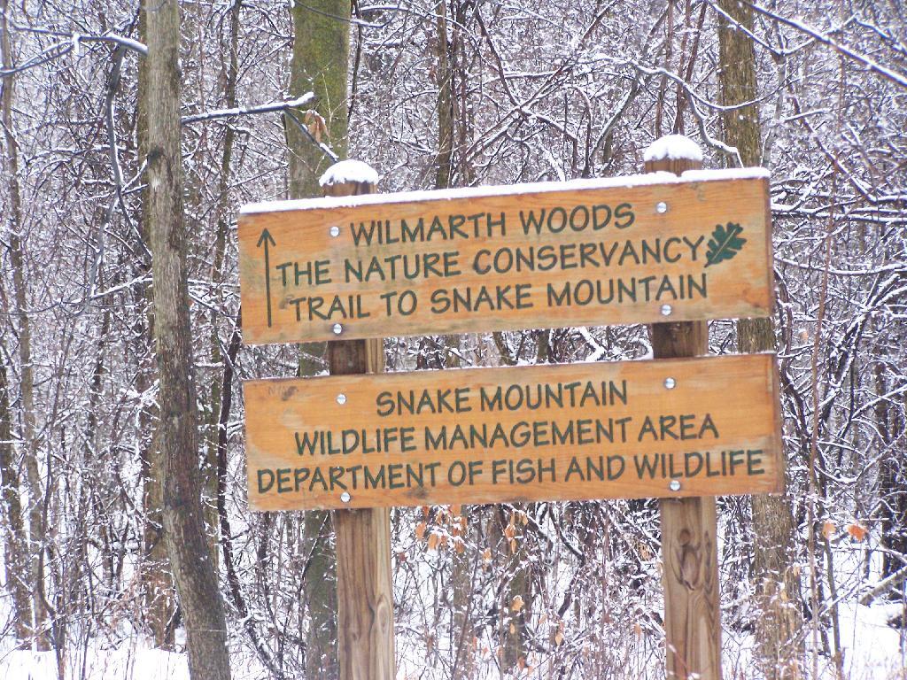
You see this after following an abandoned and gated off old woods road from the Wilmarth Road, about 1000 feet.
Monday December 28, 2009 — Snake Mountain