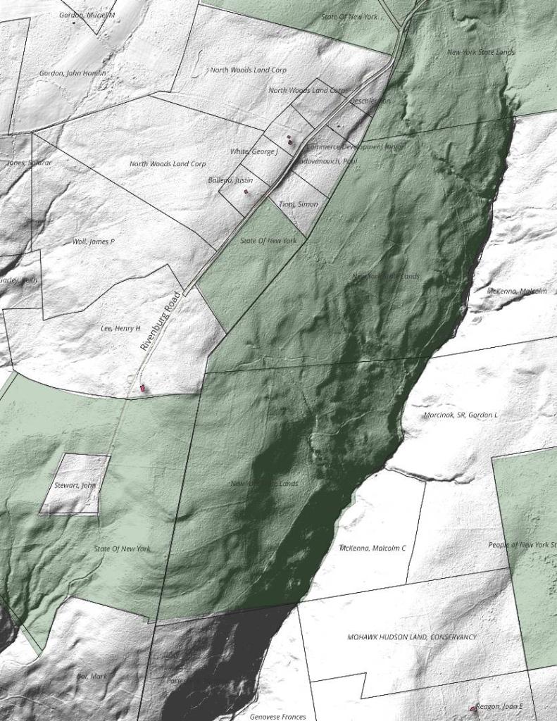
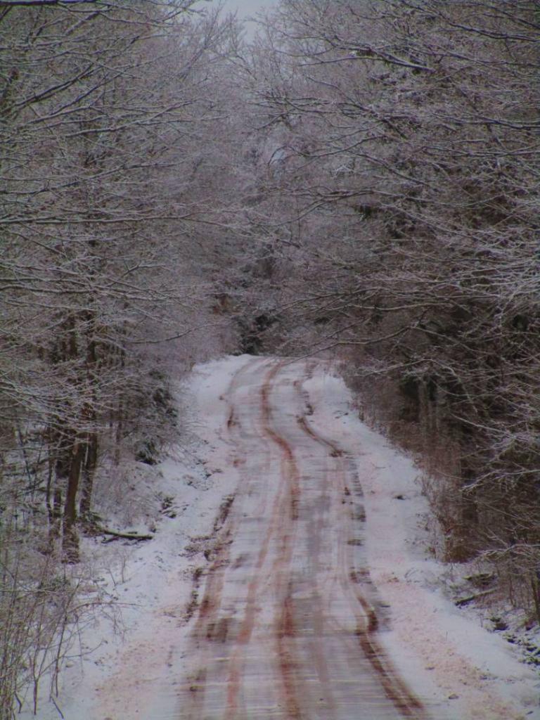
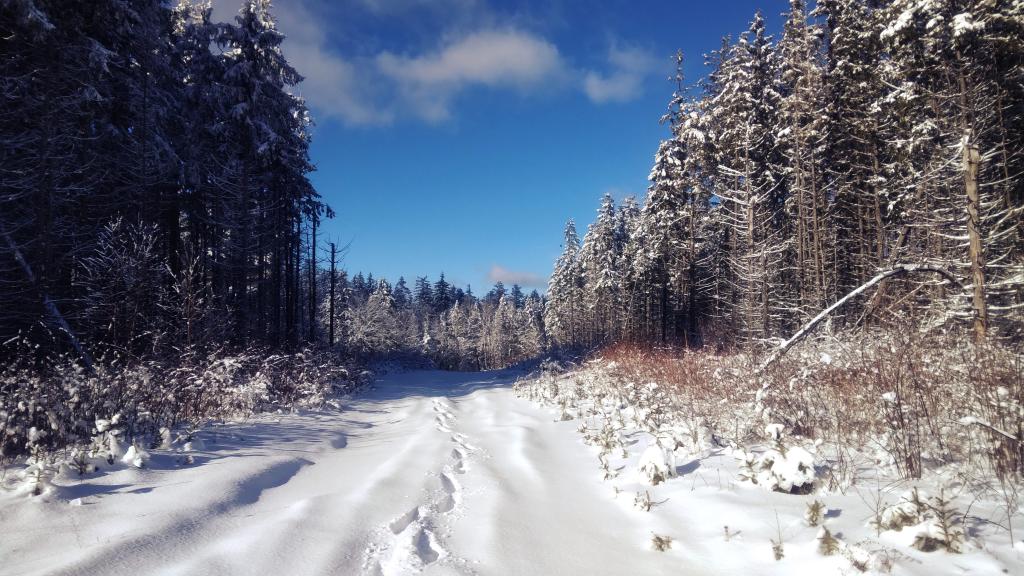
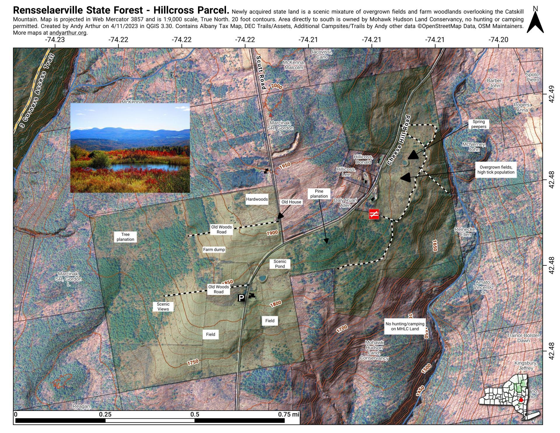
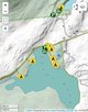
Rensselaerville State Forest – Hillcross Parcel – Ortho
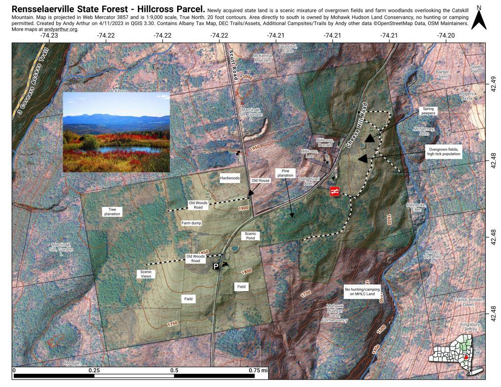
Download a High Resolution JPEG Image of the Rensselaerville State Forest - Hillcross Parcel - Ortho or an Adobe Acrobat Printable PDF of the Rensselaerville State Forest - Hillcross Parcel - Ortho.

Bookmark my free Interactive GPS Map for your phone:
https://andyarthur.org/ny
... shows your location as a blue dot in relationship to campsites, trails, state land. This online map requires cell service, won't work in remote country, so also bring a paper map.
Free Download of New & Historical USGS 1:24k Topograpic Maps
Interactive maps with backcountry and roadside camping: New York, Pennsylvania, West Virginia & Vermont. List of NYS DEC Lean-Tos and Firetowers.
Google Spreadsheet with Roadside, Primitive and Pay Campsites
More about Rensselearville State Forest...
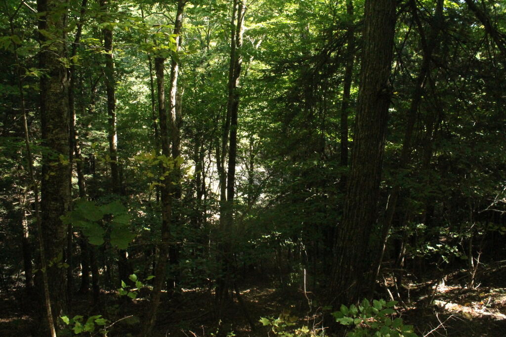
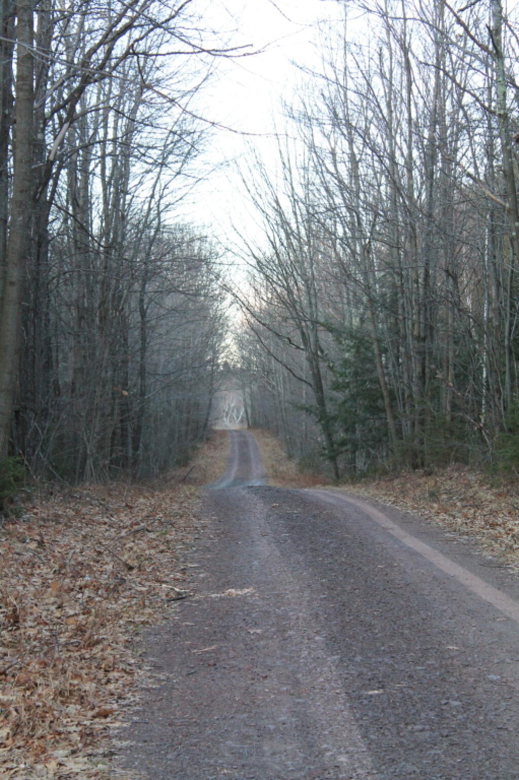
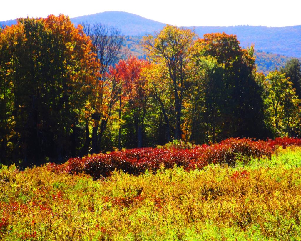
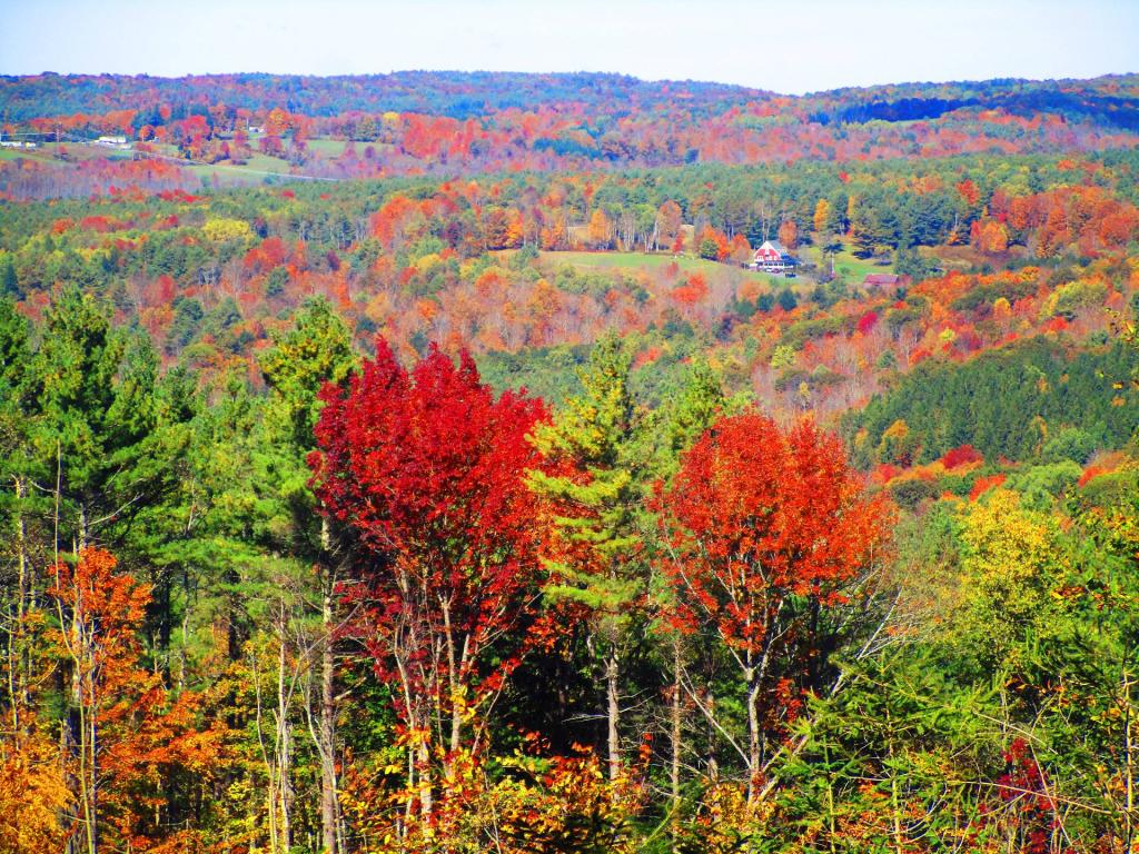
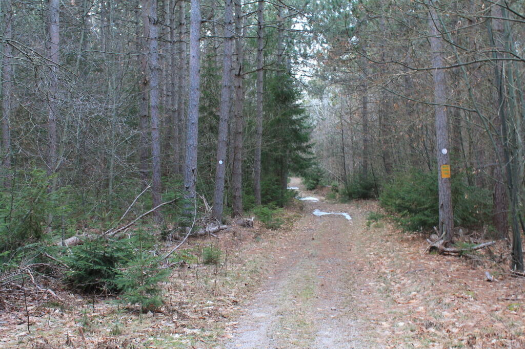
A well-kept secret in the western part of Rensselaerville. Minimal signage, best approached on Cheese Hill Road from County Route 358 or State Route 145 (Preston Hollow), or from Gulf Road off County Route 353. The area has several hilly, narrow seasonal roads--not for the faint of heart. The multi-use trails aren't blazed but are indicated by "Motor Vehicle Trail" signs. Recreation in this beautiful forest includes hunting, trapping, fishing, hiking, cross-country skiing, snowmobiling, mountain biking, nature observation, and birdwatching.
http://www.hilltowns.org/rensselaerville-state-forest.html
Download the PDF Map Pack with All Maps from Rensselearville State Forest.