21 degrees this morning at camp 🖼️
Download a High Resolution JPEG Image of the 21 degrees this morning at camp or an Adobe Acrobat Printable PDF of the 21 degrees this morning at camp.
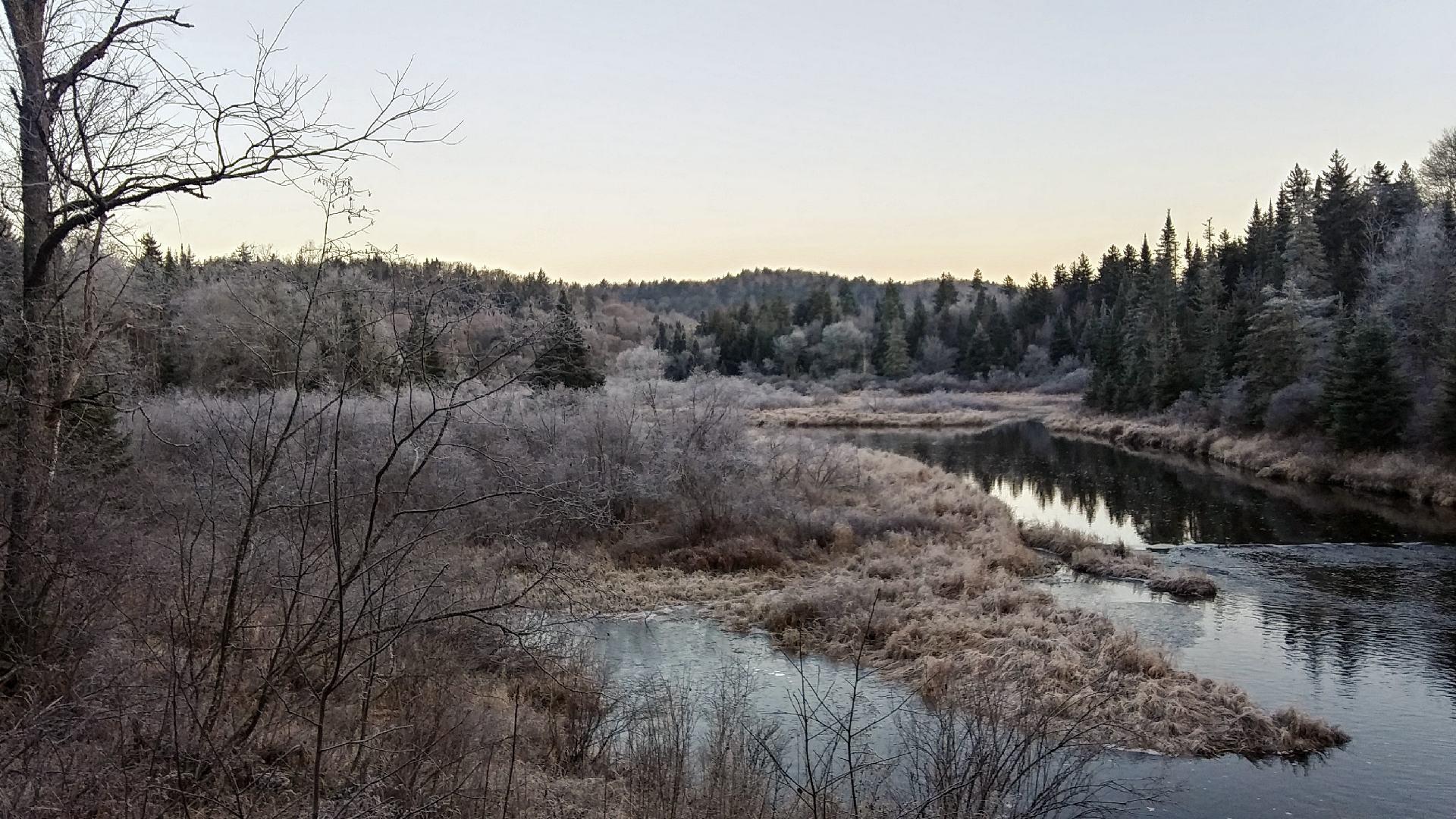
21 degrees this morning at camp ...
After yesterday's rain and sleet it got cold and all the trees had a pretty layer of ice on them.
Taken on Sunday November 29, 2020 at Piseco-Powley Road.

More about Piseco-Powley Road...
The 17-mile Piseco-Powley Road is a remote dirt route cutting through the Adirondack's Ferris Lake Wild Forest. It features 22 primitive roadside campsites, including four spots at Powley Place where the road crosses the West Branch of the East Canada Creek.
Download the PDF Map Pack with All Maps from Piseco-Powley Road.


")


