To Discourage Erosion 🖼️
Download a High Resolution JPEG Image of the To Discourage Erosion or an Adobe Acrobat Printable PDF of the To Discourage Erosion.
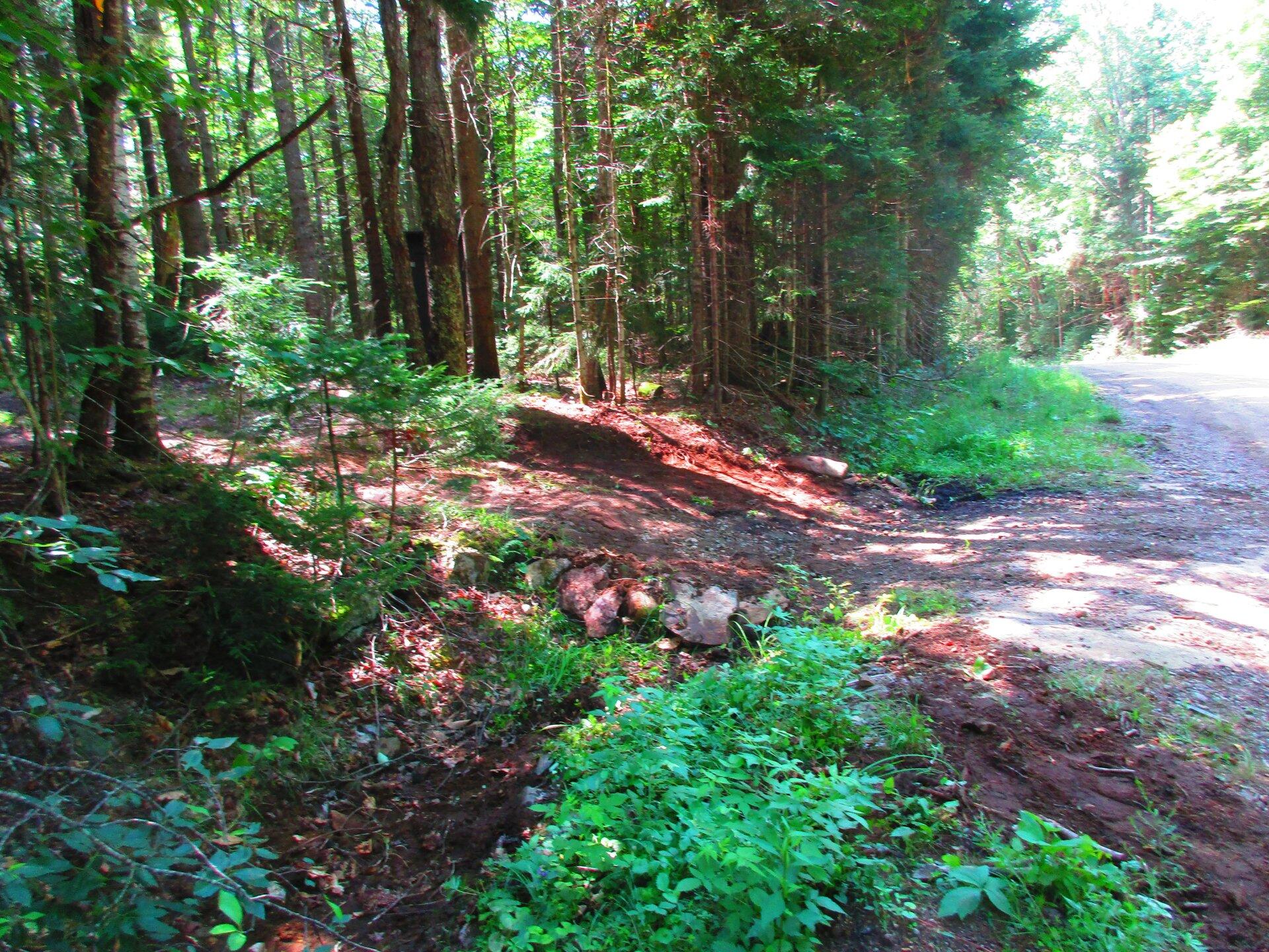
To Discourage Erosion ...
As you can see, I added several large rocks and continued to add dirt after this picture was taken, to further improve the access to this campsite.
Taken on Saturday July 25, 2020 at Piseco-Powley Road.

More about Piseco-Powley Road...
The 17-mile Piseco-Powley Road is a remote dirt route cutting through the Adirondack's Ferris Lake Wild Forest. It features 22 primitive roadside campsites, including four spots at Powley Place where the road crosses the West Branch of the East Canada Creek.
Download the PDF Map Pack with All Maps from Piseco-Powley Road.


")


![Photo: Big Fire, So Many Burnables Now Ash [Expires July 21 2026]](/data/photo_24859_small.jpg "Photo: Big Fire, So Many Burnables Now Ash [Expires July 21 2026]")


