Washout Along East Canada Creek 🖼️
Download a High Resolution JPEG Image of the Washout Along East Canada Creek or an Adobe Acrobat Printable PDF of the Washout Along East Canada Creek.
Washout Along East Canada Creek ...
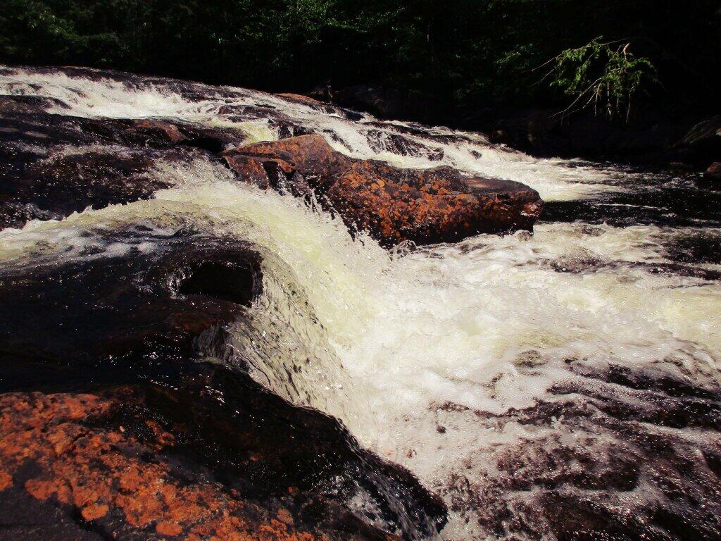
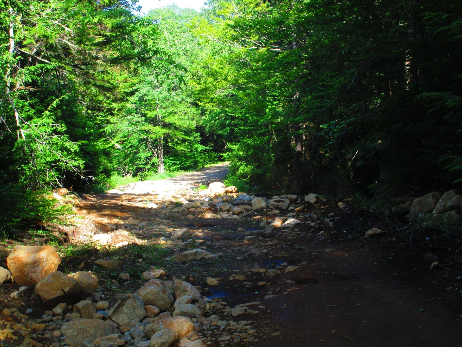
Probably the worse remaining washout in Stratford is the 1/4 mile stretch where the road runs right along the creek, and became part of the creek during the torrent.
Taken on Saturday July 18, 2020 at Piseco-Powley Road.

More about Piseco-Powley Road...
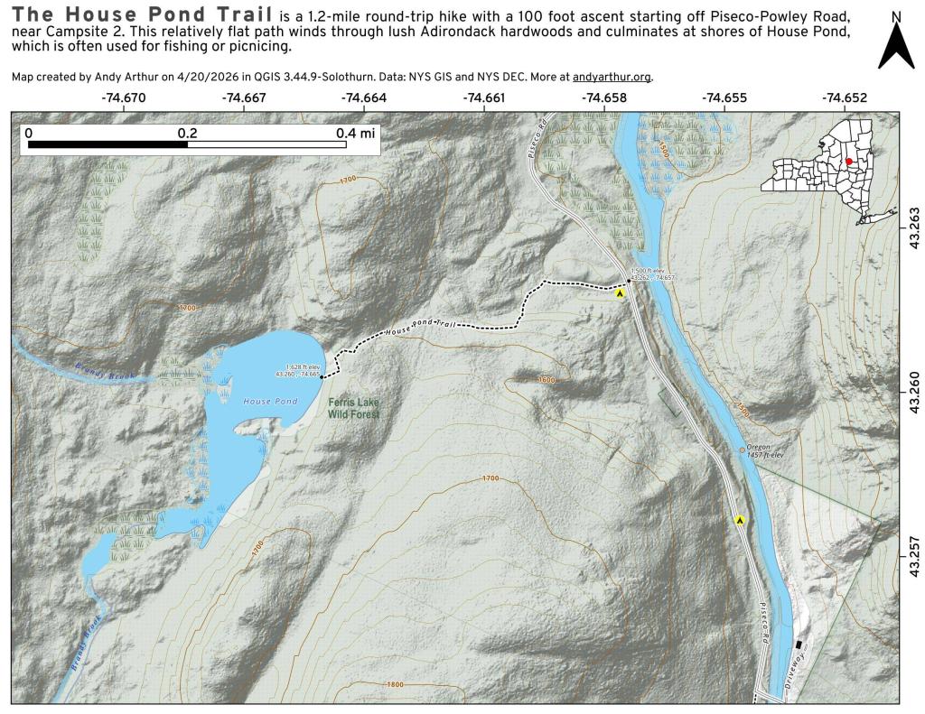
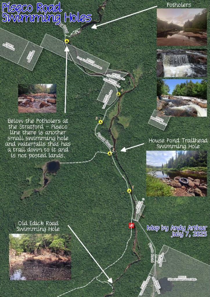
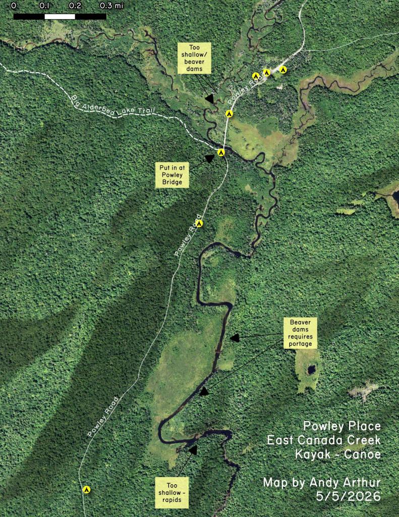
The 17-mile Piseco-Powley Road is a remote dirt route cutting through the Adirondack's Ferris Lake Wild Forest. It features 22 primitive roadside campsites, including four spots at Powley Place where the road crosses the West Branch of the East Canada Creek.
Download the PDF Map Pack with All Maps from Piseco-Powley Road.