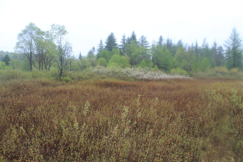
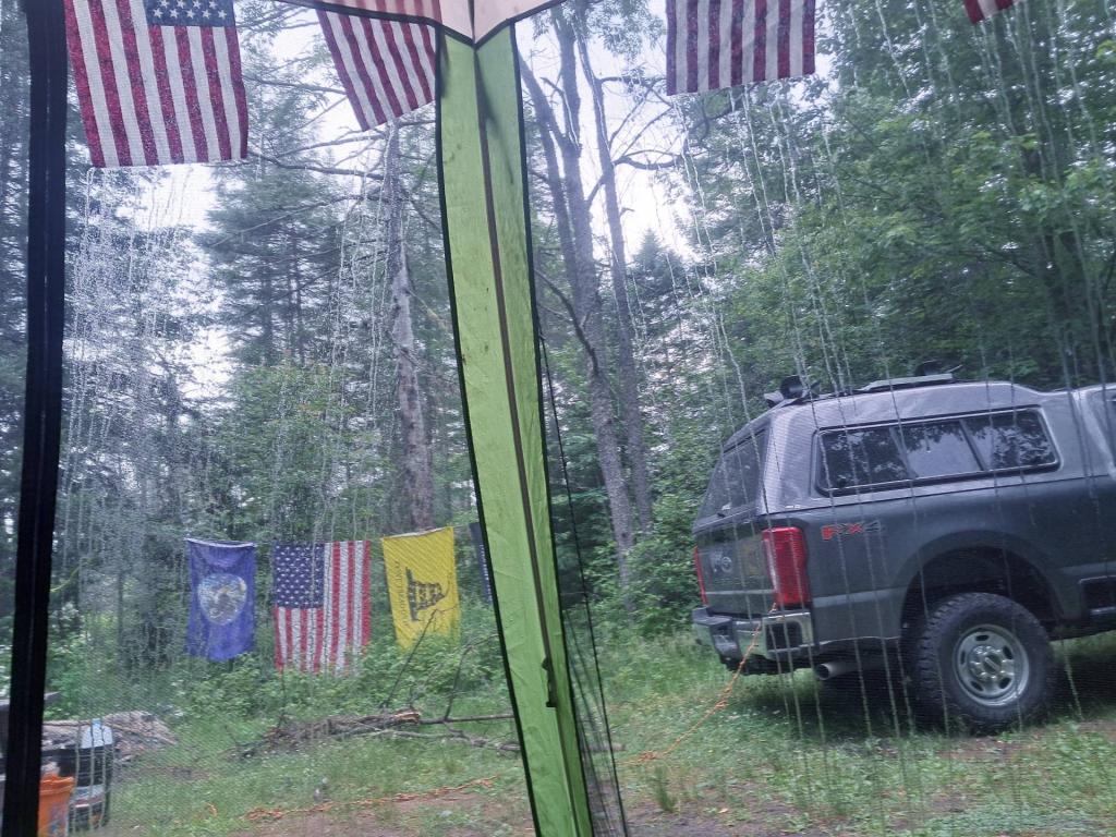
Opening Weekend, the Wet Memorial Day Weekend 2013
We are now roughly nine-weeks out from Memorial Day Weekend. That weekend is infamous for swarms of black flies in the back country, and often cold and wet weather. Six years ago, despite the advise of weatherman, I decided to spend opening weekend up at Moose River Plains.
![Untitled [Expires October 31 2024]](https://andyarthur.org//data/photo_013693_large.jpg)
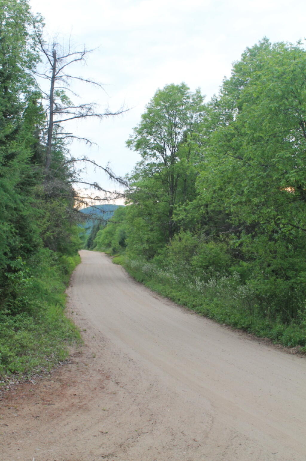
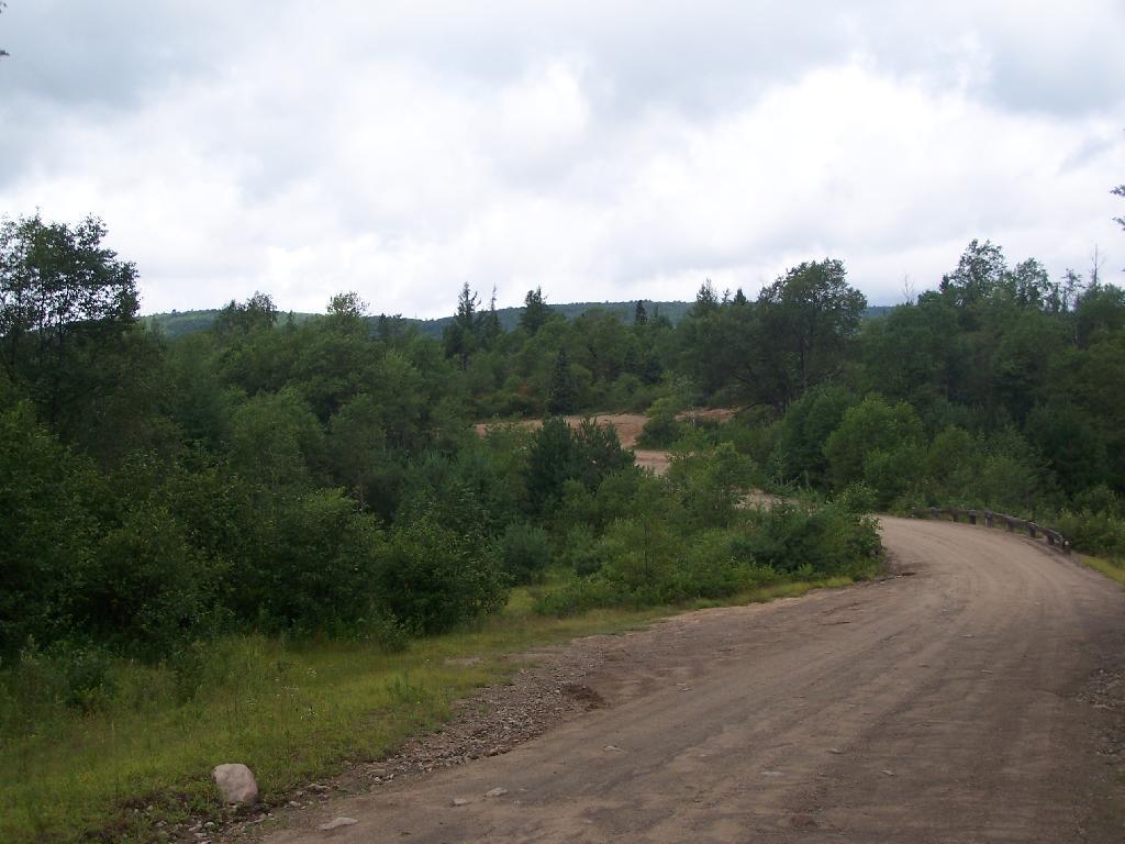
Most of the weekend was cold and wet, although Sunday and Monday actually had quite a bit of sun. But first half of the weekend, the roads really got bogged down in places, and it was very wet. They got up to a foot of snow in the Adirondack High Peaks during that weekend.
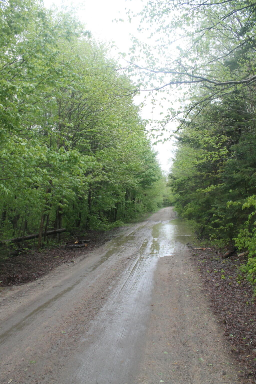
Many days were dark and cold. But I figured it was still better then being back in the city.

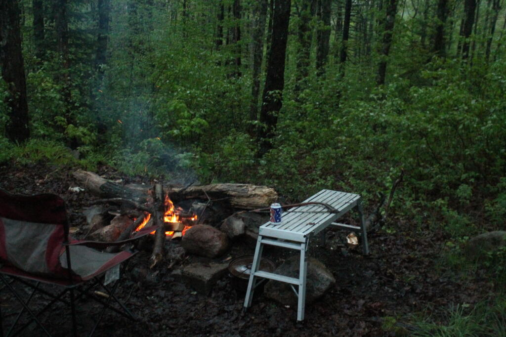
I mean, I had a nice fire and a thirty rack of beer which dulled the days of 40 degree weather and rain.
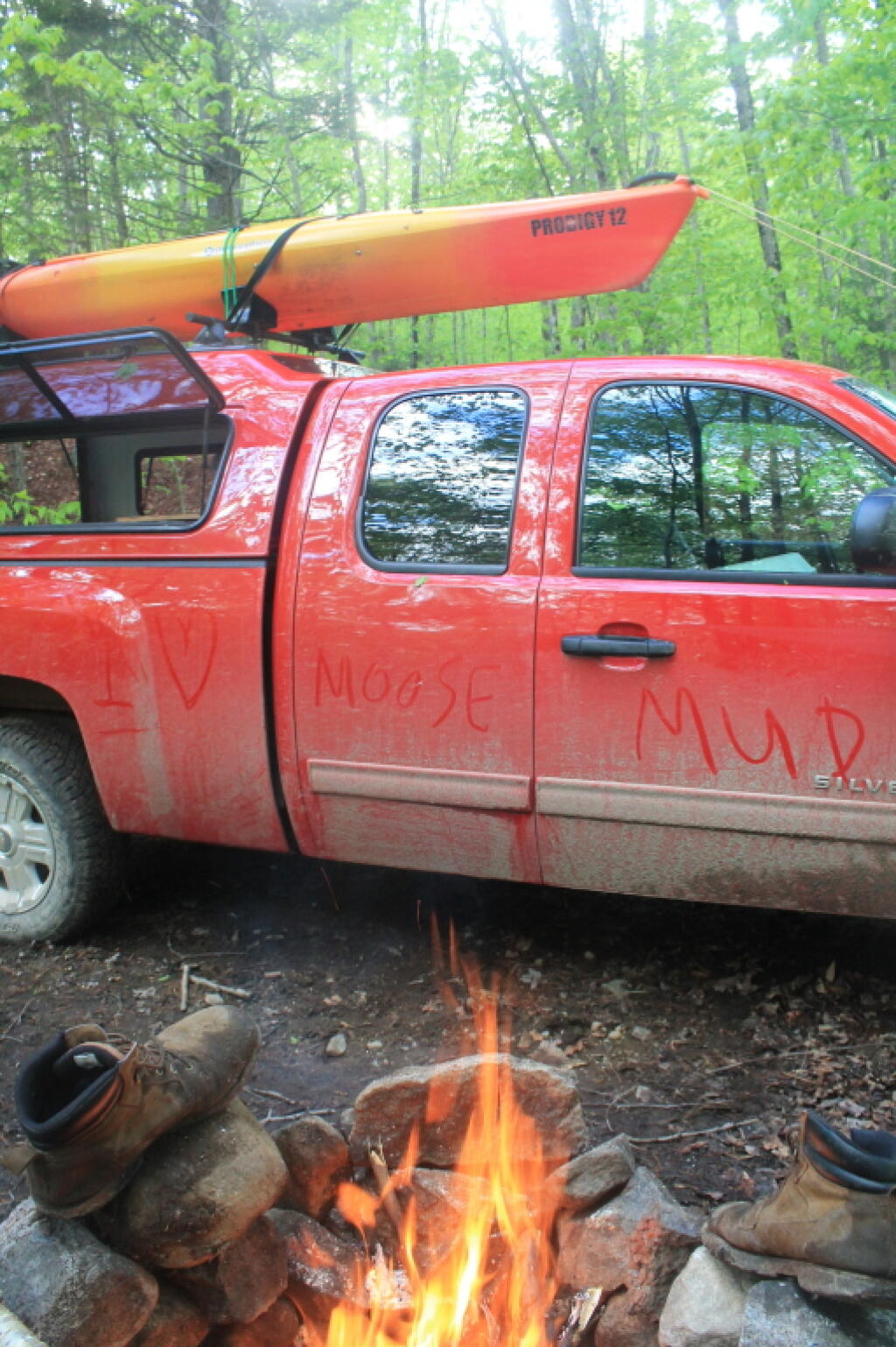
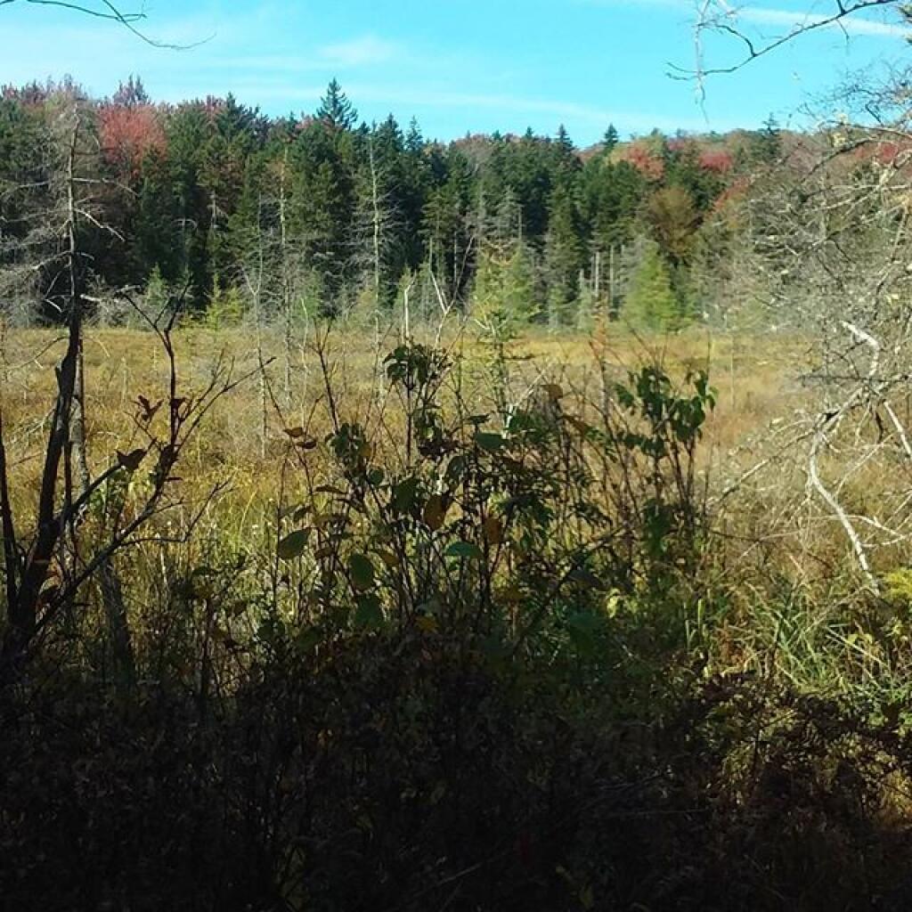
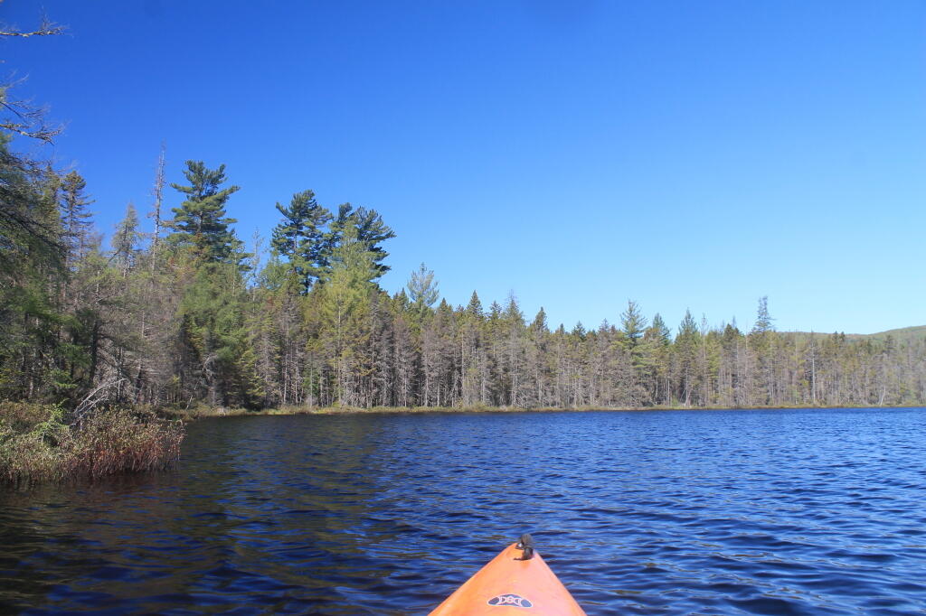
At times the clouds would break, and I went for a walk out along the Mitchell Ponds Loop.
![Untitled [Expires July 22 2024]](https://andyarthur.org//data/photo_014520_large.jpg)
And I had my lights and lot of cold beer.
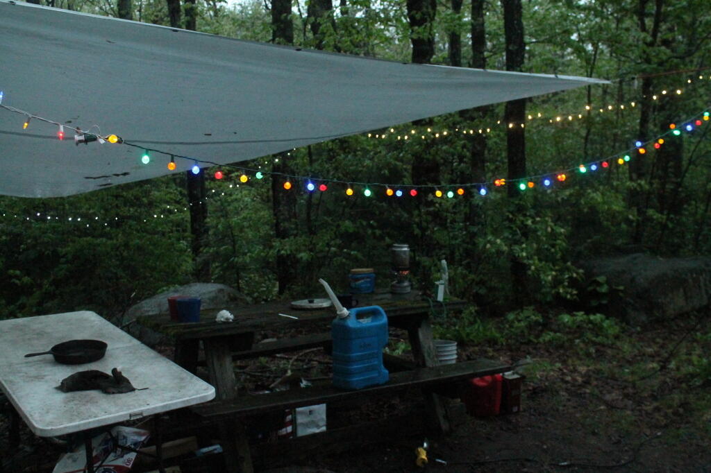
And eventually, when Sunday rolled around, it actually got quite nice.
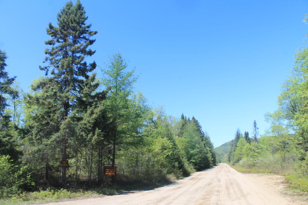
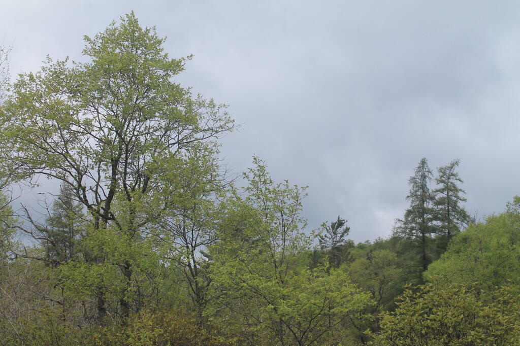
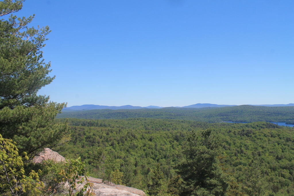
Things were very green hiking Black Bear Mountain, when I went to Inlet on Sunday. Trails were muddy, but the scenery was good.
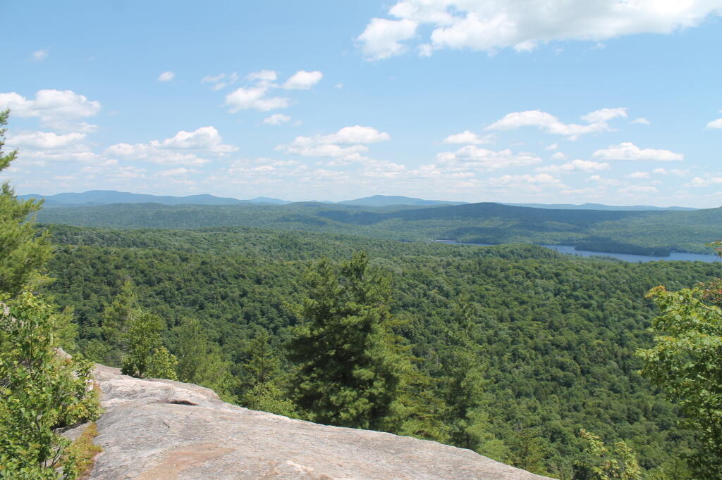
It’s easy to say that was nuts to camp three nights in the rain and drizzle, to say nothing of mud and forty-degree weather — but the beer and black flies weren’t that bad this year.

I always get a giggle out of the Forest Rangers and others I tell about my adventure that rain-soaked weekend of Memorial Day Weekend 2013, because everybody seems to remember how truly bad that weather was back then, and how miserable people were. But I made the best of it.