Coal Mine


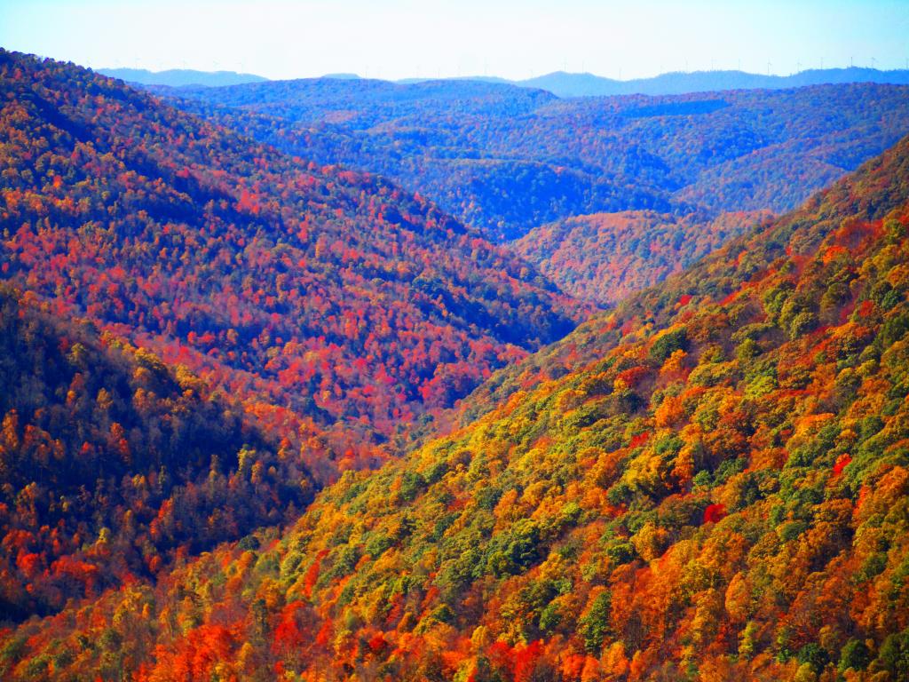
Looking out across the Blackwater Canyon from Lindy Point. Wind turbines in the distance on Backbone Mountain. Like in most parts of the country, wind is one of fastest growing sources of electricity in West Virginia. Every time you go there, more and more ridges have wind turbines. Not only do they have high, narrow windy ridges, the state has good electrical connections to metropolitan areas in other states due to the overbuilt grid, a legacy of coal generation.
Tuesday October 24, 2023 — Blackwater Falls State Park

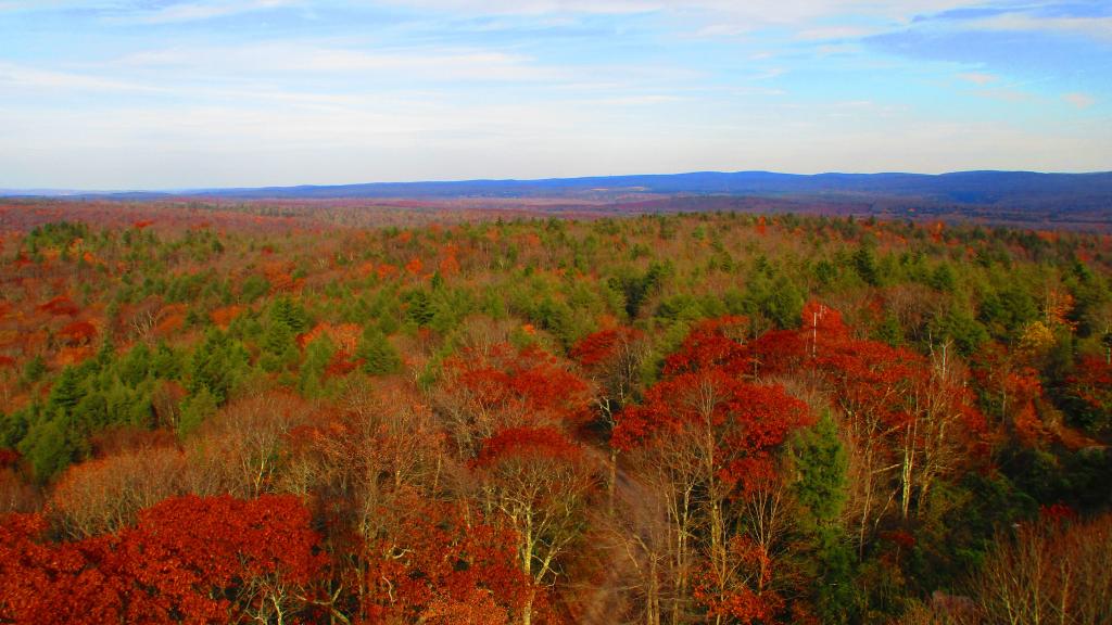
You might think the this area looks remarkably flat, but looks can be deceiving from the Olson Firetower which is on Backbone Mountain at 3,650 feet.
The range in the distance is the Allegheny Front (the Eastern Continental Divide), indeed it tops out at above 4,200 feet elevation with Petersburgh on the east side beyond it only about 1,000-1,500 feet elevation. The west side of Allegheny Front isn't as big of a drop, but the Canaan Valley is still only 3,200-3,500 feet elevation.
In the middle you can see the smoke stacks of the Mount Storm Coal Power Plant, the largest in the northeastern West Virginia which is a major electricity source for the Greater Washington DC area.
Thursday October 26, 2023 — Monongahela National Forest — Blackwater Canyon Trail 🗺 — Forest Road 13 Informal Camping Opporunities 🗺 — Monongahela National Forest 1:24k Topographic Map Index 🗺 — Olson Fire Tower 🗺— PDF with All Maps 📚

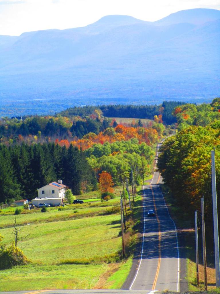
Much farther south then Albany and with such a mild autumn, it was still not far past peak in the Sweedlin Valley, looking towards Fisher Peak from Shanandoah Mountain.
Monday November 8, 2021 — Shanandoah Mountain
