Warren County 📍

Warren County is a county in the U.S. state of New York. It is part of the Glens Falls, New York, Metropolitan Statistical Area. As of the 2010 census, the population was 65,707. It is named in honor of General Joseph Warren, an American Revolutionary War hero of the Battle of Bunker Hill.The county seat is Queensbury.

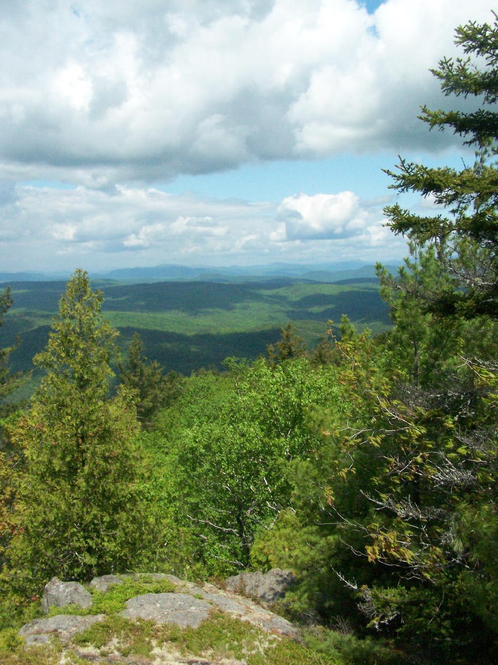
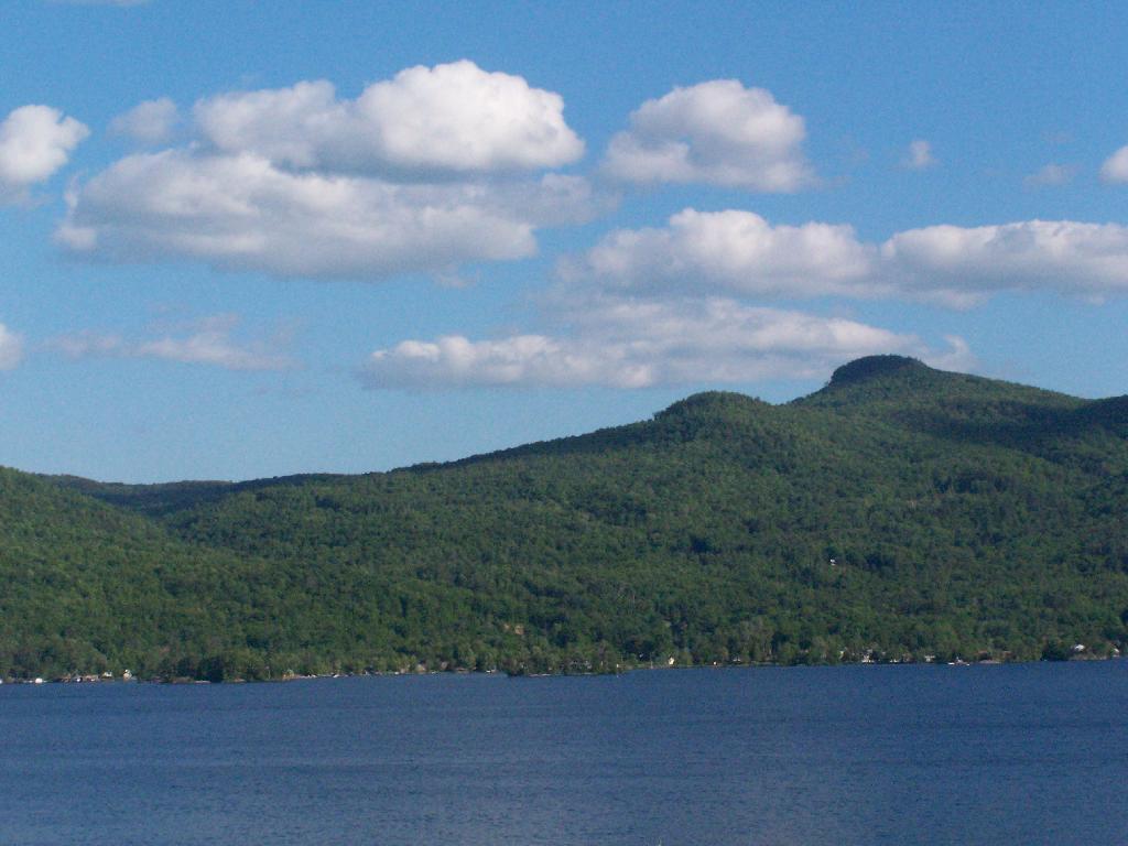
According to the U.S. Census Bureau, the county has a total area of 932 square miles (2,410 km2), of which 869 square miles (2,250 km2) consists of land and 62 square miles (160 km2) (6.69%) consists of water. Warren County is situated in the eastern portion of New York state; the eastern border is Washington County. Being located in the Adirondack Mountains, it is not uncommon for mountain peaks to surpass 2,000 feet (610 m). The highest peak in the county is Gore Mountain at an elevation of 3,198 feet (975 m).

http://en.wikipedia.org/wiki/Warren_County,_New_York

Download the PDF Map Pack
🗺️ Maps 🖼️ Photos 📽️ Videos
Thematic Map: NYS Electric Utility Service Territories Map
Map: Hickok Brook Multiple Use Area
Map: Utica Marsh Wildlife Management Area
SVGZ Graphic: 500 year floods can repeat themselves more then you would think