John Boyd Thacher State Park 📍

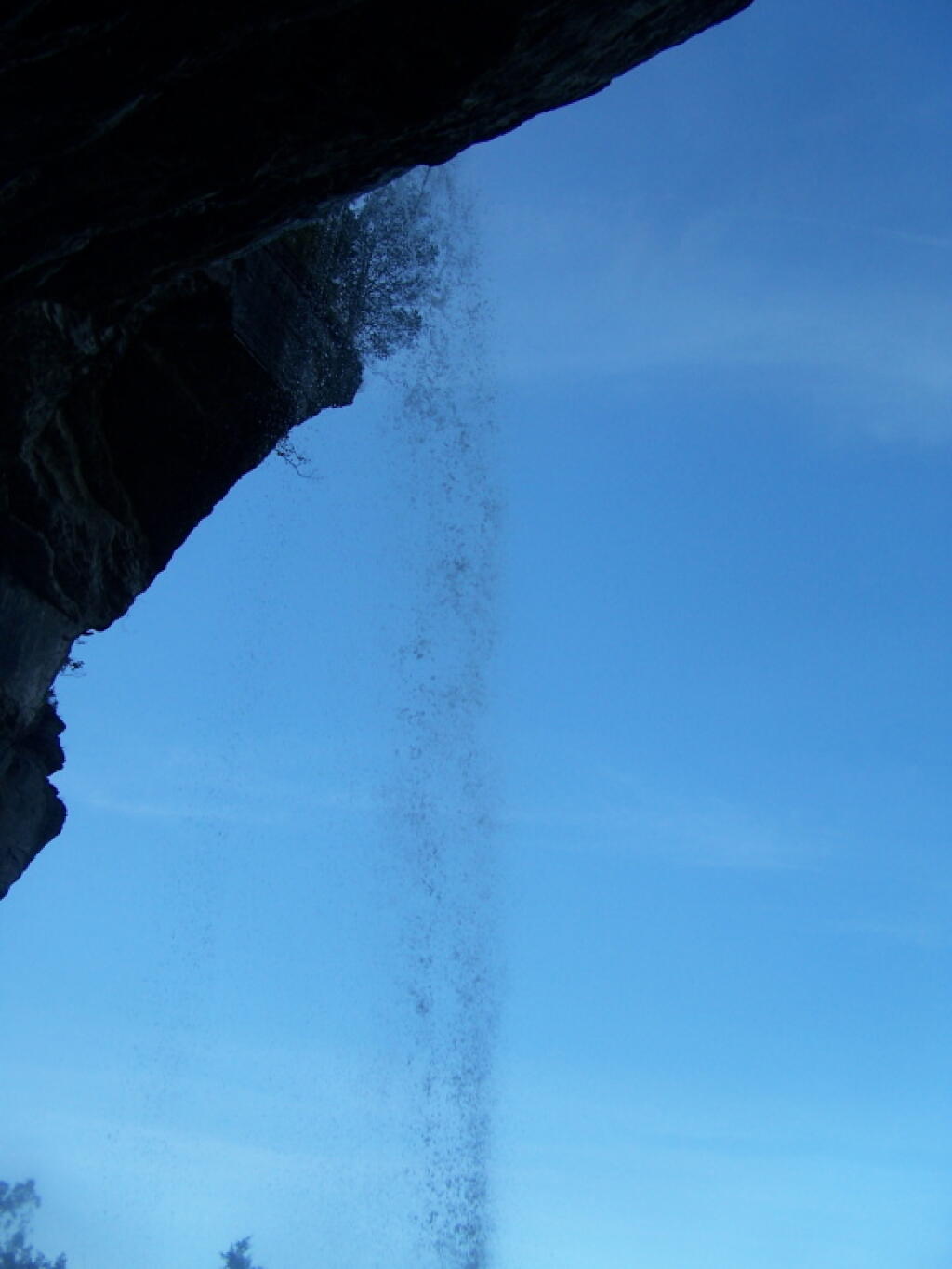
John Boyd Thacher State Park, is situated along the Helderberg Escarpment, one of the richest fossil-bearing formations in the world. Even as it safeguards six miles of limestone cliff-face, rock-strewn slopes, woodland and open fields, the park provides a marvelous panorama of the Hudson-Mohawk Valleys and the Adirondack and Green Mountains. The park has volleyball courts, playgrounds, ball fields and numerous picnic areas with nine reservable shelters. Interpretive programs are offered year-round, including guided tours of the famous Indian Ladder Trail. There are over 25 additional miles of trails for summer hiking and mountain biking, and winter cross-country skiing, snowshoeing, hiking, and snowmobiling.

http://nysparks.com/parks/128/

🖼️ Photos 📽️ Videos

Thacher Park OSI Parcel 1960

Kind of fascinating to compare the Thacher Park OSI Parcel to today. While parts were farmed in the sixties, it's less than you might think. A lot was wooded back then. And the pond didn't exist back then. 

Thematic Map: Water Supply in the Capital Region
Map: Blenheim Hill State Forest

John Boyd Thacher Park in 1900

It should be noted that the Berne 1900 quad seems like it is a revised version, as Thacher Park is listed on this map, even though it didn't become a park until 1914.

Terrain Map: Mahanoy Mountain
Map: Rome Sand Plains Unique Area
Map: Severence Hill Trail