John Boyd Thacher Park in 1900 🗺️
About John Boyd Thacher Park in 1900 ....
It should be noted that the Berne 1900 quad seems like it is a revised version, as Thacher Park is listed on this map, even though it didn't become a park until 1914.

Helpful Hint: While I suggest you look on blog for a downloadable PDF Map, you should be able to print or save this map by clicking the print button on the map above.
Data Sources
Road Trip to Coal Country by Nate Matthews - You can download the KMZ File used in creation of this map.
Historical USGS Topographic Maps - You can browse all historical USGS topographic maps or you can bulk download them on HTTP Directory/Amazon Cloud or using an FTP Client. Retrieved via USGS ArcMap Image Server: https://utility.arcgis.com/usrsvcs/servers/88d12190e2494ce89374311800af4c4a/rest/services/USGS_Historical_Topographic_Maps/ImageServer/ with parameters: mosaicRule: {"mosaicMethod":"esriMosaicCenter","where": "OBJECTID = 112654 OR OBJECTID = 112499","ascending":true,"mosaicOperation":"MT_FIRST"}
OpenStreetMap - Map data: © OpenStreetMap, SRTM | Map style: © OpenTopoMap (CC-BY-SA). XYZ Tiles: https://{s}.tile.openstreetmap.org/{z}/{x}/{y}.png
3DEP Elevation Hillshade. LIDAR and legacy USGS DRG Topo Derived hillshades used as a background. DEM - WMS Service: https://elevation.nationalmap.gov/arcgis/services/3DEPElevation/ImageServer/WMSServer, Layer: 3DEPElevation:Hillshade Gray
Full List of WMS and ArcMap Services - CSV Spreadsheet with all web map services currently used on the blog.
More about John Boyd Thacher State Park...
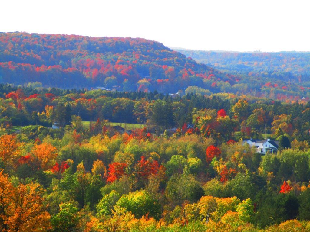
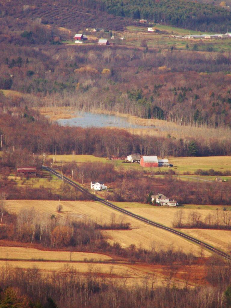
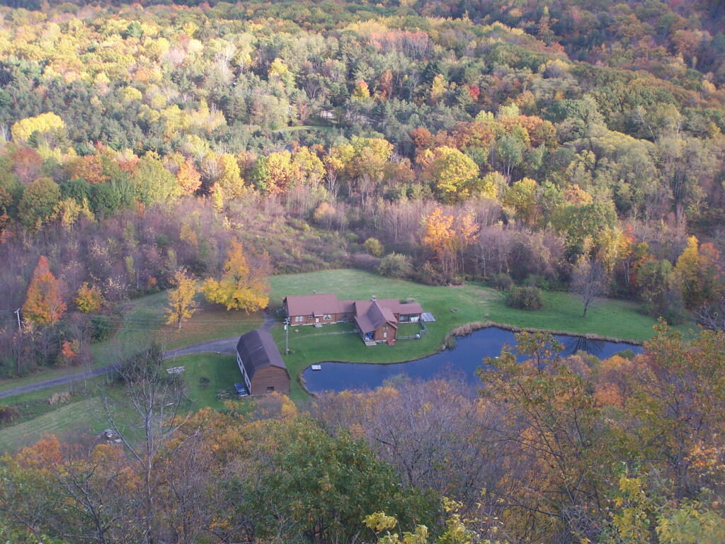
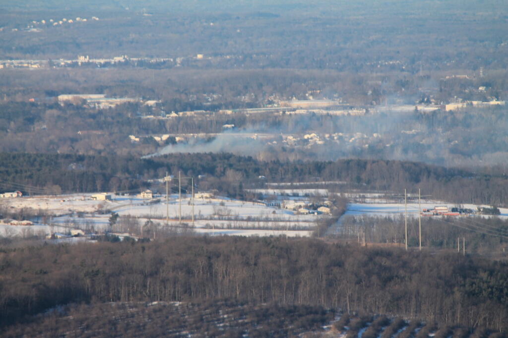
John Boyd Thacher State Park, is situated along the Helderberg Escarpment, one of the richest fossil-bearing formations in the world. Even as it safeguards six miles of limestone cliff-face, rock-strewn slopes, woodland and open fields, the park provides a marvelous panorama of the Hudson-Mohawk Valleys and the Adirondack and Green Mountains. The park has volleyball courts, playgrounds, ball fields and numerous picnic areas with nine reservable shelters. Interpretive programs are offered year-round, including guided tours of the famous Indian Ladder Trail. There are over 25 additional miles of trails for summer hiking and mountain biking, and winter cross-country skiing, snowshoeing, hiking, and snowmobiling.
http://nysparks.com/parks/128/