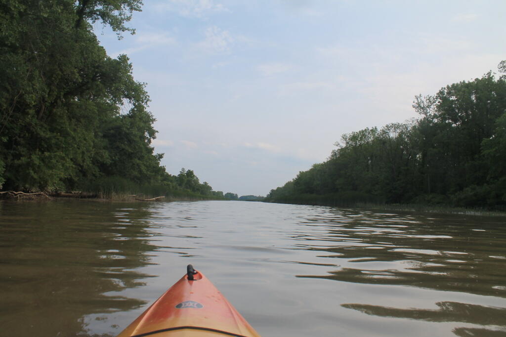
Schodack Creek 📍

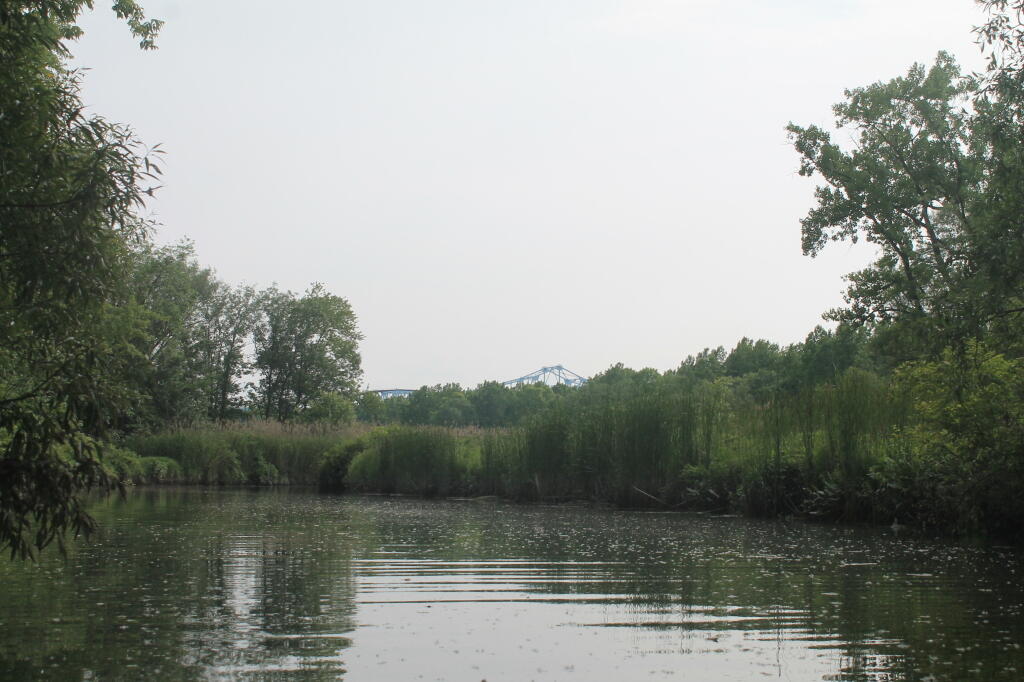
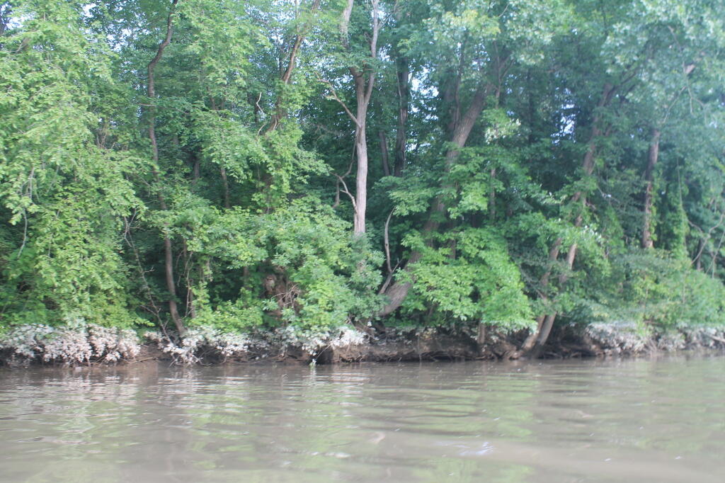
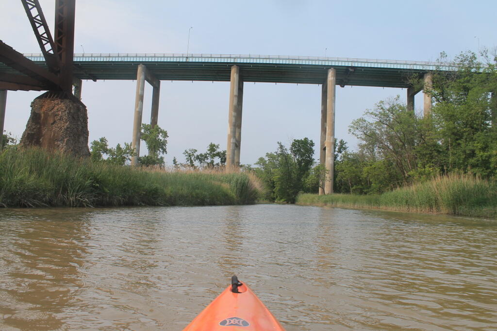
Offering paddling for several miles along the Hudson River, area turns to mud-flats in low tide, and a muddy brown that is paddle-able in high tide.


🖼️ Photos
Terrain Map: Enfield Glen
Map: Severence Hill Trail
Thematic Map: Troy vs Manhattan - A Size Comparison
Map: Green Mountain National Forest North
OpenStreetMap: One of the World's Largest Collaborative Geospatial Projects - GIS Lounge