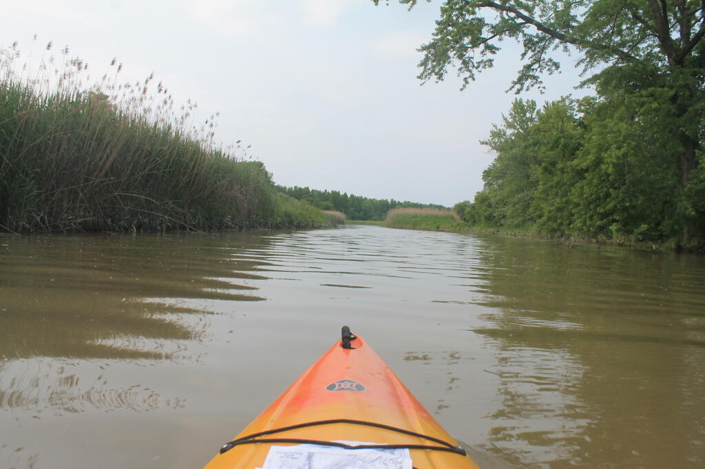
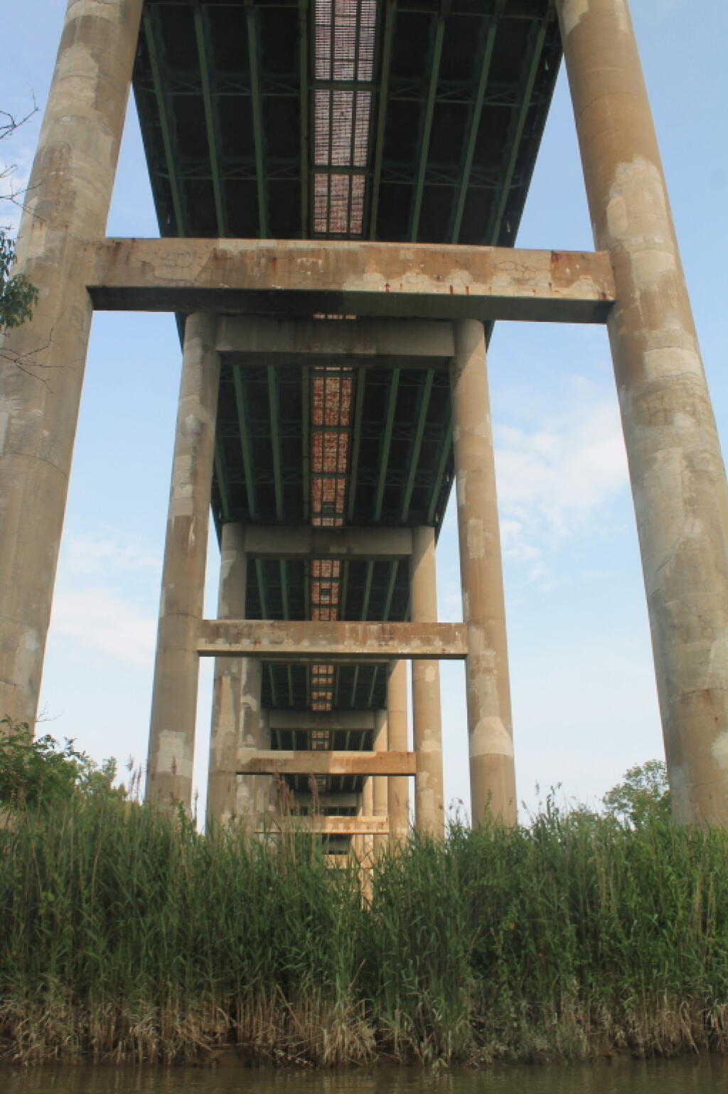
Thruway Bridge High Above the Schodack Creek Andy | May 29, 2023 The rumble of traffic high overhead as one paddles out along the Schodack Creek. Saturday June 22, 2013 — Schodack Creek