Piseco-Powley Road πŸ“

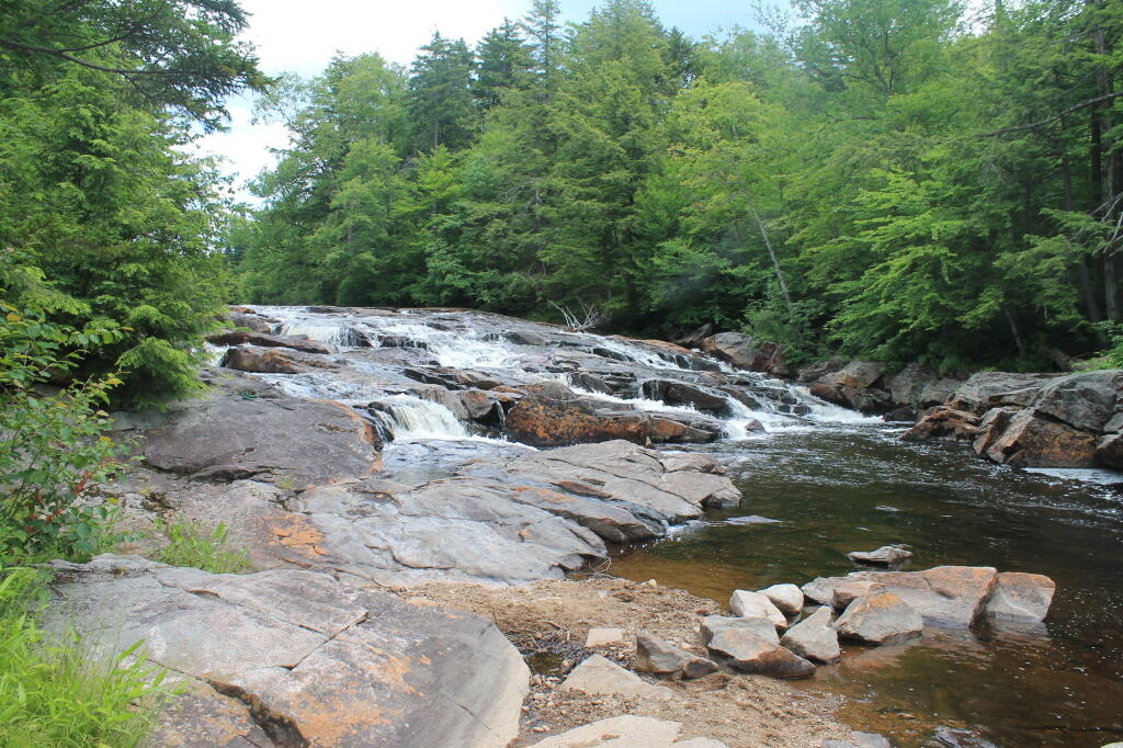
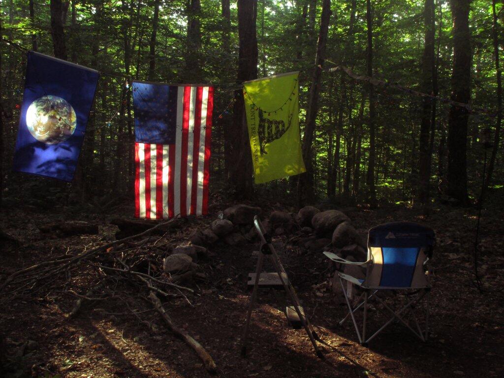
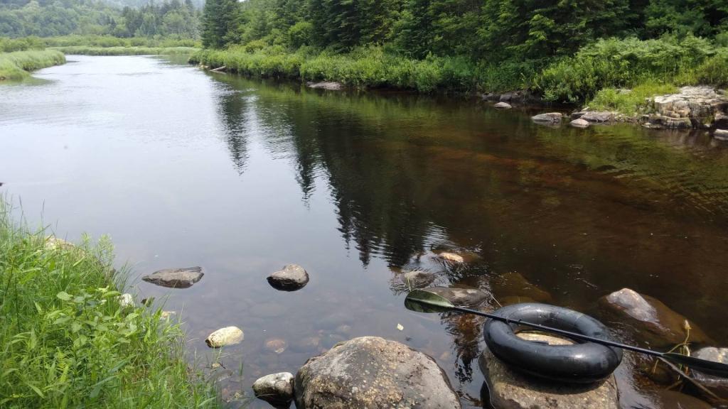
The 17-mile Piseco-Powley Road is a remote dirt route cutting through the Adirondack’s Ferris Lake Wild Forest. It features 22 primitive roadside campsites, including four spots at Powley Place where the road crosses the West Branch of the East Canada Creek.

Download the PDF Map Pack
πŸ—ΊοΈ Maps πŸ–ΌοΈ Photos πŸ“½οΈ Videos

Powley Place

Driving through lovely Powley Place, which is one of my favorite places to camp in the Adirondacks.

Thematic Map: Not a lot of Agriculture  in the Adirondack Park
SVGZ Graphic: Population Density of the Catskill Park