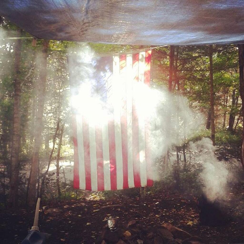
Smoke


If you climb down the steep ledge off Edick Road Campsite 1, you can find a quiet place to watch wildlife from the shadows overlooking a marshy part of the East Canada Creek.
Saturday August 14, 2021 — Piseco-Powley Road — Big Alderbed Lake Trail 🗺 — Clockmill Corners to NY 10 🗺 — Edick Road Swimming Hole 🗺 — Goldmine Stream Falls 🗺 — House Pond Trail 🗺 — Lower Powley Bridge to Sugarbush Mountain 🗺 — Meco Lake Trail (Piseco-Powley Road) 🗺 — Overview Map Piseco-Powley Road 🗺 — Piseco Road Swimming Holes 🗺 — Powley Place - East Canada Creek - Kayak Canoe 🗺 — Sand Lake 🗺 — Sand Lake Trail 🗺 — Sugarbush Mountain to Clockmill Corners 🗺— PDF with All Maps 📚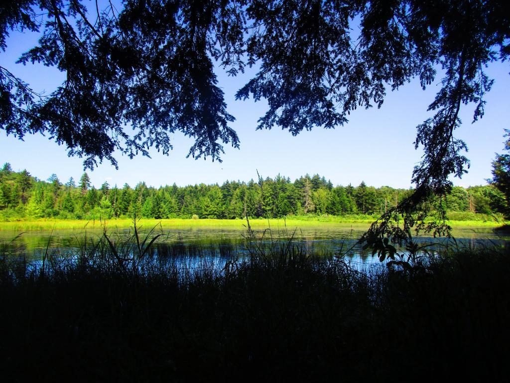


The water levels may have been low, and the water less refreshing then sometimes at the Potholers, but it still was a nice cool place to hang out during the past two weekends.
Saturday July 25, 2020 — Piseco-Powley Road — Big Alderbed Lake Trail 🗺 — Clockmill Corners to NY 10 🗺 — Edick Road Swimming Hole 🗺 — Goldmine Stream Falls 🗺 — House Pond Trail 🗺 — Lower Powley Bridge to Sugarbush Mountain 🗺 — Meco Lake Trail (Piseco-Powley Road) 🗺 — Overview Map Piseco-Powley Road 🗺 — Piseco Road Swimming Holes 🗺 — Powley Place - East Canada Creek - Kayak Canoe 🗺 — Sand Lake 🗺 — Sand Lake Trail 🗺 — Sugarbush Mountain to Clockmill Corners 🗺— PDF with All Maps 📚


