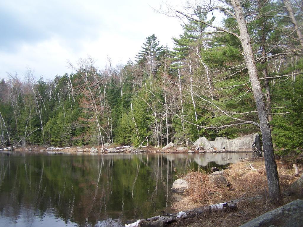
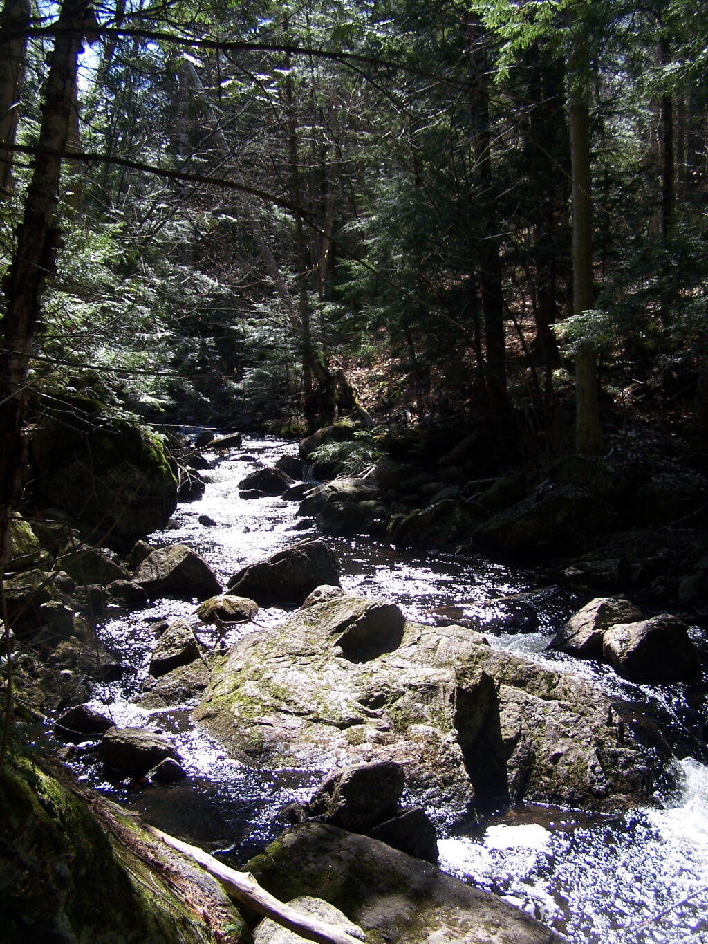
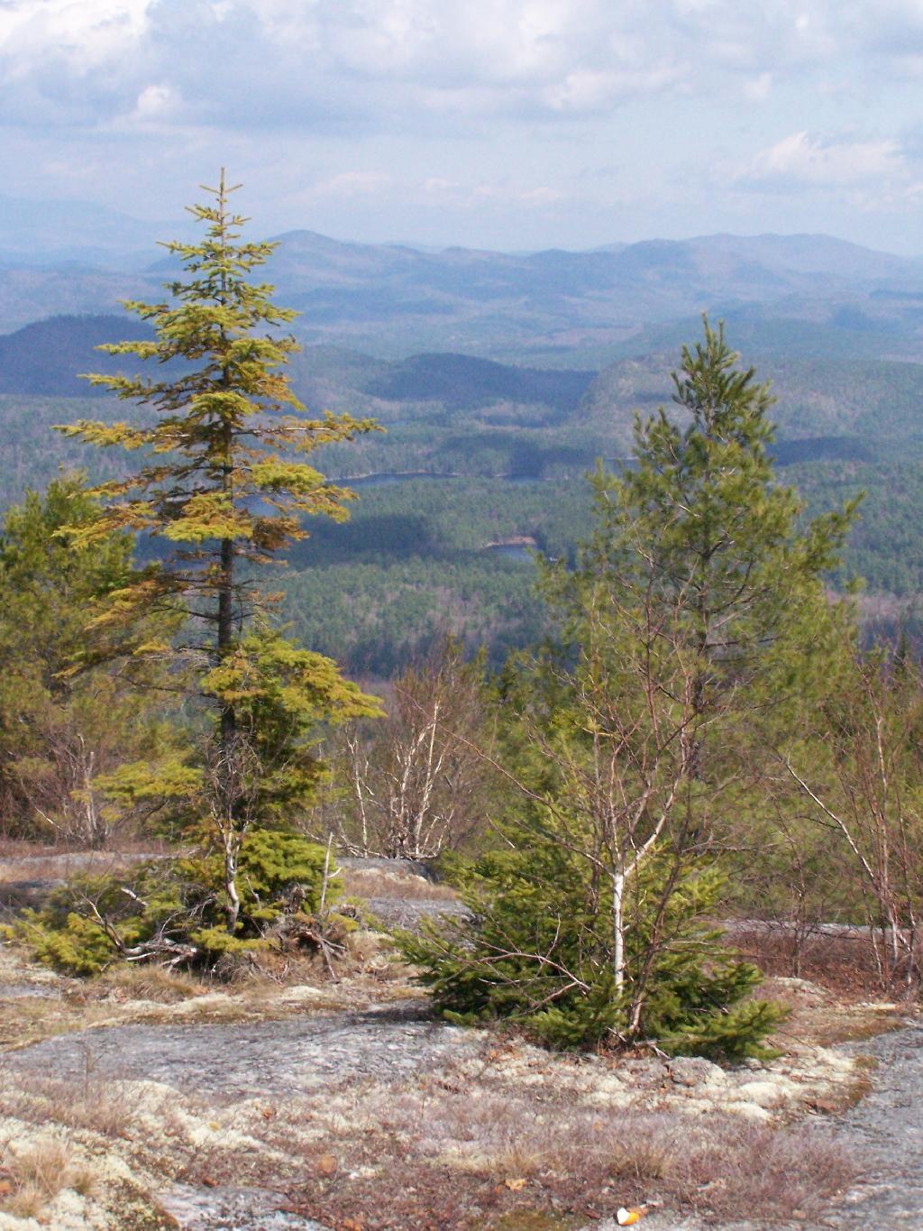
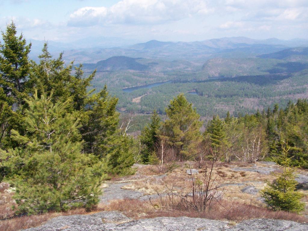
Pharaoh Lake Wilderness 📍

The Pharaoh Lake Wilderness Area, an Adirondack Park unit of New York’s Forest Preserve, straddles the Essex County-Warren County line in the towns of Ticonderoga, Hague, Horicon and Schroon. The county road along the east shore of Schroon Lake forms the western boundary; to the north, private land and NY 74 form the boundary. The state land boundary forms most of the remaining perimeter except for a stretch of NY 8 on the south. The area contains 39 bodies of water covering 1,100 acres (4.4 km2), 62.8 miles (101 km) of foot trails, and 14 lean-tos. Download all maps as a PDF: https://www.scribd.com/document/640711783/Pharaoh-Lake-Wilderness-Map-Pack

🗺️ Maps 🖼️ Photos
Map: Severence Hill Trail
Map: Wolf Lake State Forest
SVGZ Graphic: Iowa Population Density
Map: Gilman Lake

Crane Pond

Despite having such controversy and being where Crane Pond Road ultimately ends, it's a quite unremarkable pond.

Sunday April 11, 2010 — Pharaoh Lake Wilderness
Map: Basket Factory Road
Map: Galen Wildlife Management Area
Thematic Map: Louise Keir WMA Infographic