Morning in Canaan Heights

The Country Roads of West Viriginia, including Cannaan Heights Road are beautiful this time of year.
Sunday October 13, 2019 — Monongahela National Forest — Blackwater Canyon Trail 🗺 — Forest Road 13 Informal Camping Opporunities 🗺 — Monongahela National Forest 1:24k Topographic Map Index 🗺 — Olson Fire Tower 🗺— PDF with All Maps 📚

Hiking the Freeland Trail a few minutes before sunset.
Friday October 27, 2023 — Canaan Valley Wildlife Refuge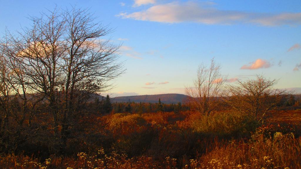

A largely undeveloped gravel bike trail outside of Thomas and Hedricks.
Most of the descend occurs in the 5 1/2 miles from Douglas, roughly 900 feet drop which works out to be an over 3% average grade, with a maximum grade of 3.75%.
It's much steeper then locomotives are engineered to safely climb, which is 2% or less, preferably less then 1.5%. It took at least two locomotives paired together climb, and heavy riding of the brakes down it and at least once in 1910s an out of control train crashed into the gorge below.
While not steep compared to many mountain roads, it's still a fun ride down and a good climb back up. Probably best done on a mountain bike, as the railroad gravel is fairly course on it
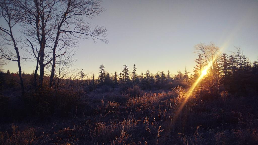
Thursday October 26, 2023 — Monongahela National Forest — Blackwater Canyon Trail 🗺 — Forest Road 13 Informal Camping Opporunities 🗺 — Monongahela National Forest 1:24k Topographic Map Index 🗺 — Olson Fire Tower 🗺— PDF with All Maps 📚

It was a very frosty morning to start out my first day camping up at Canaan Heights. It's been significantly colder there this year a few days compared to Albany, which is why most of the leaves are gone in the high country.
Monday October 23, 2023 — Monongahela National Forest — Blackwater Canyon Trail 🗺 — Forest Road 13 Informal Camping Opporunities 🗺 — Monongahela National Forest 1:24k Topographic Map Index 🗺 — Olson Fire Tower 🗺— PDF with All Maps 📚