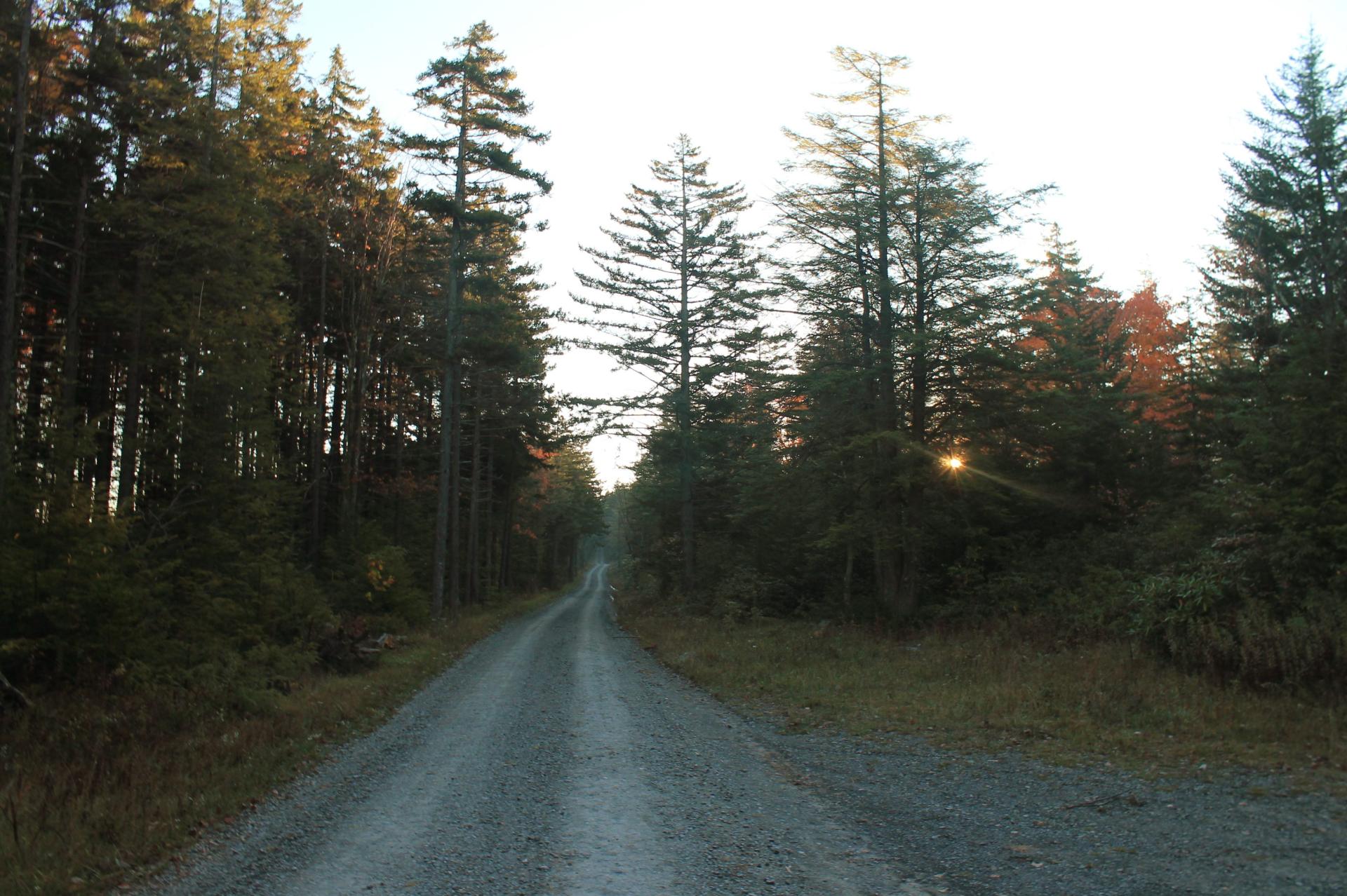
Morning in Canaan Heights 🖼️
Download a High Resolution JPEG Image of the Morning in Canaan Heights or an Adobe Acrobat Printable PDF of the Morning in Canaan Heights.
Morning in Canaan Heights ...
Taken on Monday October 12, 2015 at Monongahela National Forest.

More about Monongahela National Forest...
Spanning the Appalachian Mountains of West Virginia, Monongahela National Forest sprawls across 900,000 acres of diverse landscapes. Its lush forests, rolling hills, and rugged mountains create a haven for outdoor enthusiasts. With abundant trails, including those in the designated Cranberry Wilderness, hiking, camping, fishing, and wildlife watching are popular pursuits. The forest offers primitive and roadside camping, allowing visitors to immerse themselves in nature. While embracing its wilderness charm, it's important to note that limited cell service adds to the authentic back-to-nature experience. From the Allegheny Plateau to mountainous terrains, Monongahela National Forest beckons adventurers to explore its untouched beauty and embrace the outdoor splendor of the Appalachian region.
https://www.fs.usda.gov/mnf
https://en.wikipedia.org/wiki/Monongahela_National_Forest
Download the PDF Map Pack with All Maps from Monongahela National Forest.


