A.T. @ MA-VT Line
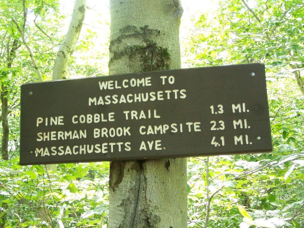
This is the Appalachian Trail where it crosses the state border from Massachusetts to Vermont. When it crosses the state line, it becomes part of the Green Mountain National Forest.
Sunday September 6, 2009 — Pine Cobble

This is the Appalachian Trail where it crosses the state border from Massachusetts to Vermont. When it crosses the state line, it becomes part of the Green Mountain National Forest.
Sunday September 6, 2009 — Pine Cobble

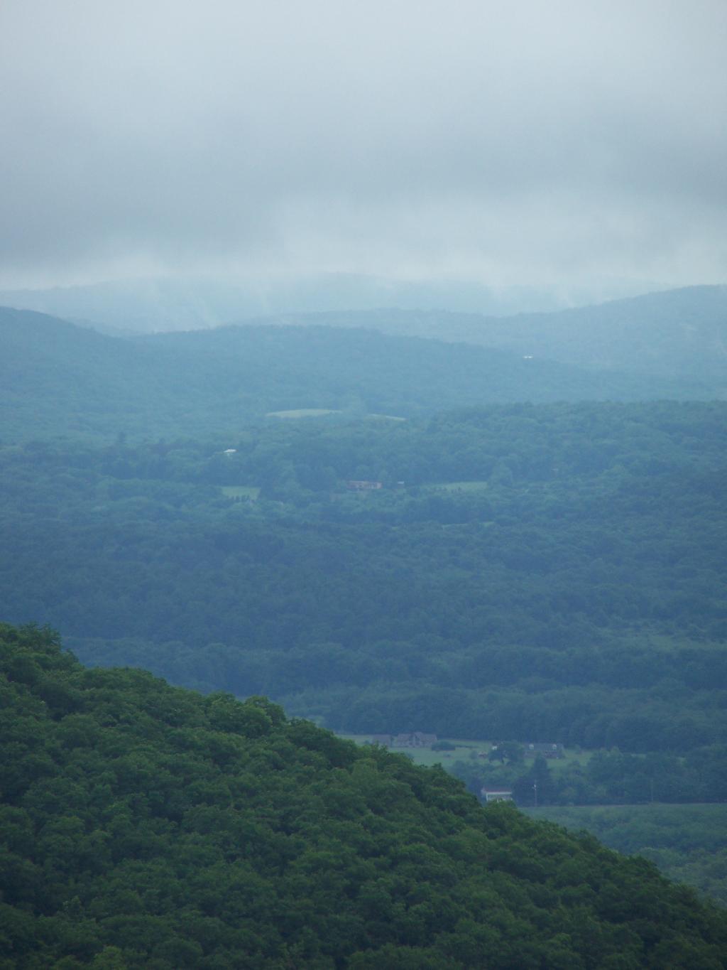
It wasn't really raining by about 10 AM, but it still was foggy with heavy clouds, looking south of Washburn Mountain from Bash-Bish Mountain.
Sunday June 14, 2009 — Bash Bish Falls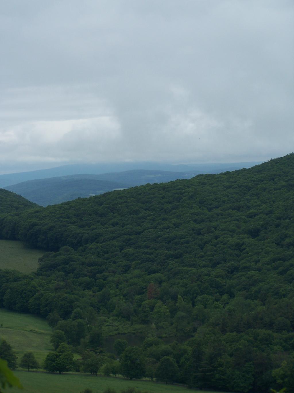

All that rain turned the Sunset Rock Trail into more of a stream then a hiking trail. It wasn't all that eroded or steep in this section, just very wet.
Sunday June 14, 2009 — Bash Bish Falls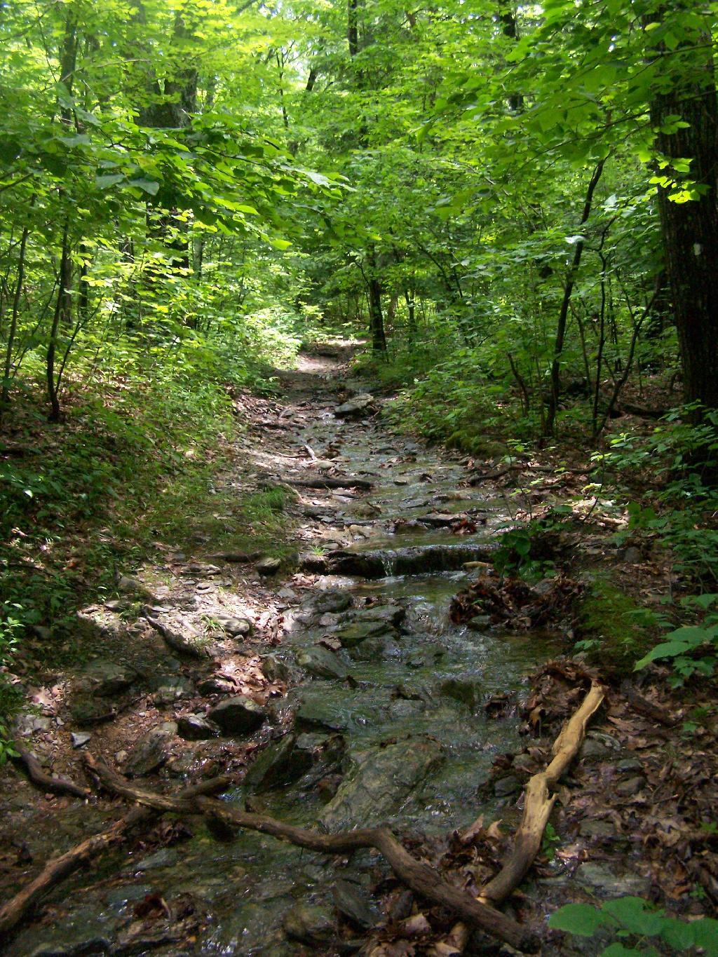

From Sunset Rock. Those are the Catskills in the background. By 1 PM it had cleared out quite nicely with minimal haze, at least for New York State.
Sunday June 14, 2009 — Bash Bish Falls

Watching the rain come down from Bash Bish Mountain.
Sunday June 14, 2009 — Bash Bish Falls