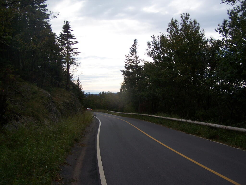
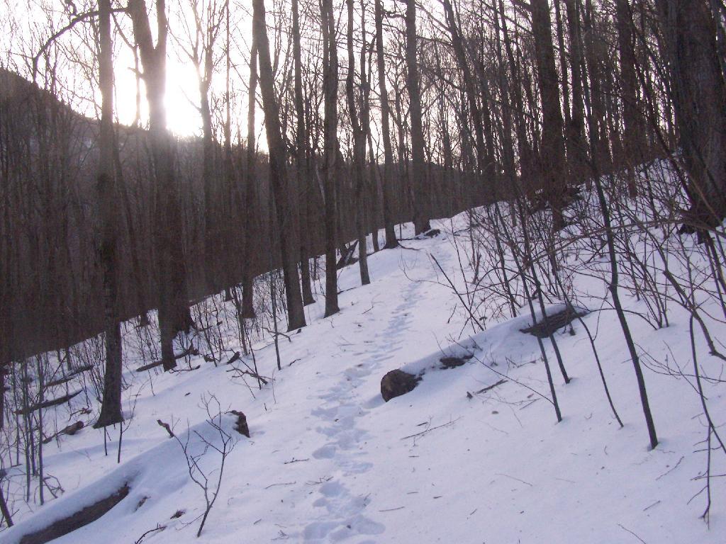
Mount Greylock 📍

At 3,491 feet, Mount Greylock is the highest point in Massachusetts. Rising above the surrounding Berkshire landscape, dramatic views of 60-90 miles distant may be seen. It became Massachusetts’ first wilderness state park, acquired by the Commonwealth in 1898, to preserve its natural environment for public enjoyment. Wild and rugged yet intimate and accessible, Mount Greylock rewards the visitor exploring this special place of scenic and natural beauty.

http://www.mass.gov/eea/agencies/dcr/massparks/region-west/mt-greylock-state-reservation-generic.html

🖼️ Photos
Map: Columbia Lake State Forest
Thematic Map: Pennsylvania Population Density
Map: Floodwood Pond Loop
Map: Shelving Rock Road and Dacy Clearing Road

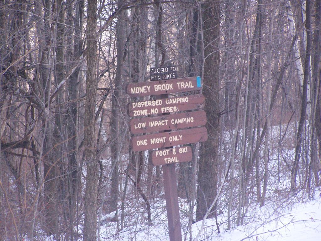
Dispersed Camping Along Money Brook

Massachusetts is far more restrictive of camping then New York State. You can only camp in dispersed areas where specifically allowed, and they don't even allow fires with backcountry camping.

Sunday December 13, 2009 — Mount Greylock
Map: Mountain House Trail and North Mountain