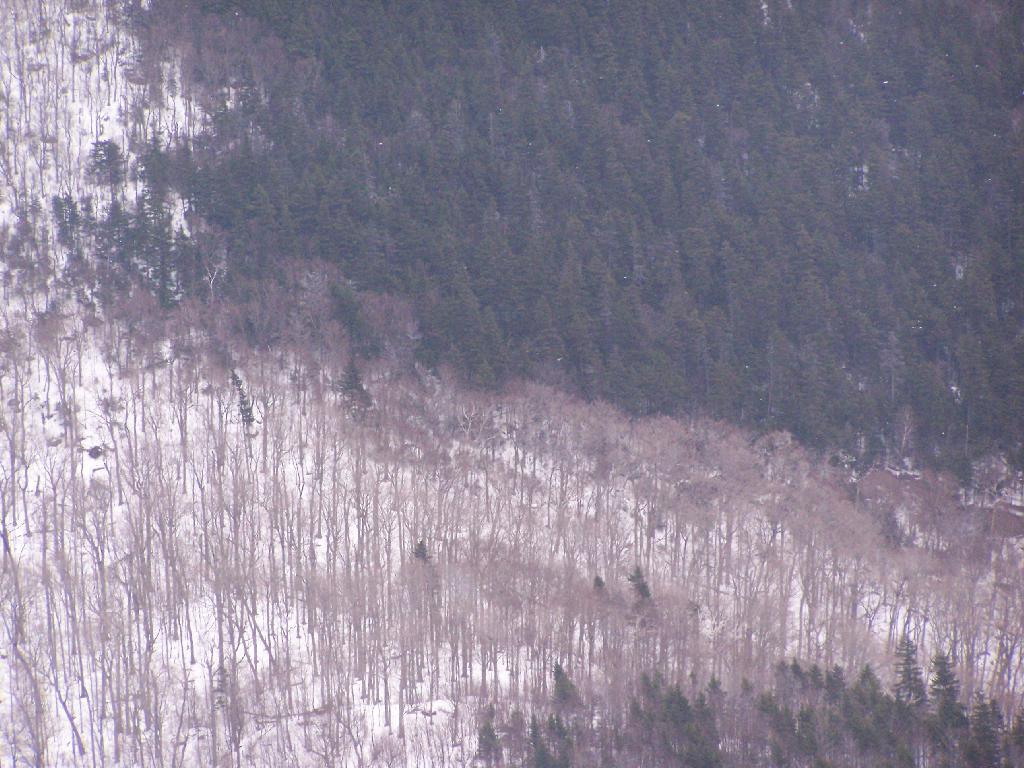
Coniferous and Deciduous Trees on Mount Greylock

The snow was flying down hard around 2 PM, and a little bit lower down it turned to rain, and was too wet to have the camera out.
Sunday December 13, 2009 — Mount Greylock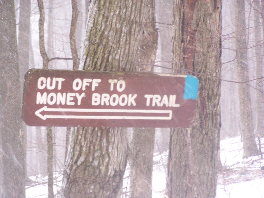

It was still somewhat dark in the clove here at 8:30 AM.
Sunday December 13, 2009 — Mount Greylock

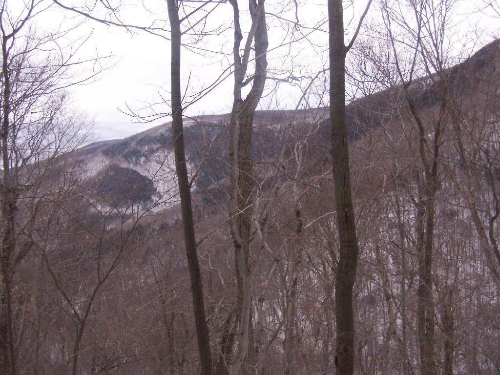

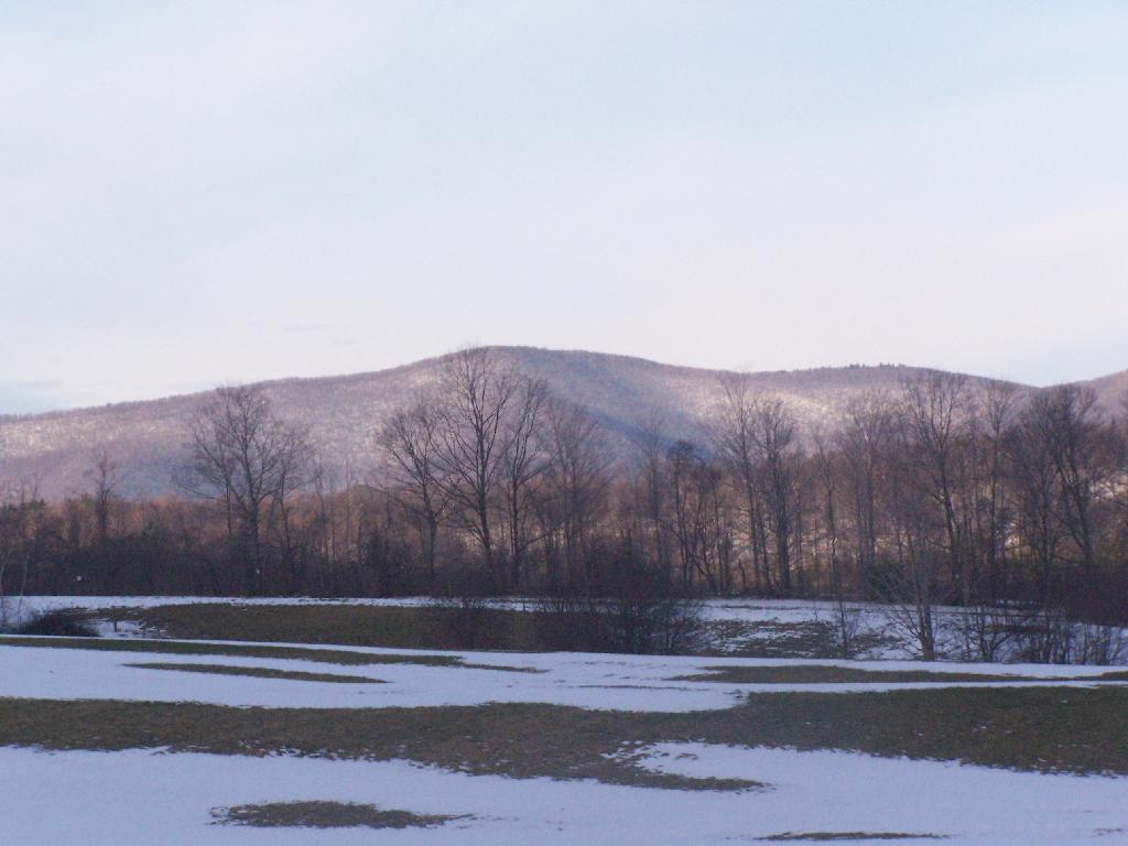
From the Hadley Farm Parking Area.
Sunday December 13, 2009 — Mount Greylock