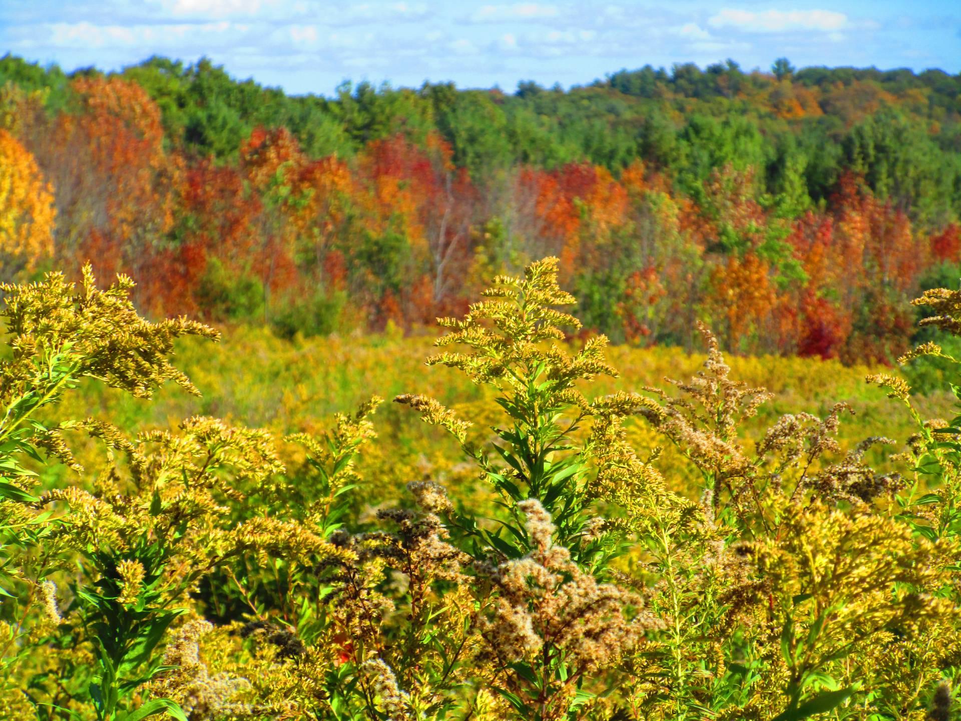
Columbia Lake State Forest

Download a High Resolution JPEG Image of the Columbia Lake State Forest or an Adobe Acrobat Printable PDF of the Columbia Lake State Forest.


Bookmark my free Interactive GPS Map for your phone:
https://andyarthur.org/ny
... shows your location as a blue dot in relationship to campsites, trails, state land. This online map requires cell service, won't work in remote country, so also bring a paper map.
Free Download of New & Historical USGS 1:24k Topograpic Maps
Interactive maps with backcountry and roadside camping: New York, Pennsylvania, West Virginia & Vermont. List of NYS DEC Lean-Tos and Firetowers.
Google Spreadsheet with Roadside, Primitive and Pay Campsites
More about Delaware County...
Delaware County is a county located in the US state of New York. As of 2010 the population was 47,980.
Delaware County is located in the southern part of the state, separated from the state of Pennsylvania by the Delaware River. It is east of Binghamton and southwest of Albany. The county contains part of the Catskill Mountains. The county is within a region called the Southern Tier of New York State.
The highest point is an approximately 3,520-foot (1,073 m) summit of Bearpen Mountain along the Greene County line. The lowest point is along the Delaware River. The county is drained by the headwaters of the Delaware. It has a hilly surface, and the soil in the valleys is exceedingly fertile. The Delaware and Susquehanna rivers are here navigable by boats.
http://en.wikipedia.org/wiki/Delaware_County,_New_York


