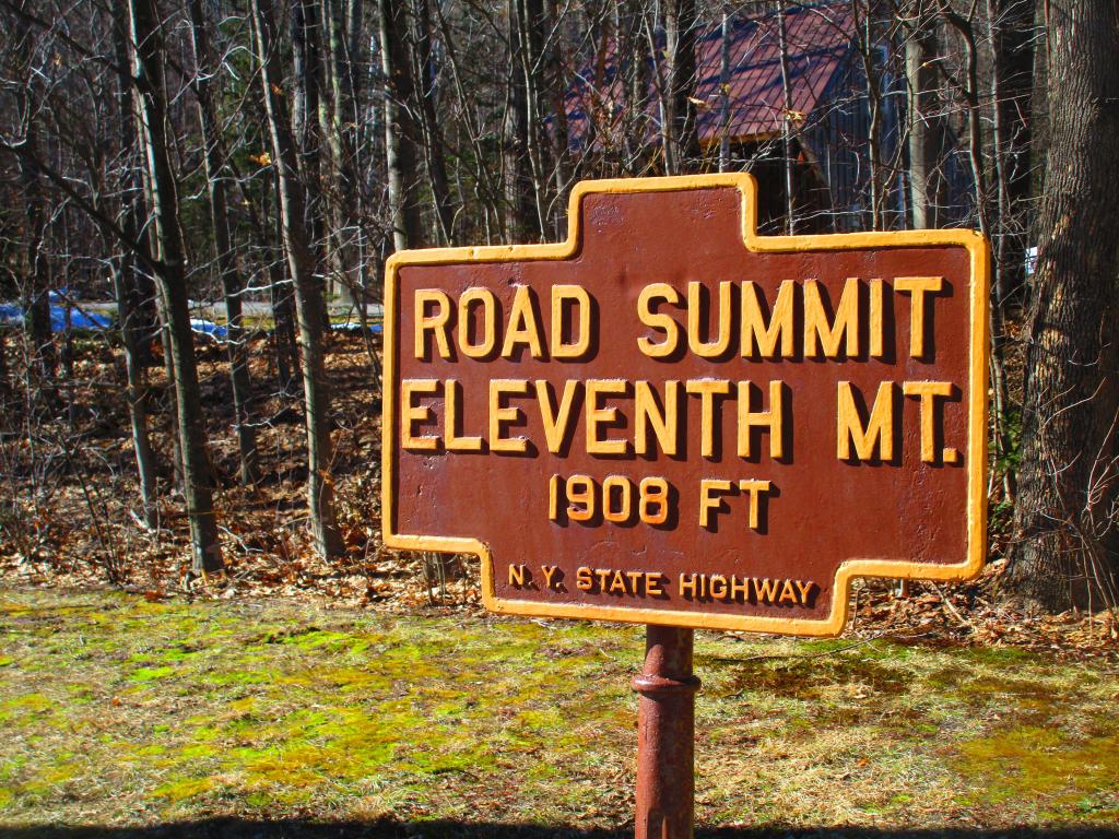
Road Summit


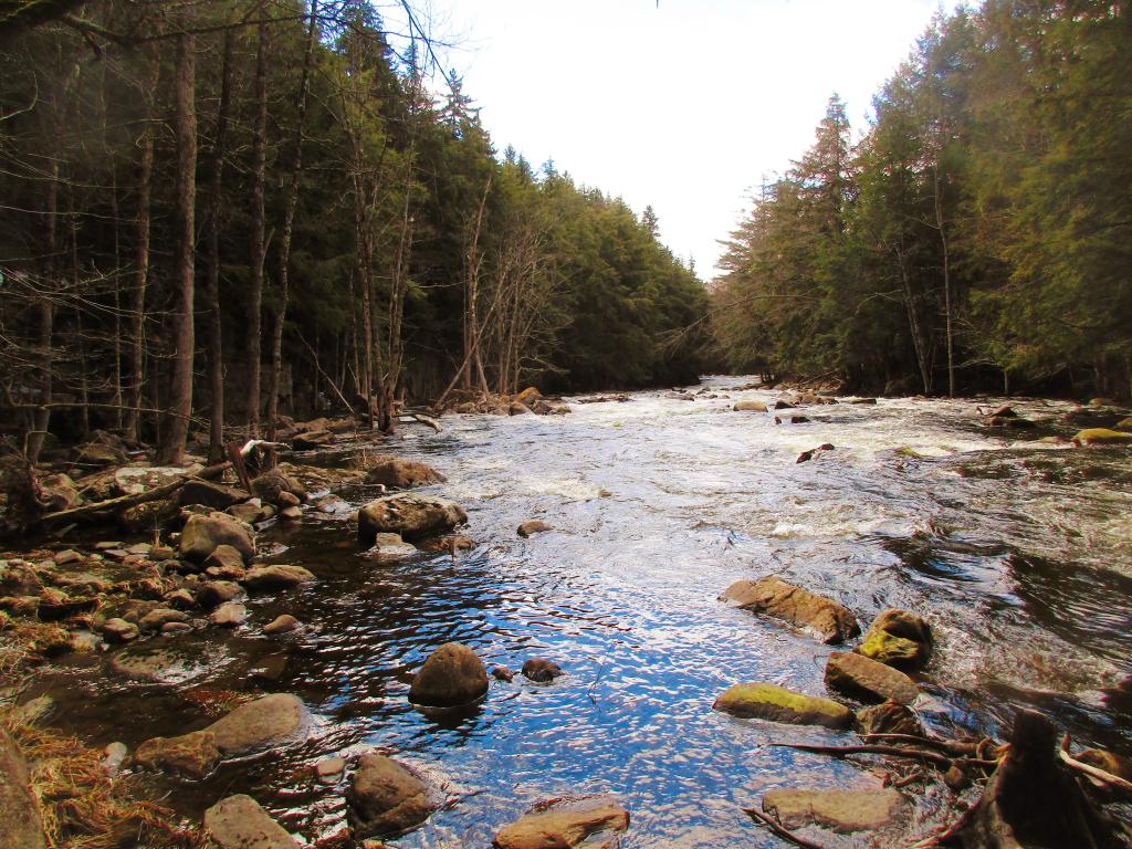
Hiking along NY 8 near the Eagle Pond Trailhead.
Saturday April 30, 2022 — East Branch Sacandaga River — Cod Pond Trailhead Camping Opporunities 🗺 — Eagle Pond Trail 🗺 — East Branch Gorge Trail 🗺 — East Branch Sacandaga River - NY 8 🗺 — Fox Lair Campsites 🗺— PDF with All Maps 📚
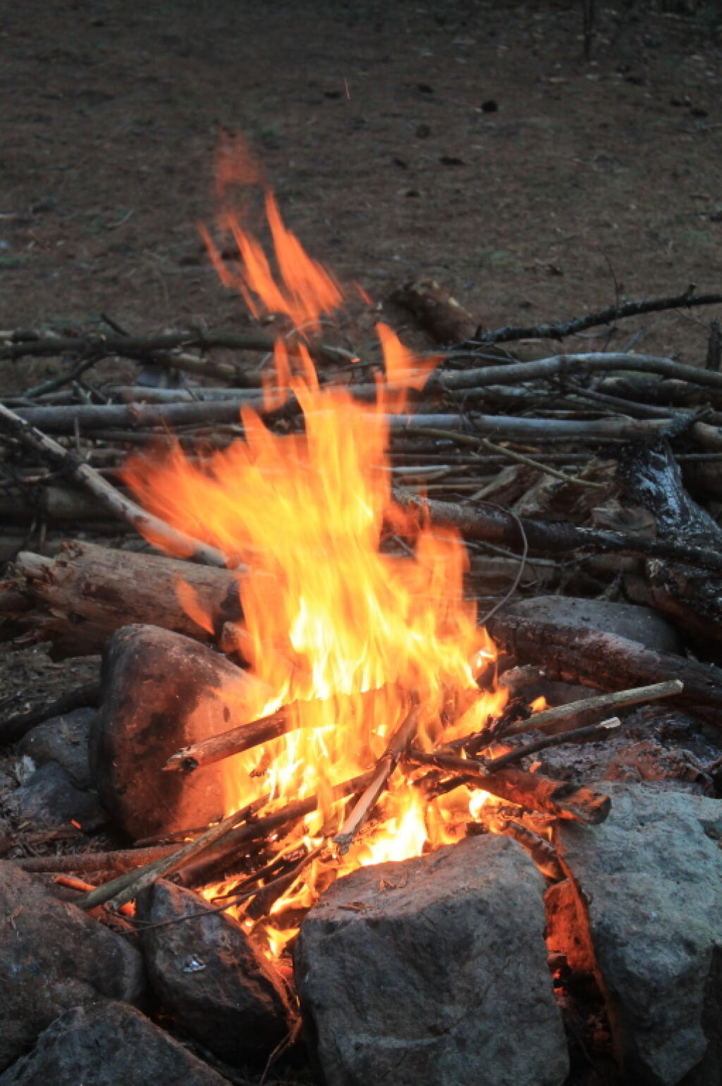
Rapids in the East Branch Gorge, as I stopped for lunch during my hike.
Saturday April 18, 2020 — East Branch Sacandaga River — Cod Pond Trailhead Camping Opporunities 🗺 — Eagle Pond Trail 🗺 — East Branch Gorge Trail 🗺 — East Branch Sacandaga River - NY 8 🗺 — Fox Lair Campsites 🗺— PDF with All Maps 📚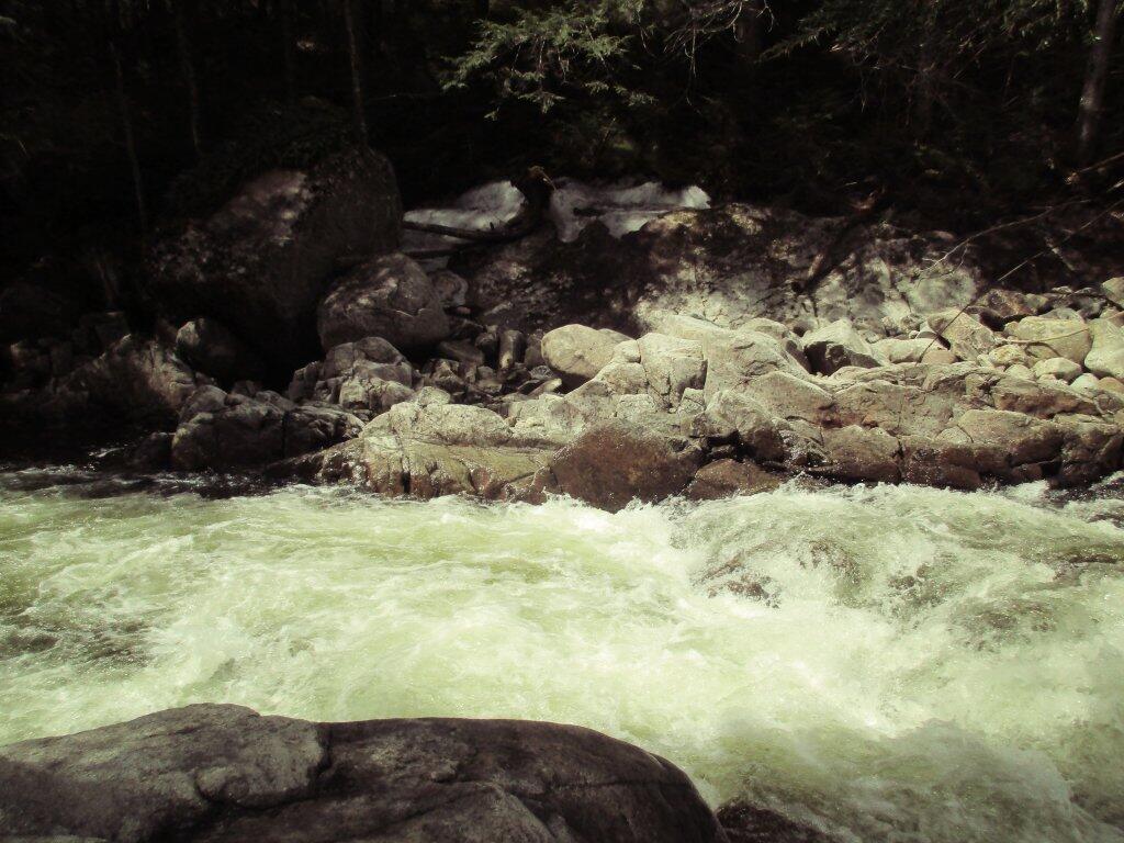

I had never been down in the gorge below Auger Falls, well at least from the East Side (bushwhack from Forks Mountain Trail).
I had walked along the Scanadaga River from the west side up Old Route 8A (now a snowmobile trail) but never hiked down from the east side all the way from the gorge. While the views are better from the west side, but from the east side (via Griffin) you almost never run into up there.
Sunday March 31, 2024 — East Branch Sacandaga River — Cod Pond Trailhead Camping Opporunities 🗺 — Eagle Pond Trail 🗺 — East Branch Gorge Trail 🗺 — East Branch Sacandaga River - NY 8 🗺 — Fox Lair Campsites 🗺— PDF with All Maps 📚