Edge


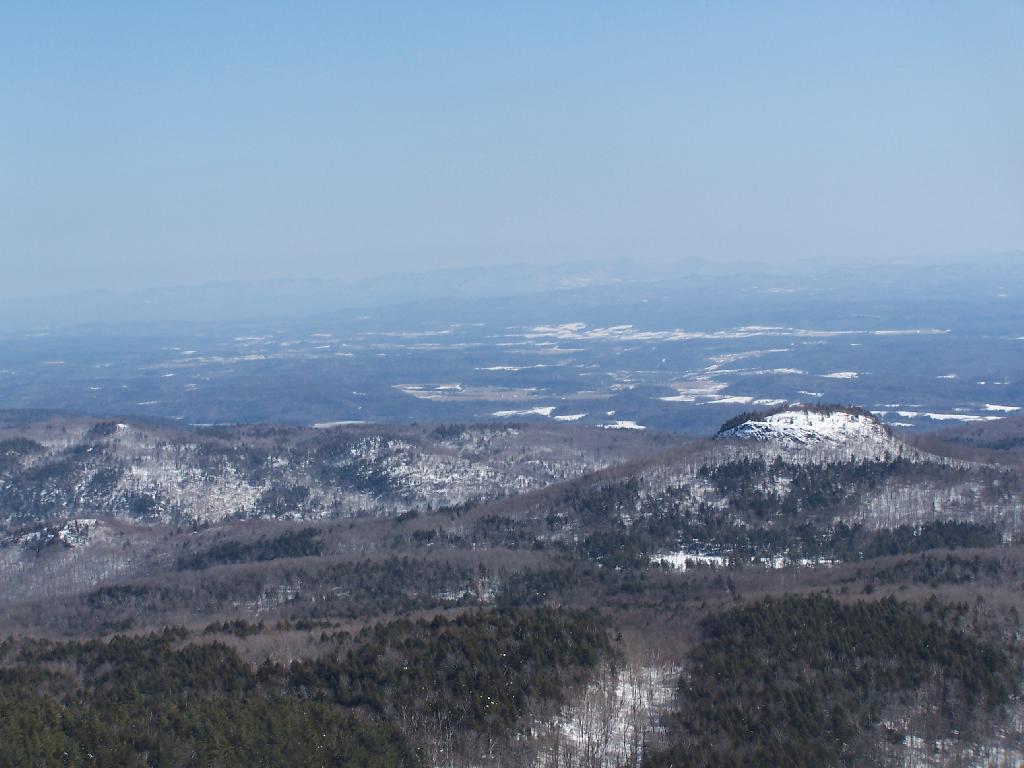
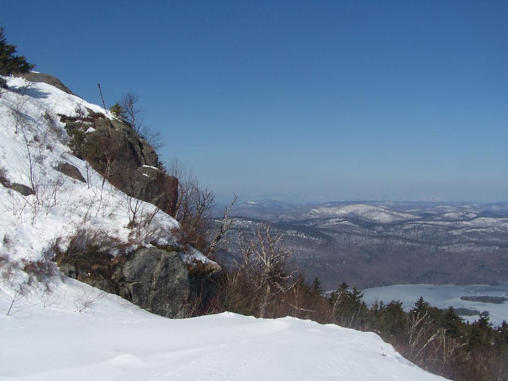
Looking east from the top of Black Mountain, at the many peaks that make up the Lake George Wild Forest. Many of these peaks are privately owned, with hunting camps on them, and some used for timber resources. Somewheres in between the peaks is Brant Lake and Horicon.
Sunday March 7, 2010 — Black Mountain — Black Mountain 🗺 — Black Mountain Loop 🗺— PDF with All Maps 📚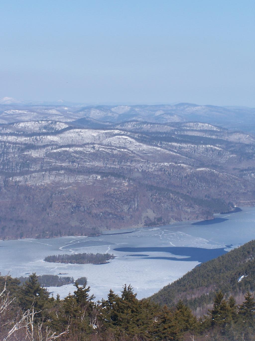
The marshy southern part of Lake Champlain is not visible in this picture due to the Bark Mountain, Sugar Loaf, and other mountains in the foreground, but beyond that is the relatively flat lands of the Lake Champlain Valley around West Haven, VT.
Sunday March 7, 2010 — Black Mountain — Black Mountain 🗺 — Black Mountain Loop 🗺— PDF with All Maps 📚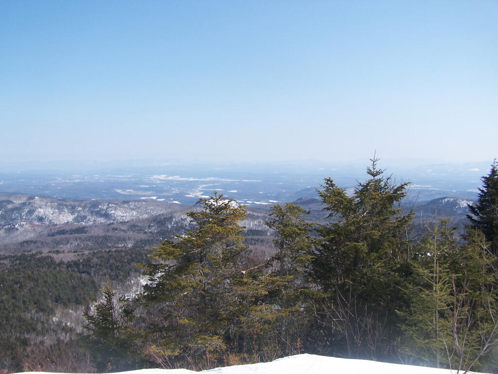

There are no views to the south of Black Mountain as the Firetower is currently closed with radio equipment on top of it. Yet, the views to the North are northing short of spectacular, looking all the way to Ticonderoga and Mount Defiance, with Lake Champlain just beyond it.
Sunday March 7, 2010 — Black Mountain — Black Mountain 🗺 — Black Mountain Loop 🗺— PDF with All Maps 📚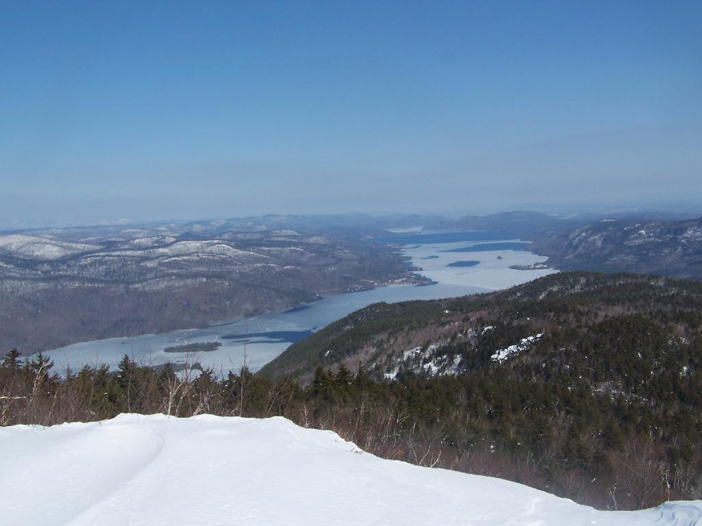

Sugarloaf is that little peak in the foreground. Drowned Lands, the lower portion of Lake Champlain can be seen in the background.
Sunday March 7, 2010 — Black Mountain — Black Mountain 🗺 — Black Mountain Loop 🗺— PDF with All Maps 📚