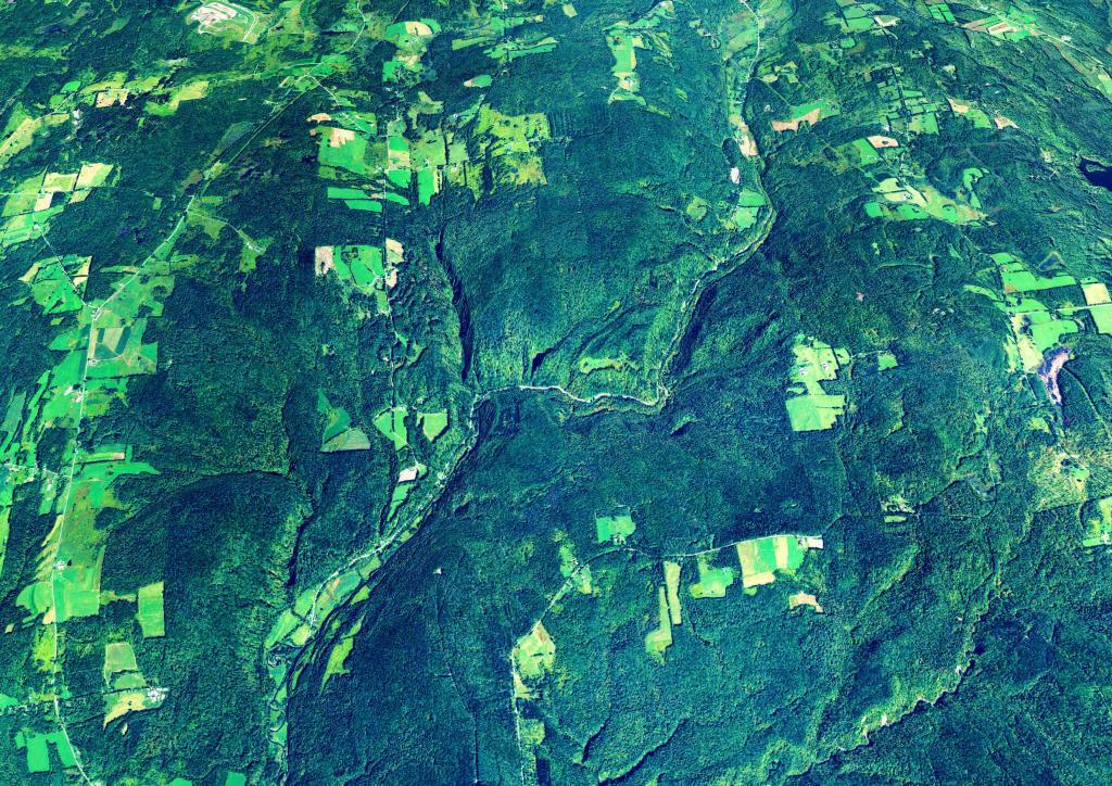
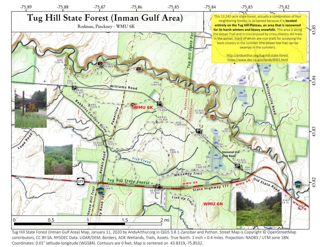
Tug Hill State Forest (Inman Gulf Area)
This 12,242-acre state forest, actually a combination of four neighboring forests, is so named because it is located entirely on the Tug Hill Plateau, an area that is renowned for its harsh winters and heavy snowfalls. This area is along the Inman Trail and is criss-crossed by cross country skil trails in the winter, many of which are nice trails for accessing the back country in the summer (the power line trail can be swampy in the summer).

![Untitled [Expires April 9 2025]](https://andyarthur.org//data/photo_016876_large.jpg)

Pixley Falls-area
The Black River Canal once wound through that gorge that is now home to Pixley Falls State Park. The state owns most of the land on the forested hills around the gorge.