Evening on Mount Raimer


This section happens to be in Massachussets, and under the control of Williams College / Hopkins Memorial forest, with the most delightful little bridges to cross the muddy section.
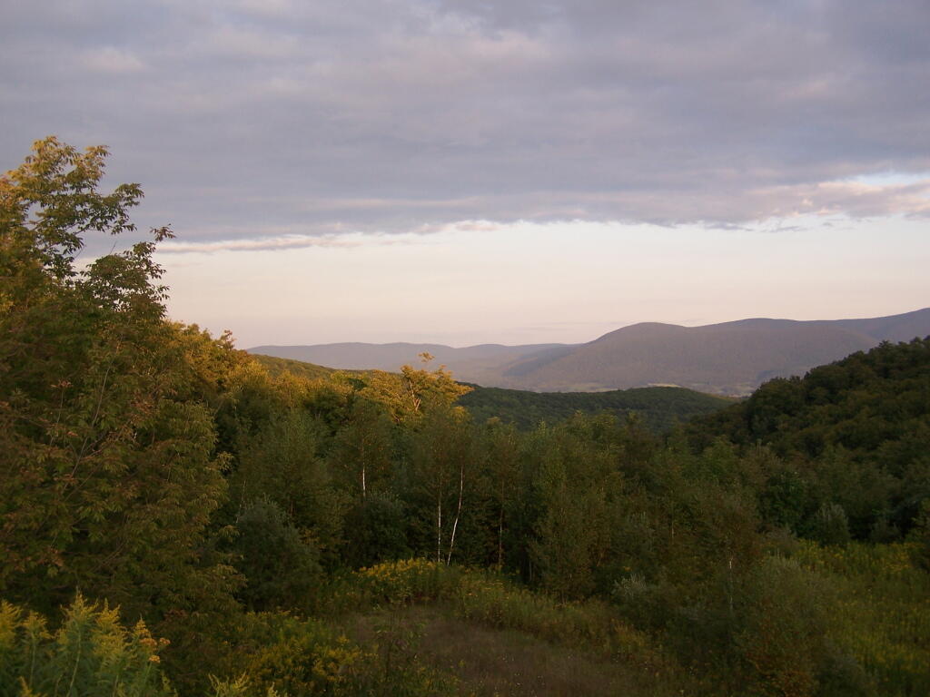
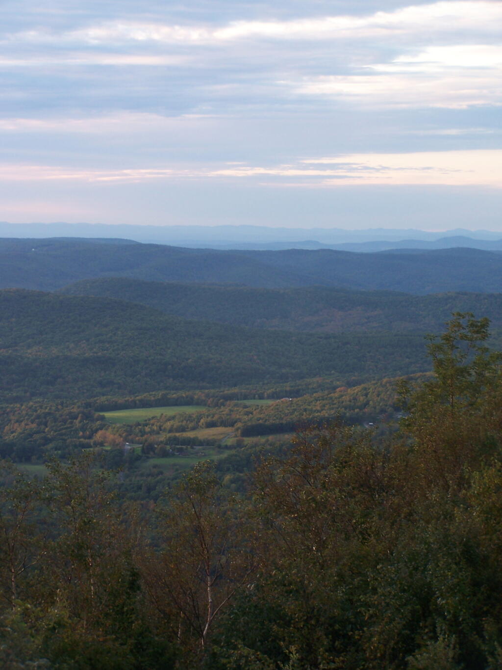
Saturday September 5, 2009 — Taconic Crest Trail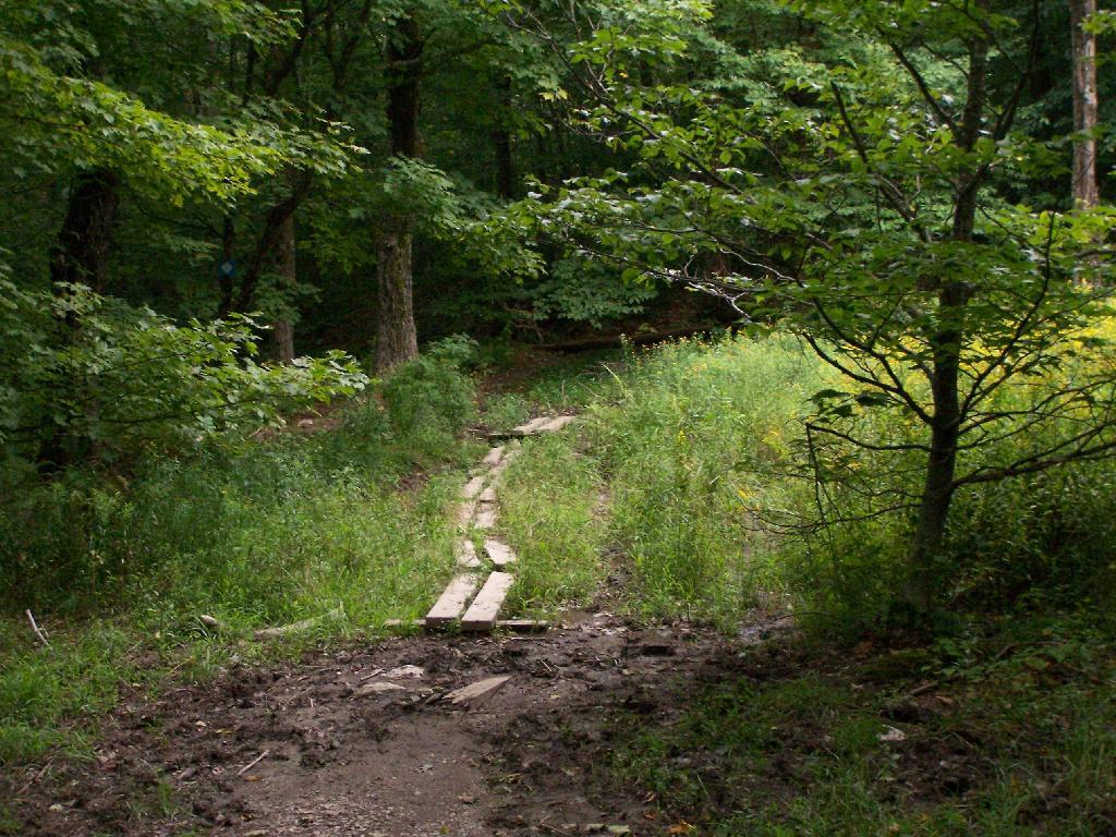

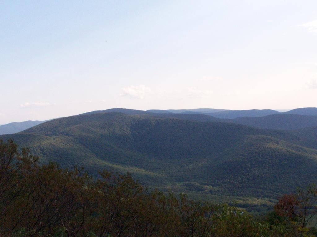
From atop Berlin Mt.
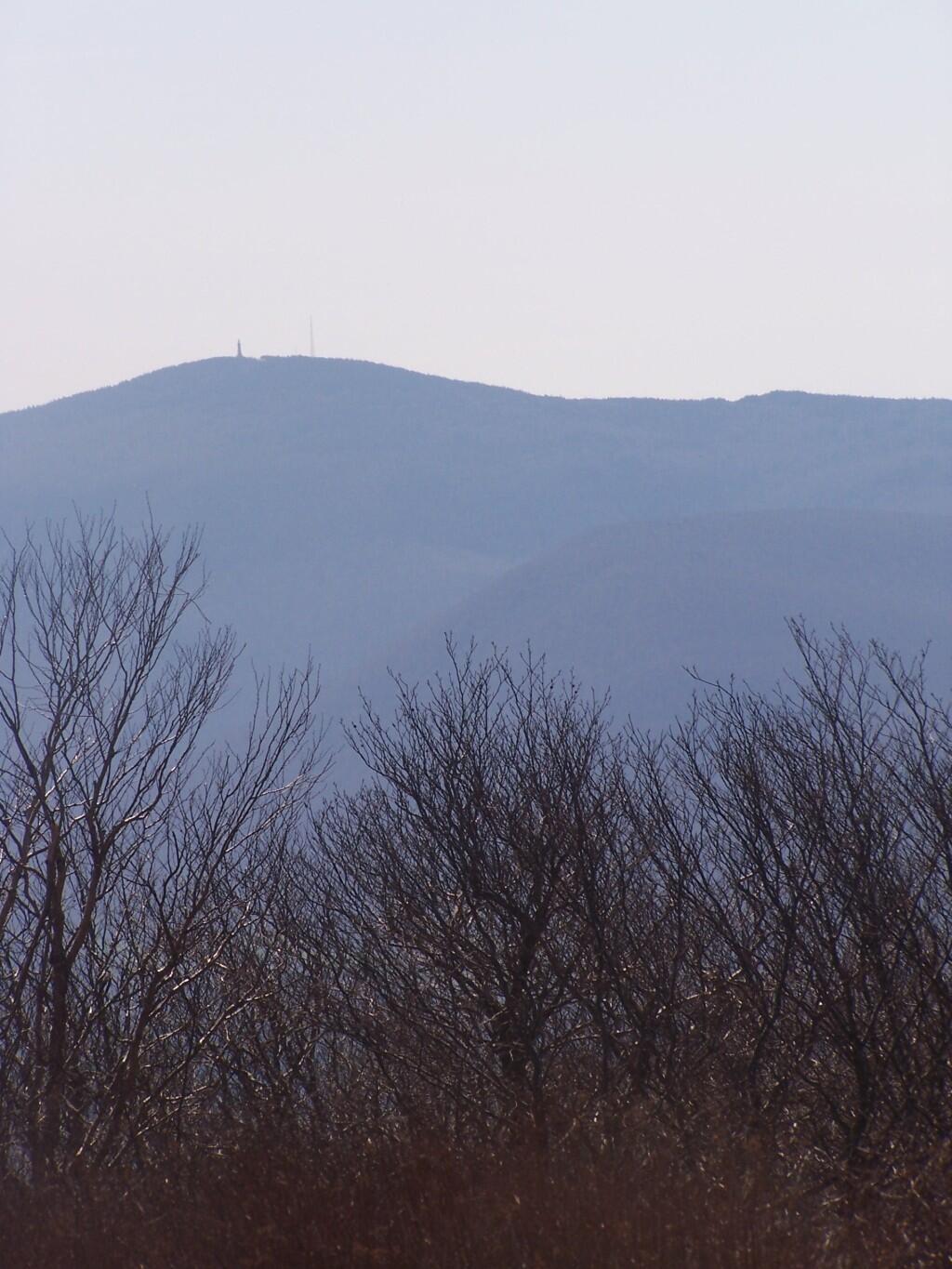
Saturday April 25, 2009 — Taconic Crest Trail