Towards Mt Morris
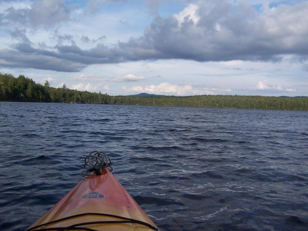
Paddling across Horseshoe Lake. As you can see, the land around here is very flat, former timber country. In the distance is Mount Morris, near Tupper Lake.
Thursday August 12, 2010 — Horseshoe Lake — Horseshoe Lake 🗺

Paddling across Horseshoe Lake. As you can see, the land around here is very flat, former timber country. In the distance is Mount Morris, near Tupper Lake.
Thursday August 12, 2010 — Horseshoe Lake — Horseshoe Lake 🗺

This picture can't even reflect the beauty of this portion of Bog River Flow.
Friday August 13, 2010 — Hitchens Pond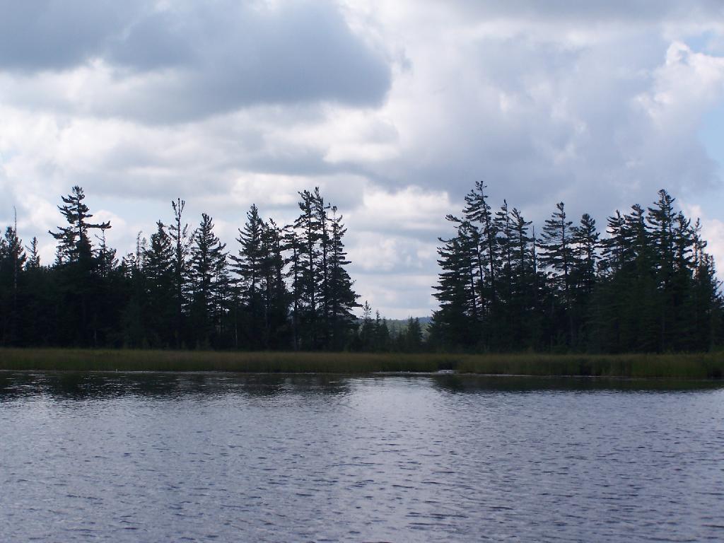
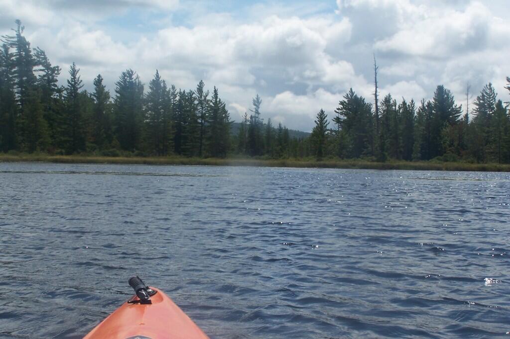

Paddling up the "flooded" Bog River, in the lower portion of Bog River flow, right above the Lower Lows Dam. If this area was not flooded by dams, it would be rapids, unaccessible by canoe or kayak.
Friday August 13, 2010 — Hitchens Pond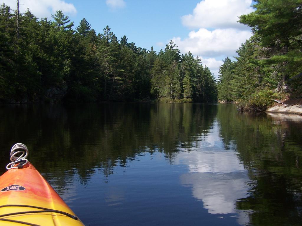

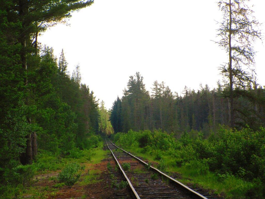
On Tuesday night, I walked along the Adirondack Scenic Railroad Tracks, which get little use since last year's wash out by Rollins Pond. The tracks were quiet, as they wandered through the wilderness. I saw a black bear and cubs, and not being sure if I locked up my truck fully, I headed back to camp after walking out about 20 minutes on the tracks.
Tuesday June 23, 2020 — Bog River Flow — Bog River and Winding Falls Trails 🗺 — Bog River Trail 🗺— PDF with All Maps 📚