New York State 📍

New York is a state in the Northeastern region of the United States. New York is the 27th-most extensive, the 3rd-most populous, and the 7th-most densely populated of the 50 United States. New York is bordered by New Jersey and Pennsylvania to the south, and by Connecticut, Massachusetts and Vermont to the east. The state has a maritime border with Rhode Island east of Long Island, as well as an international border with the Canadian provinces of Ontario to the west and north, and Quebec to the north. The state of New York is often referred to as New York State to distinguish it from New York City.

Download the PDF Map Pack
🗺️ Maps 🖼️ Photos 📽️ Videos
SVGZ Graphic: Albany County Non-Contigous Cartogram

Sacandaga Primitive Area – Whitehouse Campsites

The DEC recently GPS'd the various designated campsites at Whitehouse area of the Sacanadaga Primitive Area along West River Road in Wells. This provides a pretty accurate map of the various campsite locations. West River Road isn't open to motor vehicles yet, but will open later in May once the frost is out of the ground and the dirt road isn't too soft.
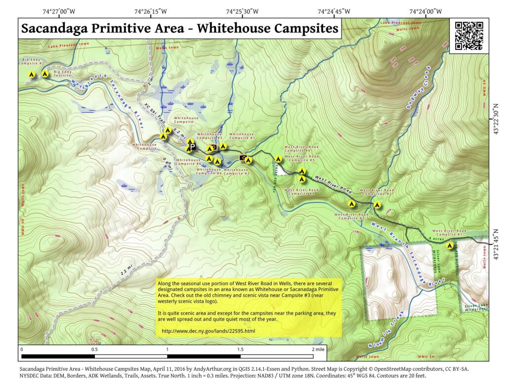
 Sacandaga Primitive Area - Whitehouse Campsites

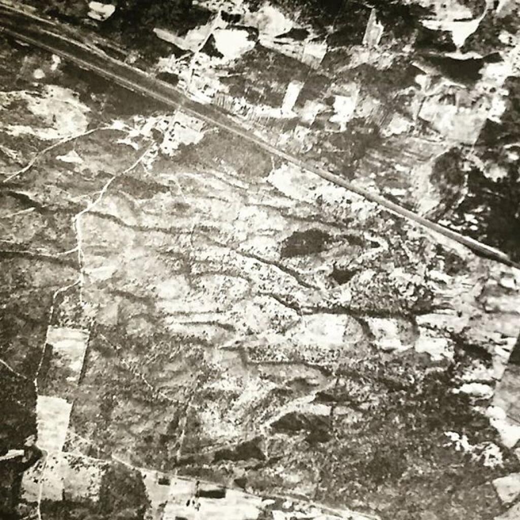
Thematic Map: Pine Bush 1927
Map: Hawkins Pond State Forest And County Park
Map: Severence Hill Trail