Main Street Amsterdam
As seen from the Amsterdam Pedestrian Bridge.
Sunday April 27, 2025 — Erie Canal

As seen from the Amsterdam Pedestrian Bridge.
Sunday April 27, 2025 — Erie Canal

Sunday April 27, 2025 — Erie Canal

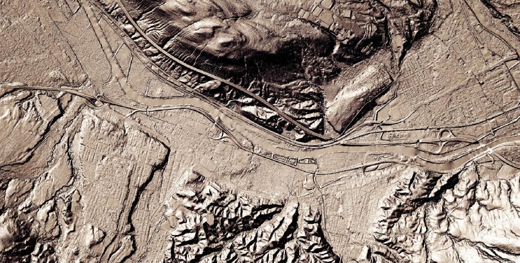
I always find driving the part of the Thruway around Illion to be the most fascinating. It's an interesting mix of geologies as you rise from the end of the Mohawk Valley into the Onieda Lake plains - the mucky farm country with many a swamp and arces of fertile black dirt.