Thruway Interchange
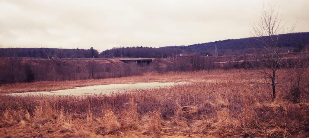
Wetlands created to promote wildlife conservation and make up for lost wetlands when they re-did Exit 5 of the Adirondack Northway.
Saturday January 27, 2024 — Erie Canal

Wetlands created to promote wildlife conservation and make up for lost wetlands when they re-did Exit 5 of the Adirondack Northway.
Saturday January 27, 2024 — Erie Canal

Here is the Mohawk Valley with the National land Cover Dataset layer on. The area around the valley is quite agricultural, but once you head north a few miles it becomes quite forested.

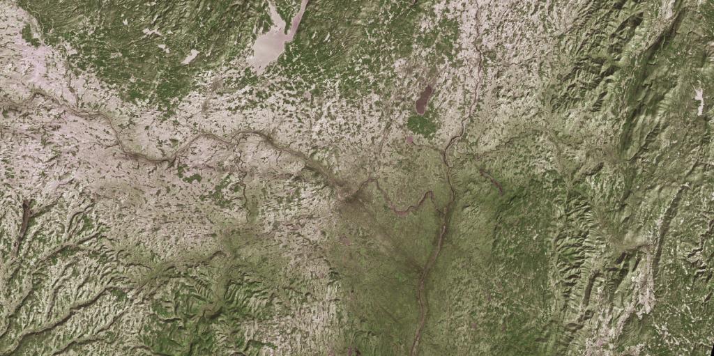
Monday, January 8, 1973 after a snow storm that most impacted the higher elevation areas south of Adirondacks. LANDSTAT 1 satellite photo shown in 3D mode -- the LANDSTAT data going back to 1972 is all geo-referenced so it's super easy to play with it.
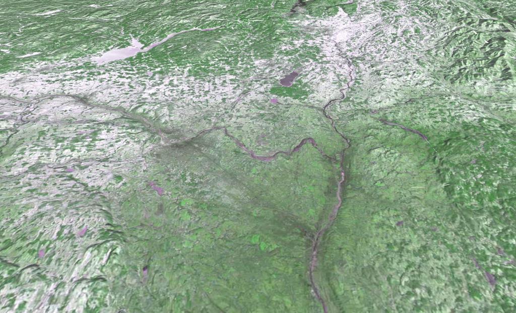

Monday, January 8, 1973 after a snow storm that most impacted the higher elevation areas south of Adirondacks. LANDSTAT 1. And yes, as you can see, the old LANDSTAT imagetry is geoReferenced. Neat!

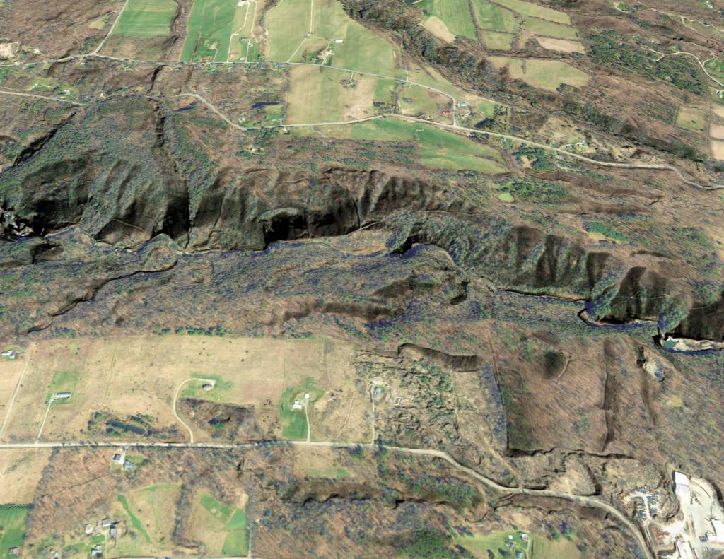
Outside of Sprakers, New York.