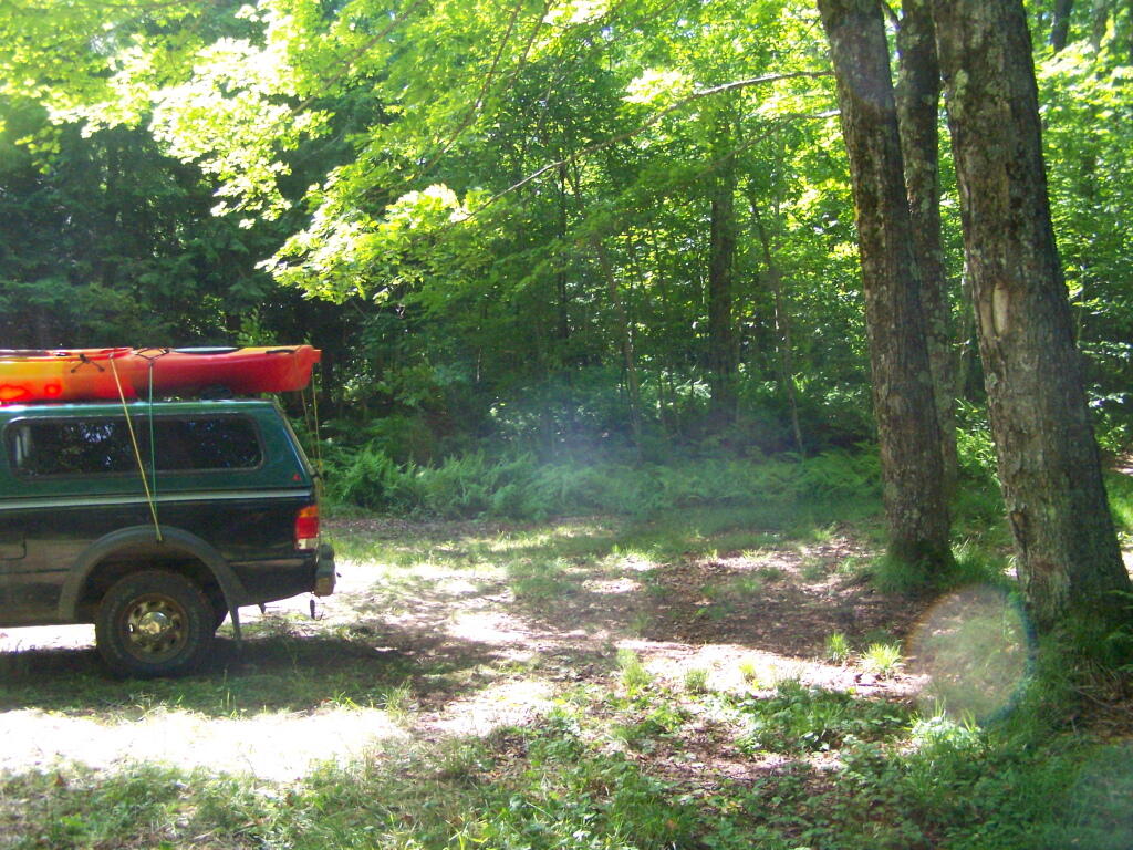
All Packed Up Again
Now it's off to Watson's Triangle.
Thursday June 30, 2011 — Smith Road — Smith Road 🗺
Now it's off to Watson's Triangle.
Thursday June 30, 2011 — Smith Road — Smith Road 🗺
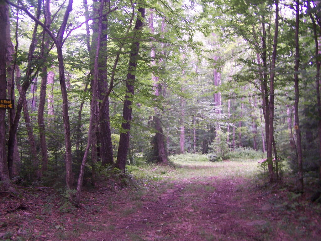
While this area is pretty remote, I could still smell the cow manure from the Black River Valley, at least when when air pressure was rising.
Thursday June 30, 2011 — Smith Road — Smith Road 🗺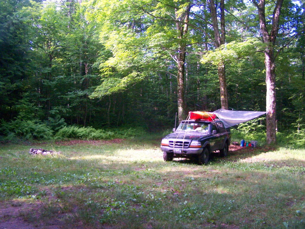


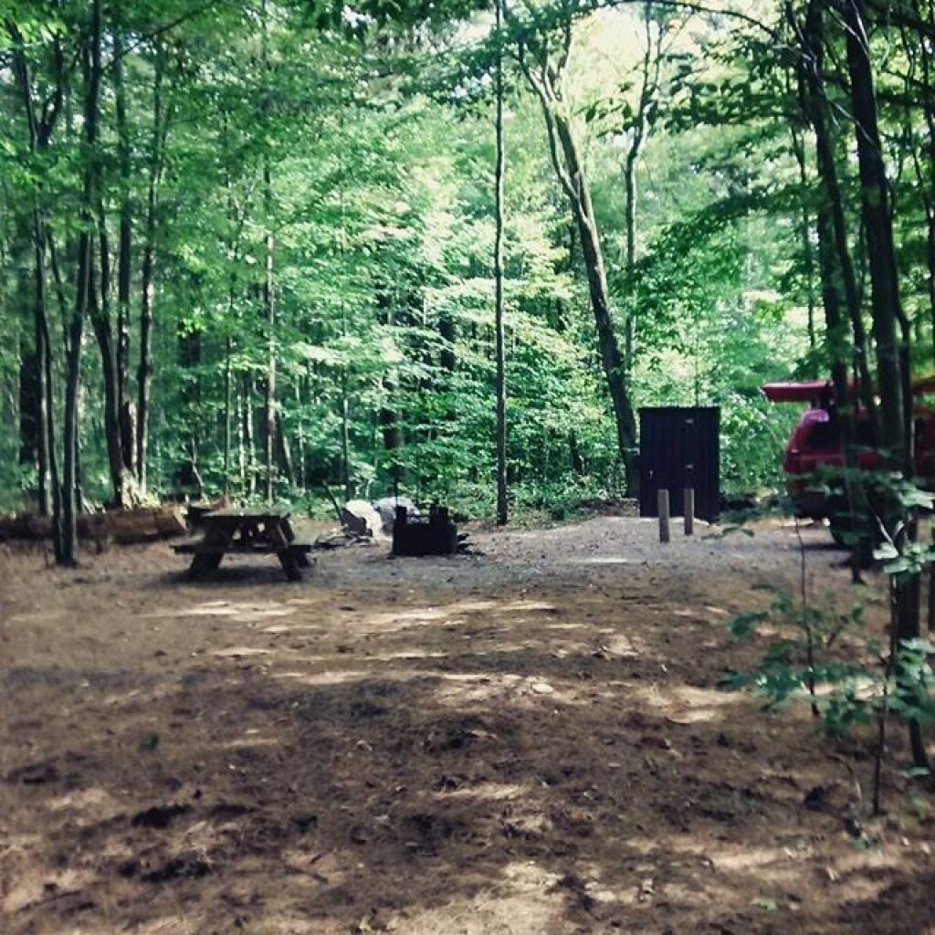
Here it is. No facilities, but there is a stone fire pit, and a nice big grassy campsite. They regularly mow these campsites to keep them from reverting back to woods.
Tuesday June 28, 2011 — Smith Road — Smith Road 🗺