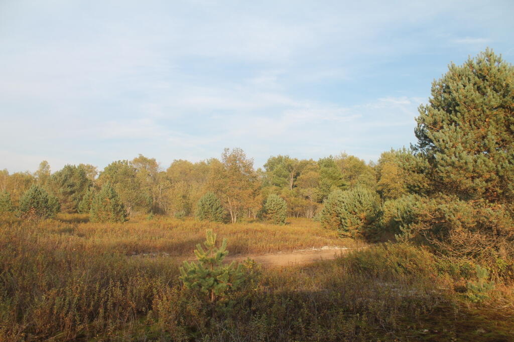
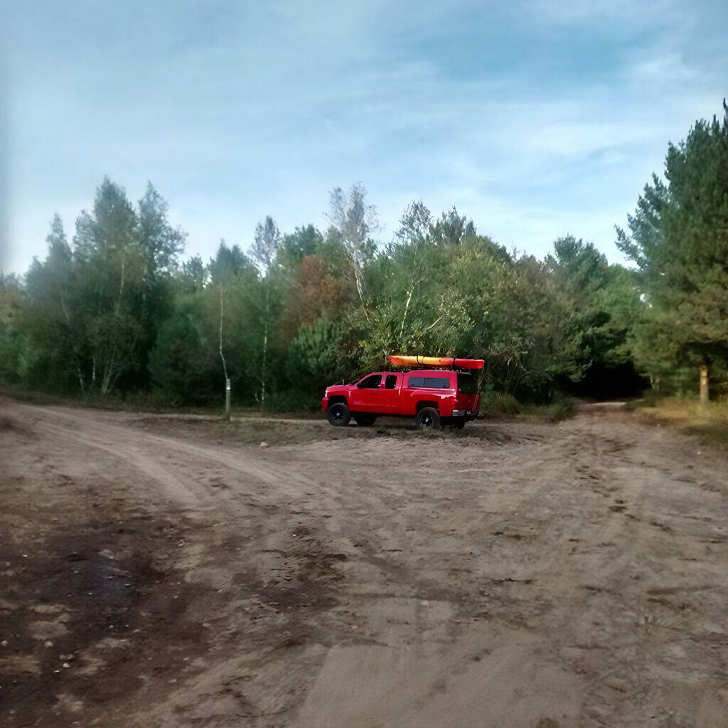
Looking Out Into Confusion Flats


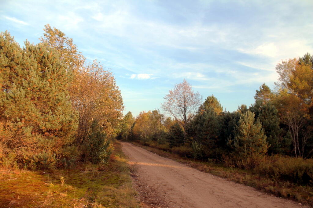

Now it's off to Watson's Triangle.
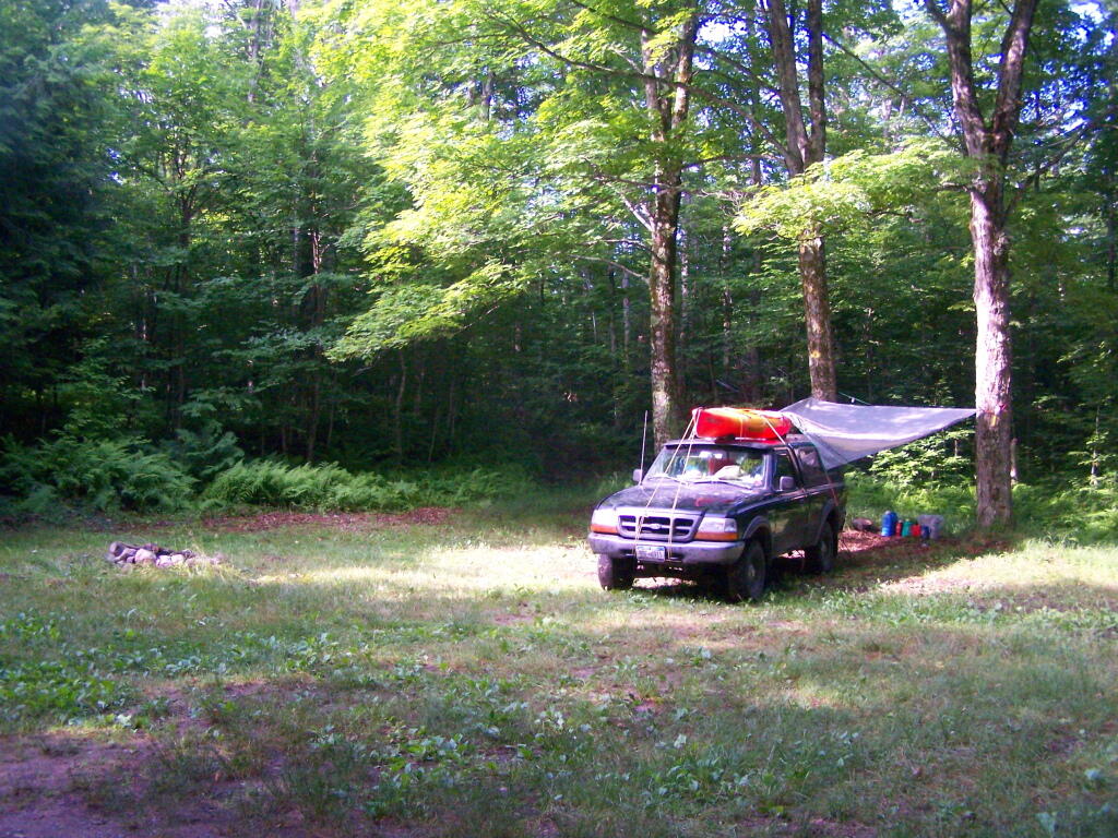
Thursday June 30, 2011 — Smith Road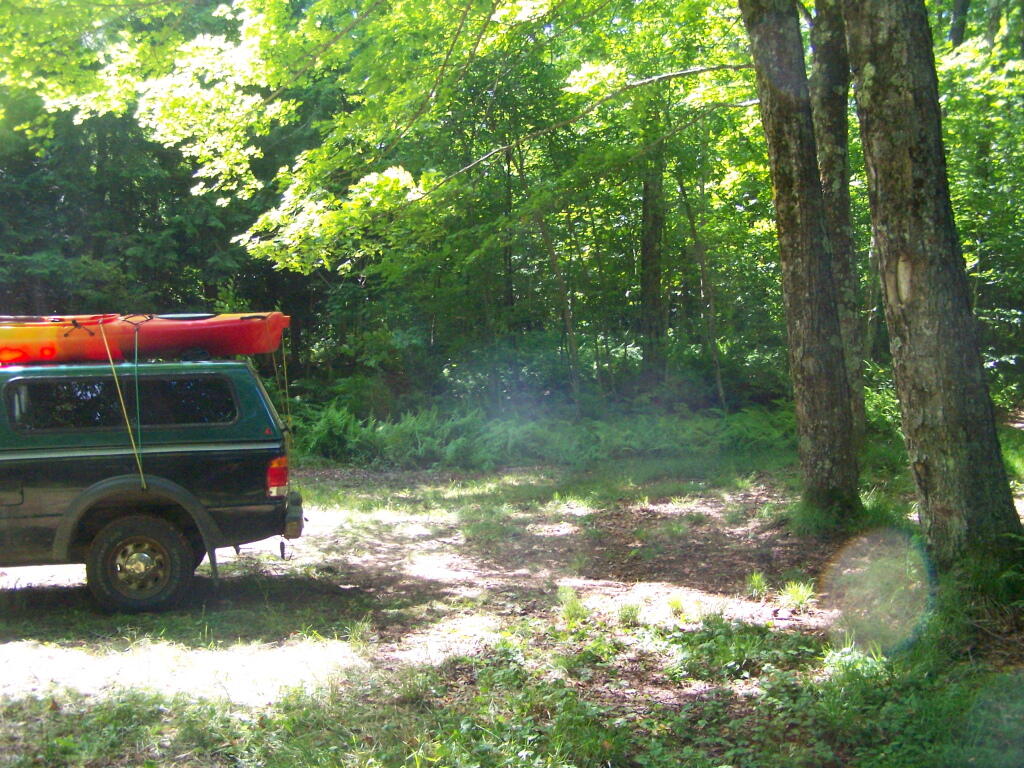

While this area is pretty remote, I could still smell the cow manure from the Black River Valley, at least when when air pressure was rising.
Thursday June 30, 2011 — Smith Road