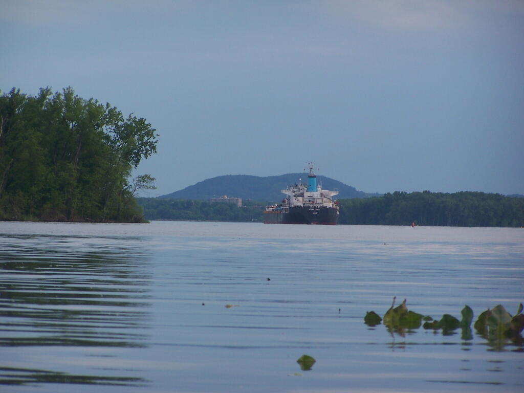
20 Minutes Later Watching Freighter Go Downstream
Due to the incredible wake those large freighters make, and to conserve energy, they move very slow on the Hudson River.
Saturday June 4, 2011 — Hudson River Islands State Park

Due to the incredible wake those large freighters make, and to conserve energy, they move very slow on the Hudson River.
Saturday June 4, 2011 — Hudson River Islands State Park
I have no idea what that wooden structure is at the end of the point, but the river is so shallow here, that especially at low tide, you'll bottom out your kayak. Gays' Point has about 20 campsites on it, all grouped together along the eastern side, that is deep enough for most power boats to more within 20 feet of the shore.
Saturday June 4, 2011 — Hudson River Islands State Park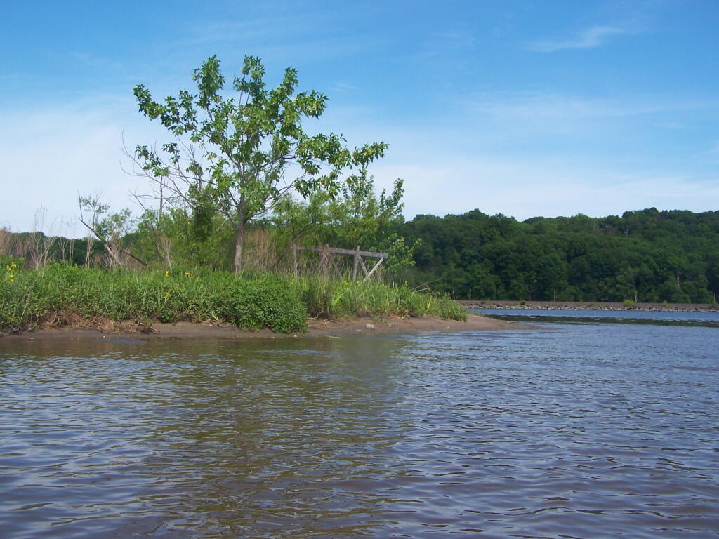

There are many outfalls into the the Hudson River. This one is likely for the storm drains in North Albany, but it sure smelled like raw sewage. There must be an overflow into here, or sewer lines are tapped untreated into the the Hudson River.
Saturday May 7, 2011 — Kayak the Hudson

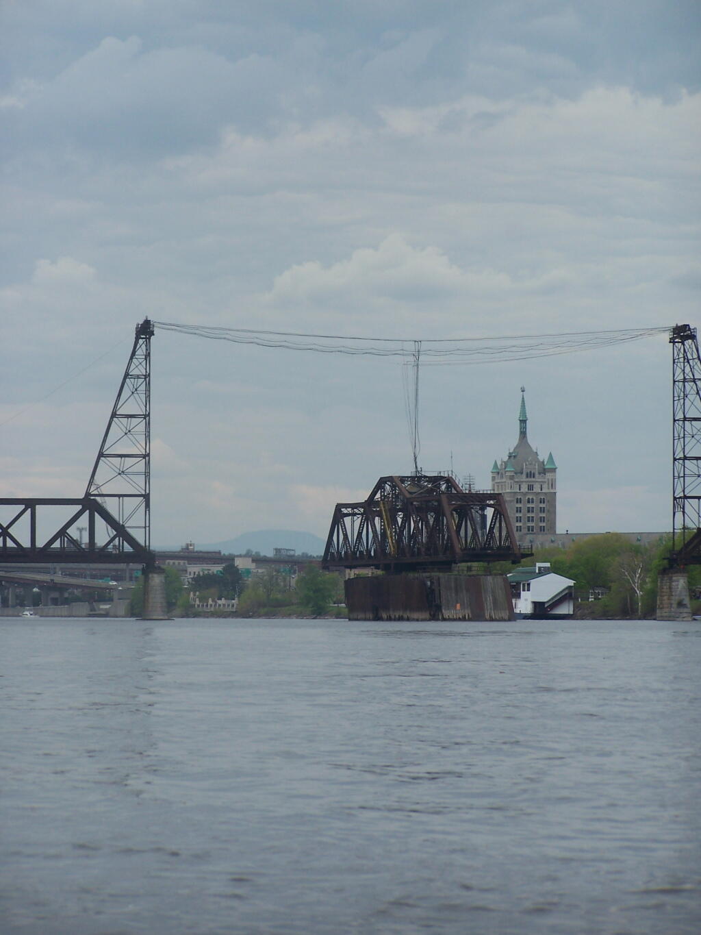
Evidently, after passing the bridge, the boat went right, and I also went right, so we did not collide.
Sunday May 8, 2011 — Kayak the Hudson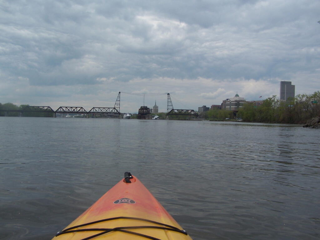

The boat is just out of the frame.
Sunday May 8, 2011 — Kayak the Hudson