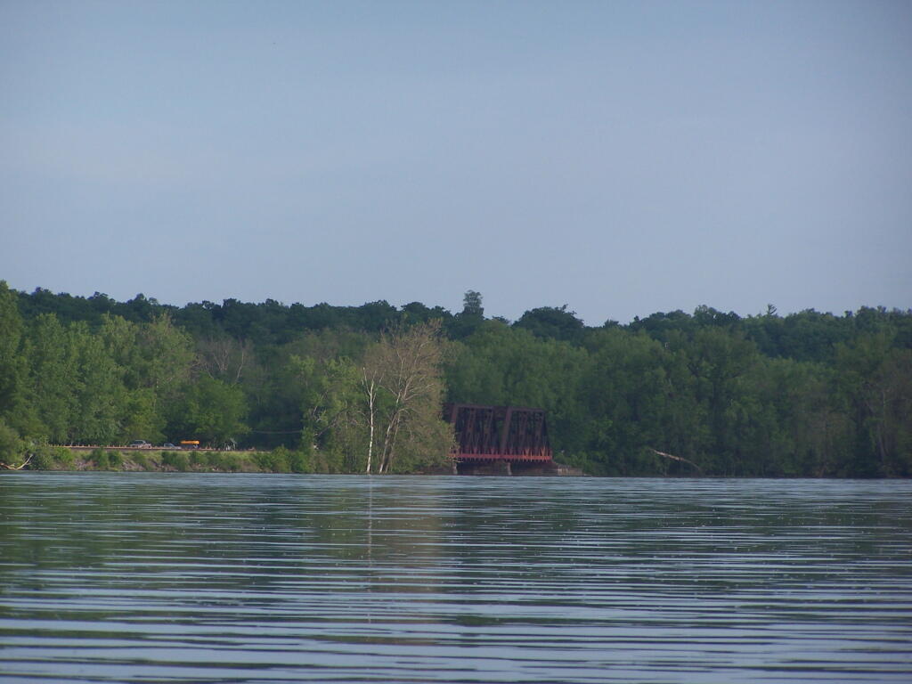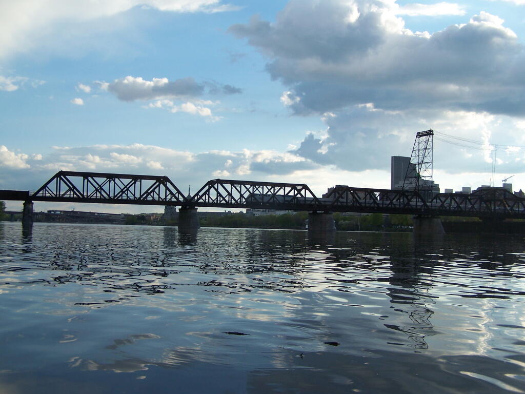
Train Crossing the River
On the Livingston Avenue Railroad Bridge ...
Saturday May 7, 2011 — Kayak the Hudson

On the Livingston Avenue Railroad Bridge ...
Saturday May 7, 2011 — Kayak the Hudson

With the SUNY Building in the background, along with the famous Blackhead Range of Mountains in Catskills, and Windham High Point, all mountains I have hiked in the past.
Saturday May 7, 2011 — Kayak the Hudson

There were a lot of them along the mud cliffs of Barett Winnie Road.
Saturday May 19, 2012 — Kayak the Hudson
Looking North towards Cosxackie.
Saturday June 4, 2011 — Hudson River Islands State Park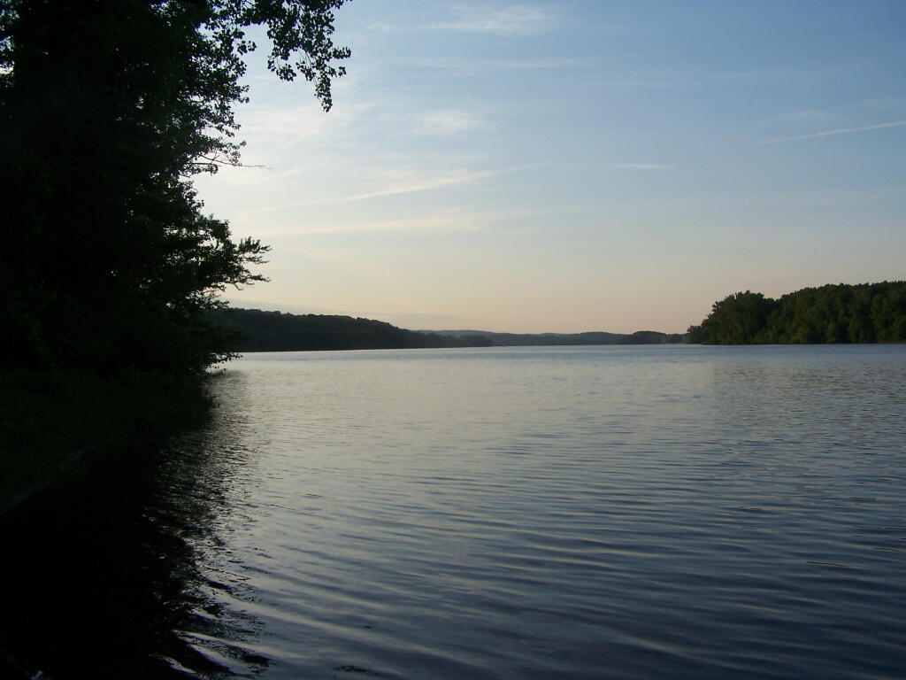

Also there is a popular state kayak put in and boat launch. Many people kayak around Middle Stockport Island from this point rather then come in from Coxscakie to avoid crossing the main channel of the river, that can be awful choppy and full of motorboat traffic.
Saturday June 4, 2011 — Hudson River Islands State Park