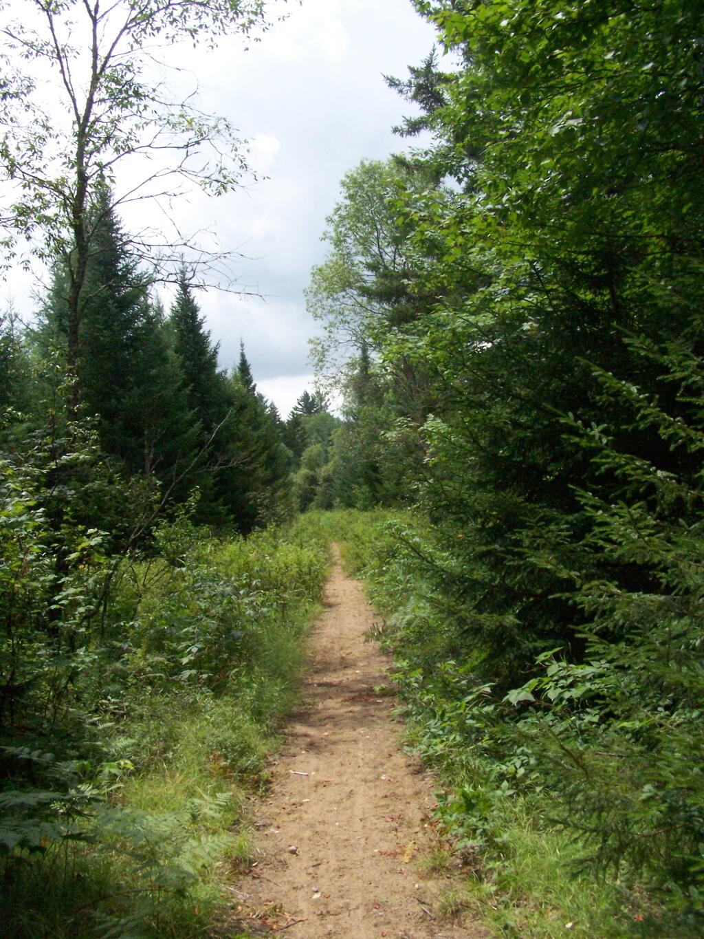
Lost Ponds Trail


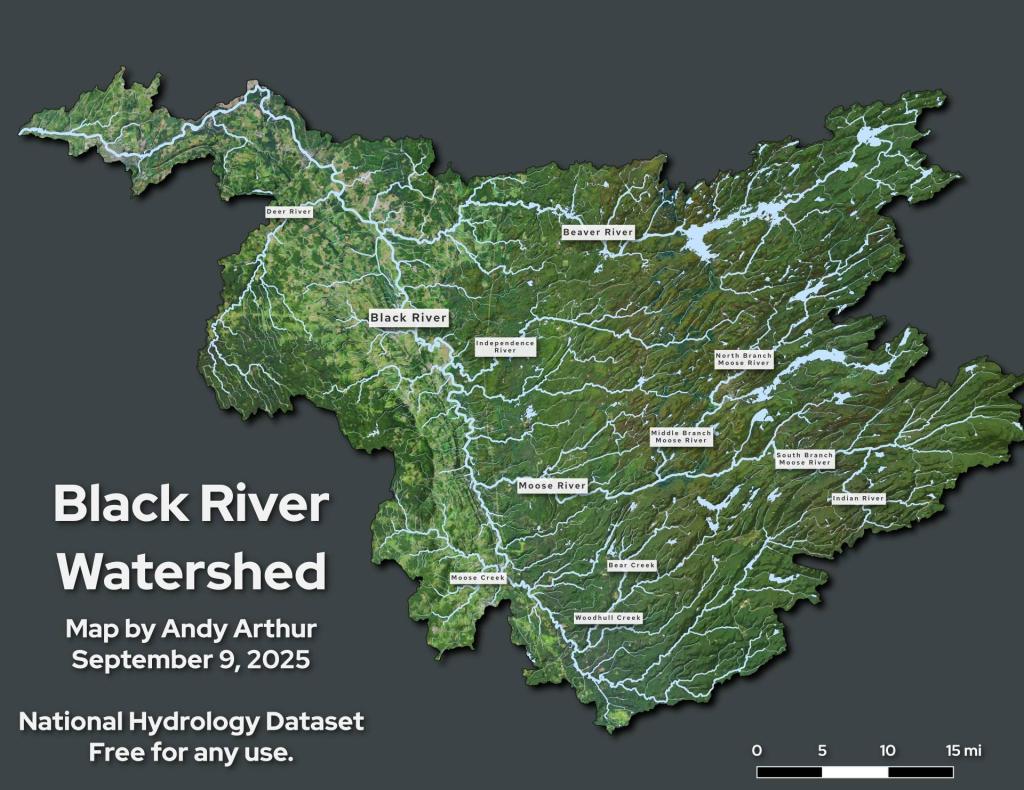
When I was a younger man, back in my 20s, I used to come up to Moose River Plains a lot. It seems like a wilderness wonderland, so vast and so much to do and see. But it was that vastness that kind of put me off – you literally spent half of your time in your pickup navigating those rough as shit roads – as everything was much too far to walk.
The Moose River Plains road system is roughly 35 miles of in some parts quite bumpy and jarring on your shocks roads. The last five years of driving Big Red, the lift kit just made the ride feel like complete shit and I worried about things breaking up here, like had happened with my Ford Ranger I had before Big Red – the broken tailpipe hanger, the failed brake line. The lift kit just seemed to put a lot stress at least in my mind on Big Red, and despite the much higher ground clearance always made me weary of getting too far onto the rough roads. Maybe it was just paranoia.
Still the truth is that Moose River Plains is just so spread out – 35 miles at 15 MPH is a long drive regardless. And while some of the trails and ponds are nice, Wakely Mountain has great views and Cedar River nice paddles, after you do them a few times, it becomes more of the same. While Moose River Plains has lot of campsites, many are not the true wilderness campsites you find in other roadside camping areas, where each site is a 1/4 mile or farther between. Where you don’t have to worry about annoying people as much with loud music, potentially stinky fires or shooting guns. Some MRP sites are farther apart, but many are grouped close together.
For weekend trips, Piseco-Powley just is much closer to home, less driving, fewer bumps. The Potholers are a summer treat, as is floating on the East Canada Creek. Good paddling there, and not too far from there is Stewart Landing and Lily Lake. Not as wilderness but easy to do on a weekend trip. Moose River Plains is better for an extended stay, though that requires long trips on that bumpy road to Inlet or Indian Lake for ice and other supplies. And that kind of sucks, driving those washboarded roads for seeming long hours.

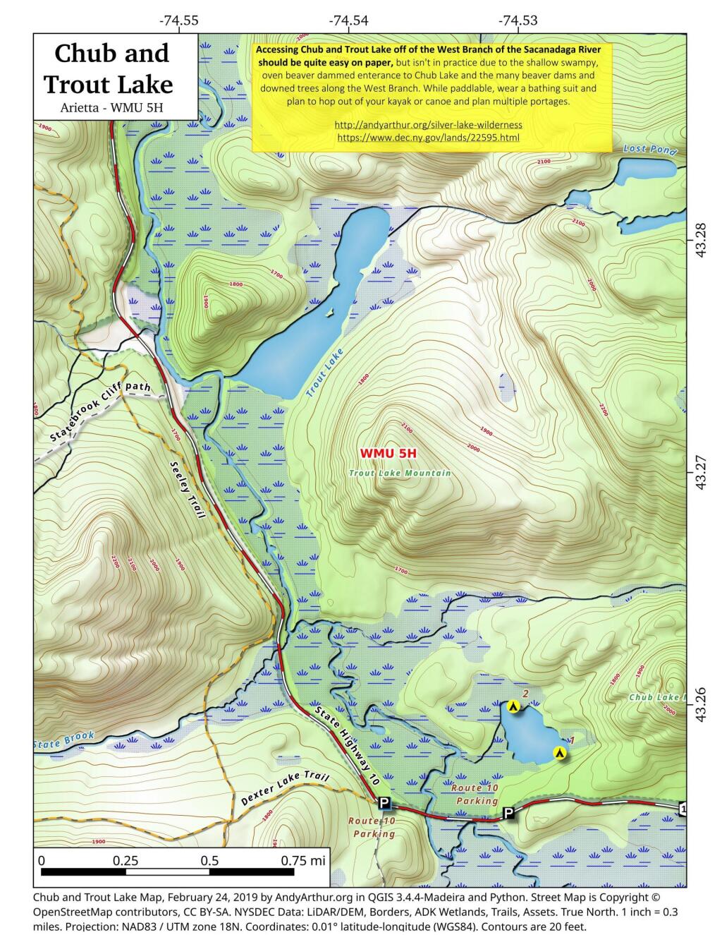
Chub Pond and Trout Lake in principle should be relatively easy to access, they as they are just a little ways from the put in used to access Good Luck Lake. Unfortunately, the West Branch of the Sacanadaga River has numerous strainers and down trees, and streams that flow out out of both Chub Pond and Trout Lake are narrow, shallow, and often impassable in times of low water. They also are very marshy along the shoreline, which can make it challenging to portage around the shallow water.
Or is it Sqauw Lake like the DEC still uses on it's signs.
