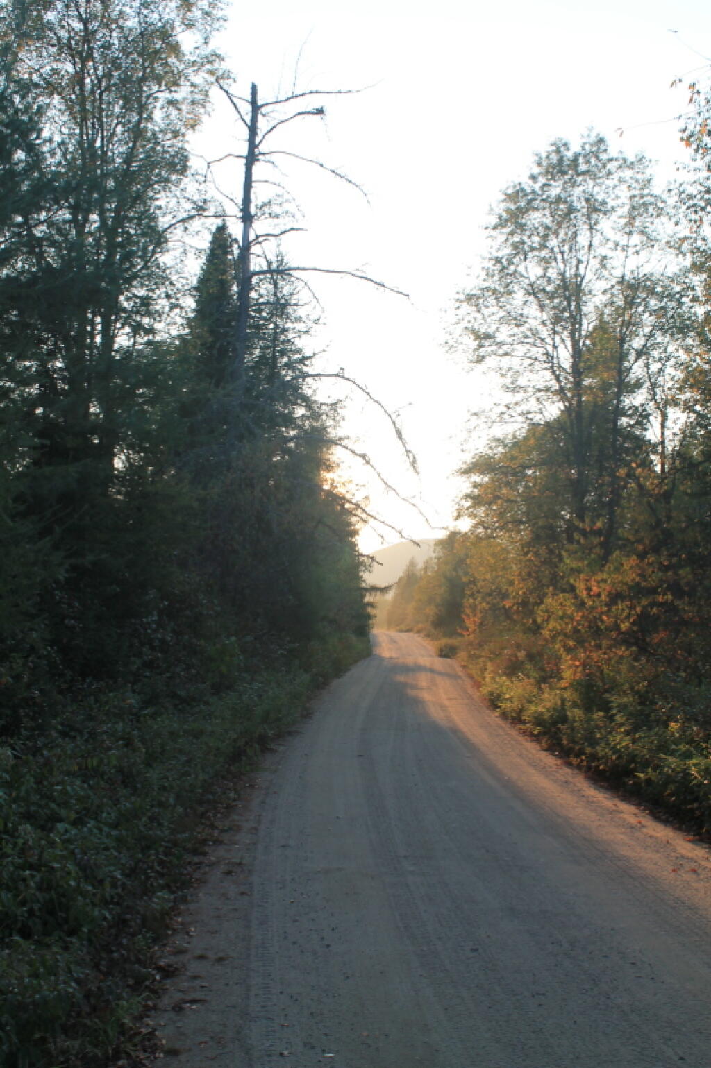
Walking Along the Road


This is campsite two, with the picnic table and fire pit. The outhouse is across the road, and shared between several sites. I didn't find it until I had already dug a cat hole for taking a shit, and burning the toilet paper. The campsite is abutted by the Silver Run (creek).
Friday September 3, 2010 — Moose River Plains — Bear Pond Trail 🗺 — Beaver Lake 🗺 — Ice House Pond 🗺 — Moose River Plains Camping Area 1-30 🗺 — Moose River Plains Camping Area 123-131 🗺 — Moose River Plains Camping Area 30-40 🗺 — Moose River Plains Camping Area 41-61 🗺 — Moose River Plains Camping Area 64-74 🗺 — Moose River Plains Camping Area 71-123 🗺 — Moose River Plains Camping Area 80-110 🗺 — Moose River Plains Camping Area 80-111 🗺 — Moose River Plains Recreation Area 🗺 — Natural Rock Dam Trail 🗺— PDF with All Maps 📚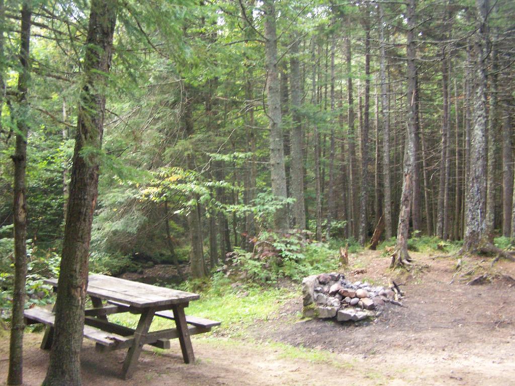

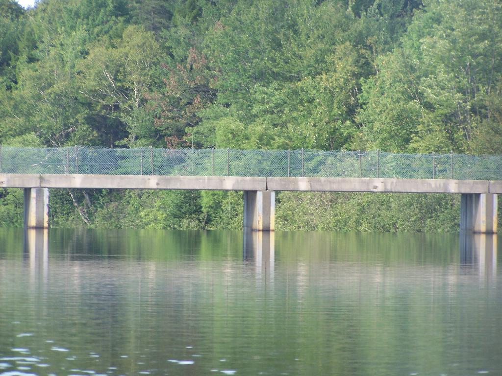
There are no posted weight restrictions on this dam, and people regularly bring their fifth wheel campers across it. That said, the Albany bureaucrats in the DEC wants to close off vehicular access, because they don't believe the public should be allowed to camp on their own lands, especially not in something like a pickup truck or an RV.
Wednesday August 11, 2010 — Moose River Plains — Bear Pond Trail 🗺 — Beaver Lake 🗺 — Ice House Pond 🗺 — Moose River Plains Camping Area 1-30 🗺 — Moose River Plains Camping Area 123-131 🗺 — Moose River Plains Camping Area 30-40 🗺 — Moose River Plains Camping Area 41-61 🗺 — Moose River Plains Camping Area 64-74 🗺 — Moose River Plains Camping Area 71-123 🗺 — Moose River Plains Camping Area 80-110 🗺 — Moose River Plains Camping Area 80-111 🗺 — Moose River Plains Recreation Area 🗺 — Natural Rock Dam Trail 🗺— PDF with All Maps 📚